

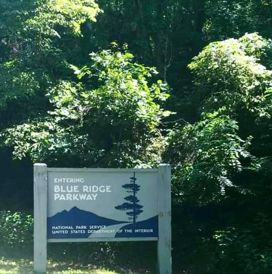
THE BLUE RIDGE PARKWAY
The Blue Ridge Parkway (BRP) is a US National Parkway and the longest linear park in the country. It spans 469 miles from Shenandoah National Park in Virginia to the Great Smoky Mountains National Park in both Tennessee and North Carolina.
With an average speed of 45 miles per hour, it is meant to be driven leisurely and savoured. There are no traffic stops or lights anywhere on the 469-mile drive.
Much of the Blue Ridge Parkway is closed between November and April, and you should always check this site for road closures before you take off.
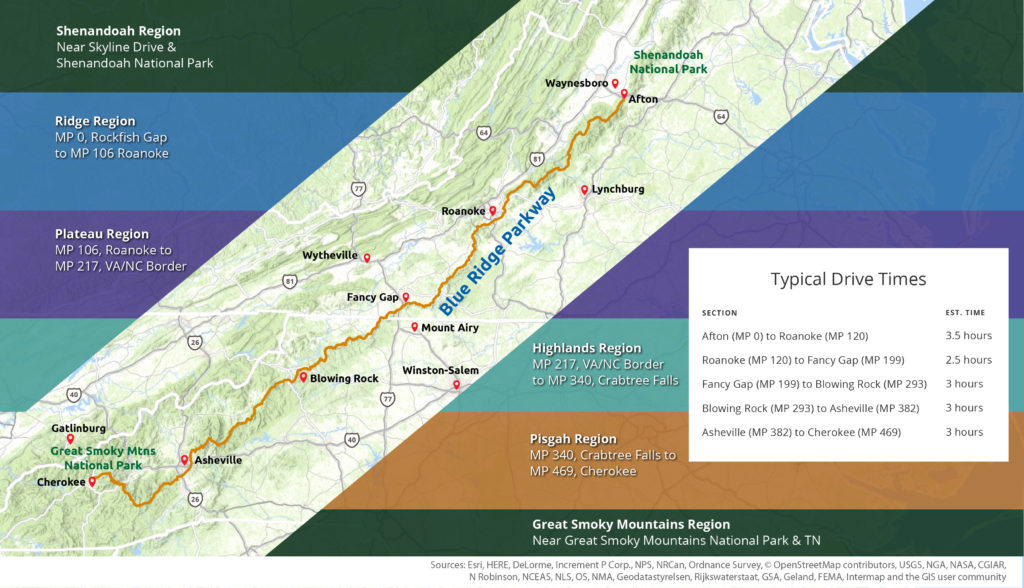
The BRP is divided into six regions:
1. Shenandoah (National Park) Region
2. Ridge Region MP 0-106
3. Plateau Region MP 106-217
4. Highlands Region MP 217-340
5. Pisgah Region MP 340-4469
6. GREAT SMOKY MOUNTAINS (NATIONAL PARK) REGION
This blog is obviously about the Great Smoky Mountains (National Park) Region. The first and last regions are moreso caps for each National Park on either end, and the four inner regions are defined by the Milepost (MP) markers they fall within.
I live in the Great Smoky Mountains region, so I am going to do this whole series from the bottom up. This means starting in Townsend, driving through the park to Gatlinburg, then taking Newfound Gap to Kuwohi, then on to Cherokee to join the Blue Ridge Parkway.
Here is a map I am sharing from BlueRidgeParkway.org:
 HISTORY
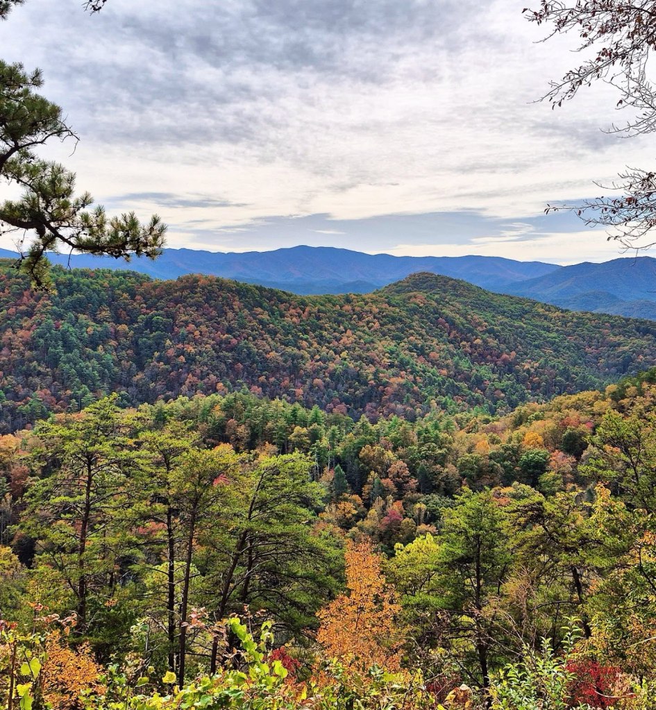
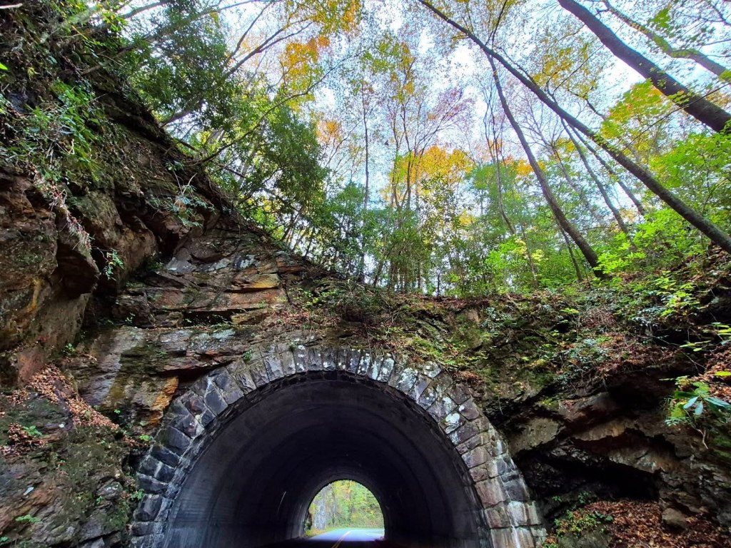
The Blue Ridge Parkway traverses the spine of the Appalachian Mountains, especially its Blue Ridge range.
Groundwork for the Blue Ridge Parkway was laid in 1936 per instruction of President Roosevelt, and the parkway has remained the most visited National Park System since the 1940s, minus just four years.
It highlights some of the most astounding geographic and natural features of the United States like New River (which is actually the oldest river in North America), Mt. Mitchell and Whitewater Falls (highest mountain peak and highest waterfall east of the Rockies, respectively), and Linville Gorge (deepest gorge east of the Grand Canyon).

GREAT SMOKY MOUNTAINS REGION
The Great Smoky Mountains Region showcases the Great Smoky Mountains National Park which was established in 1934 and dedicated in 1940 by President Franklin D. Roosevelt.
It is a UNESCO World Heritage Site, a designated International Biosphere Reserve since the 1970s, and has been part of the greater Southern Appalachian Biosphere Reserve since the late 1980s.
There are three entrances to the park. Gatlinburg, TN and Townsend, TN are both on the northern edge, and Cherokee, NC is on the southern edge.
Gatlinburg, Pigeon Forge, and Sevierville comprise a major tourist trap that some folks like to call the “Myrtle Beach of the Mountains.”
Townsend is known as the “Peaceful Side of the Smokies” and has some more relaxed communities like Walland and Wears Valley.
Cherokee is home to the actual Eastern Band of Cherokee tribe. Be mindful that this land was home to the Cherokee and other Native people before they were forcefully removed by former President Andrew Jackson’s signing of the Indian Removal Act in 1830.
Cherokee is the official southern terminus of the Blue Ridge Parkway, which you will hop on and head north to begin.
While Cherokee is rather touristy, it is smaller and much more navigable than places like Pigeon Forge. The CDP community of Cherokee, Bryson City, is known as a cycling and outdoor sports hub.

Both the Appalachian Trail and the Newfound Gap Road mountain pass cross through the Great Smoky Mountains (National Park) Region.
The Appalachian Trail extends over 2,000 miles from Maine down to Georgia with more than 70 miles of it going through the GSMNP between Fontana Dam and Davenport Gap, with Newfound Gap & Kuwohi in between.
THE GREAT SMOKY MOUNTAINS NATIONAL PARK
GSMNP is the most visited national park in the United States and one of the few, if any others remain, that allows free admission.
Of course they have found a loophole and now require guests to obtain parking tags, but I am not going to complain at all about supporting the conservation of a place I love so dearly.
Last time I checked, tags for parking are $5 per day or $15 per week, or $40 for the entire year.
You can buy the tags here or in any of the park’s visit or centers.
The GSMNP is open every single day, all day and all night, but you should always check the official National Park Service website for road closures due to flooding, fallen trees, and other unforeseeable things that happen in the wilderness.
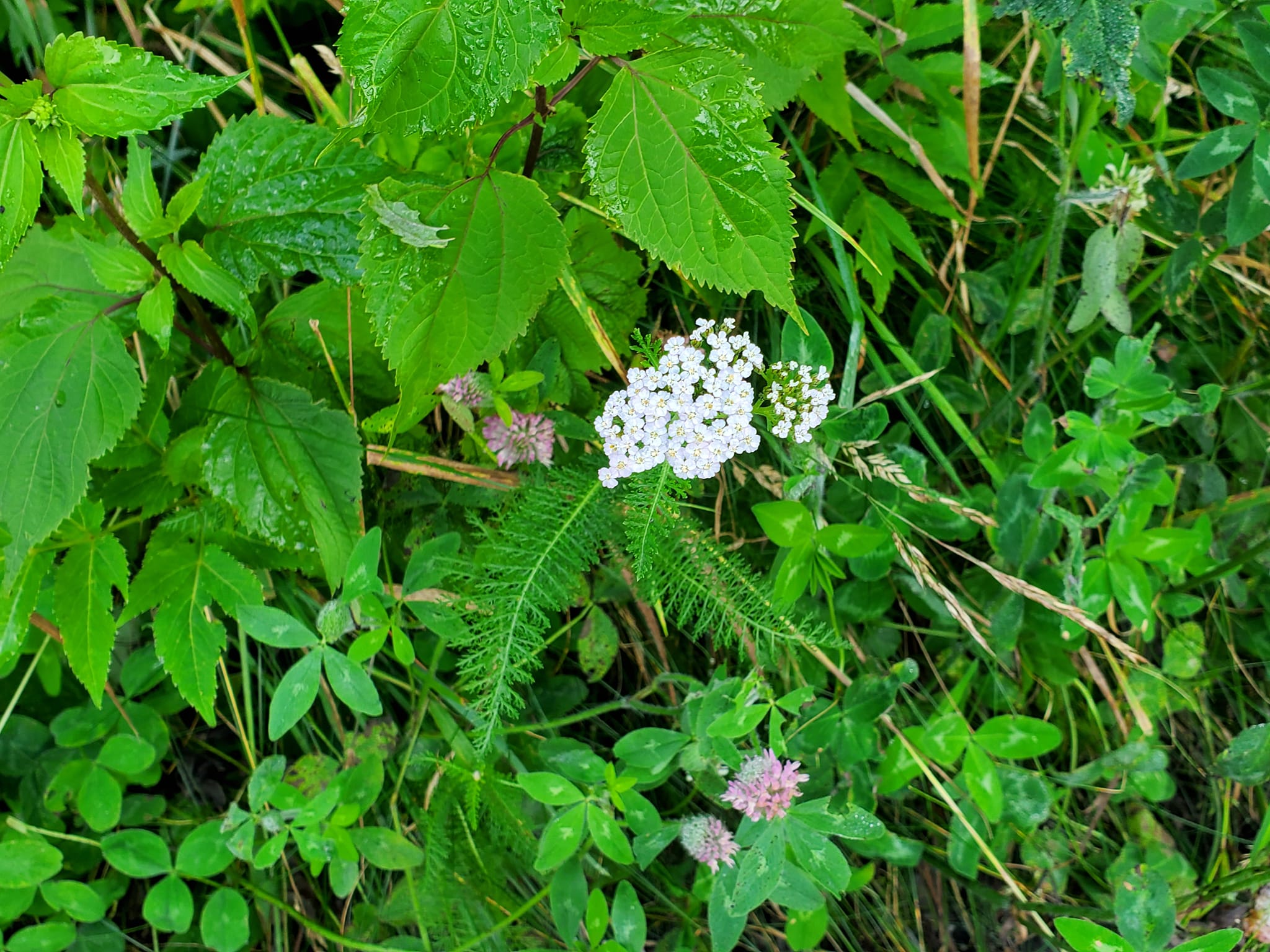
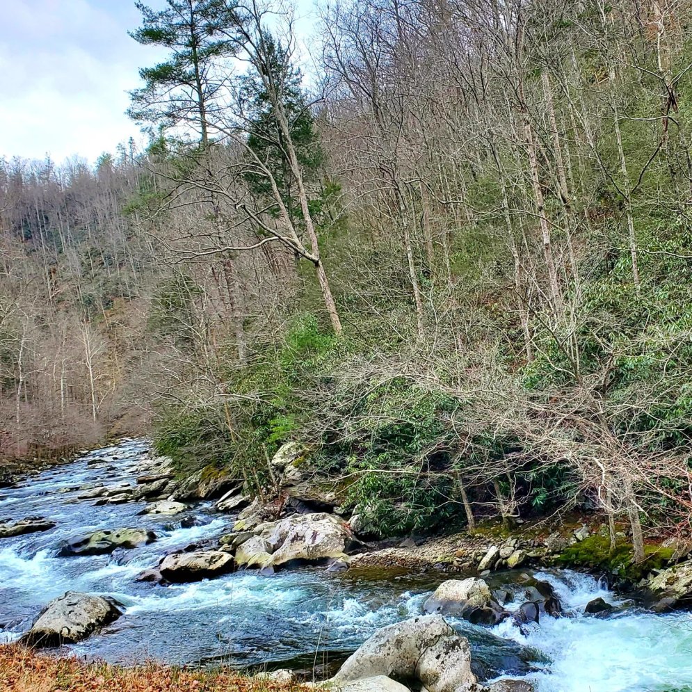
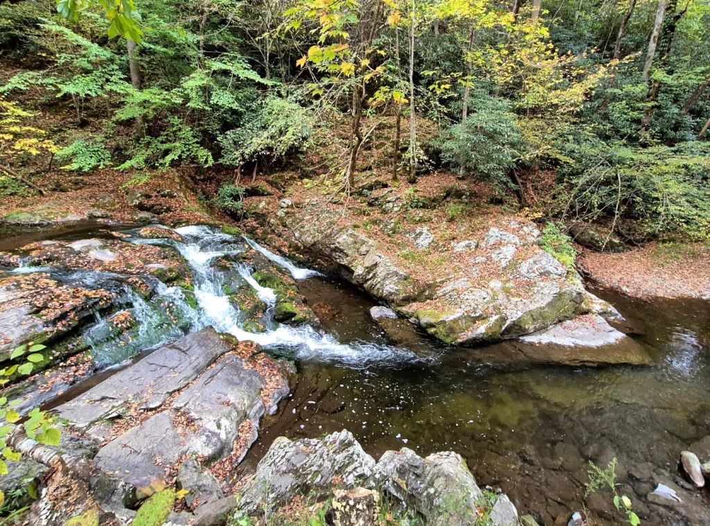
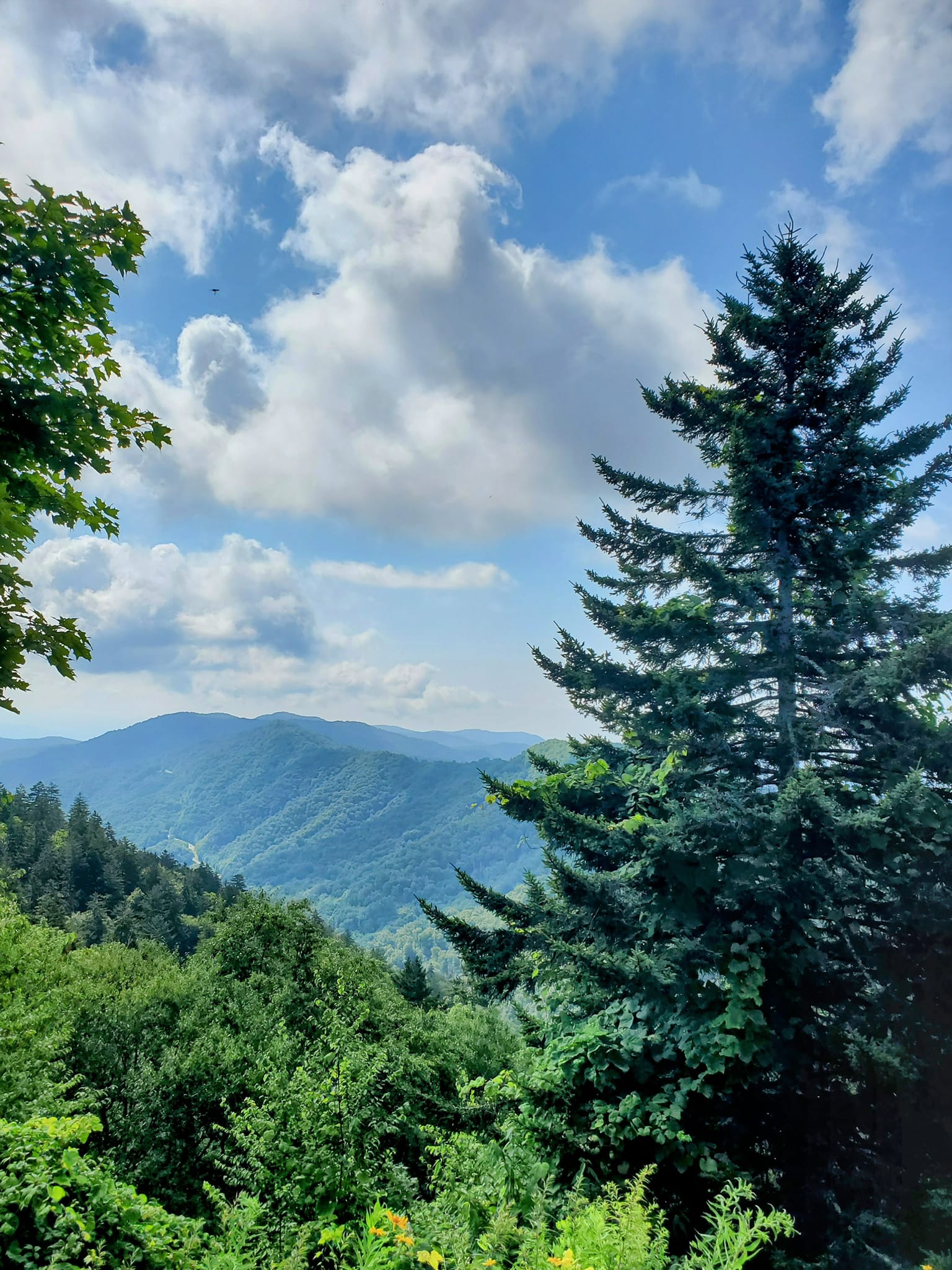
Visitors can walk, hike, and bike more than 800 miles among 150 separate trails. There are nearly 3,000 miles of waterways, with 2,200 of those being streams, and multiple waterfalls within its 522,000+ acres.
Some of the highest and most popular peaks are Kuwohi (6,643 ft), Mt. LeConte (6,593 ft) via Alum Cave Trail, and Mt. Guyot (6,621 ft) being the most strenuous.
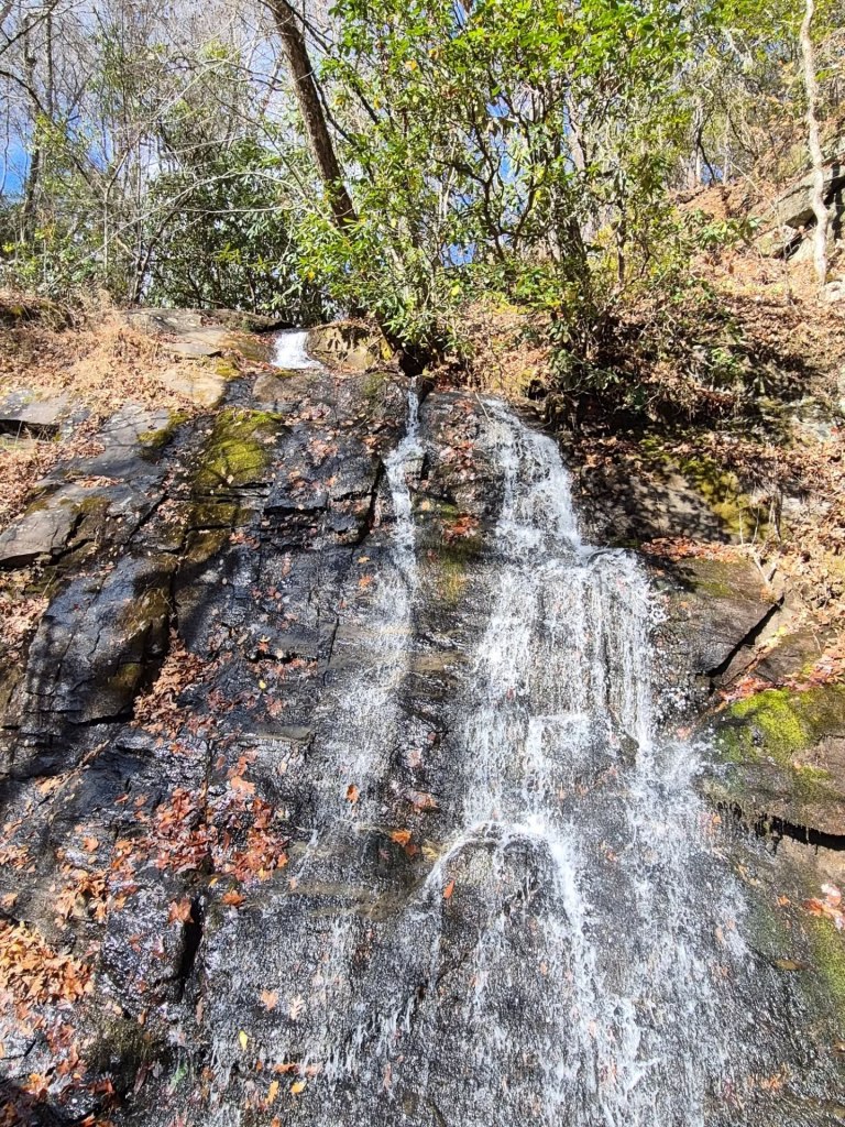
Rainbow, Abrams, Laurel, and Grotto Falls are a few of the most popular waterfalls and the park gets around 85 inches of rain fall each year, but usually more..
The GSMNP is known as the Salamander Capital of the world and is home to more than 30 known salamander species.
There are more than 80 varieties of other amphibians and reptiles, over 1,500 blossoming plants, 200 types of birds, nearly 70 different mammals, and almost separate 70 fish species within the park, yet black bears remain the most treasured.

Speaking of black bears, you are probably going to run into one. Sometimes they are three feet away and no one realizes it until of you gets startled.
It is very common to encounter them while they are crossing the street or a trail in the woods.
Be smart about it. If you do not know what that means, read this and this.
The photo above and the one below were both taken from inside a parked vehicle.

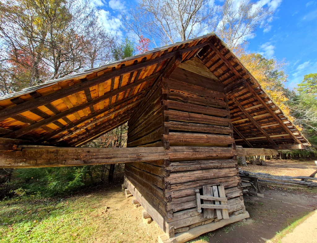
The GSMNP has one of the largest and best collections of log structures in the US, with nearly a hundred original homes, barns, schools, mills, churches, and outbuildings.
Cades Cove and Cataloochee Valley have the highest concentrations of these buildings, and some of the most well-known ones belonged to the Walker Family. I will tell you more about those places later.

FOOTHILLS PARKWAY
If you decide to enter the Great Smoky Mountains National Park through Tennessee, either from Townsend northwest of the park or from Gatlinburg northeast of the park, I strongly suggest driving the Foothills Parkway while you are in the area.
The Foothills Parkway overlooks are a super popular for dates, picnics, sunrise and sunset viewings, and stargazing.

It is not too far north of either city, and will give you a completely different perspective of the GSMNP region with far less traffic than driving US 441.
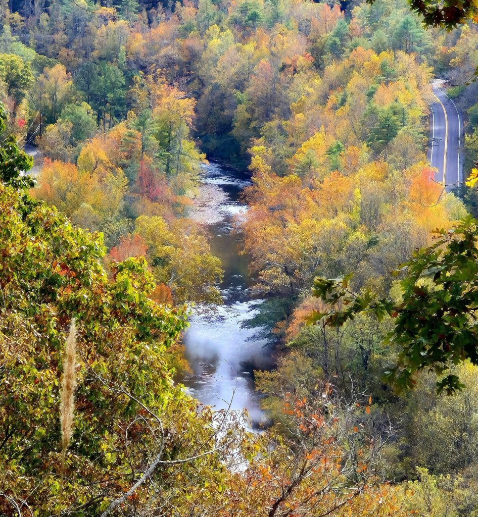
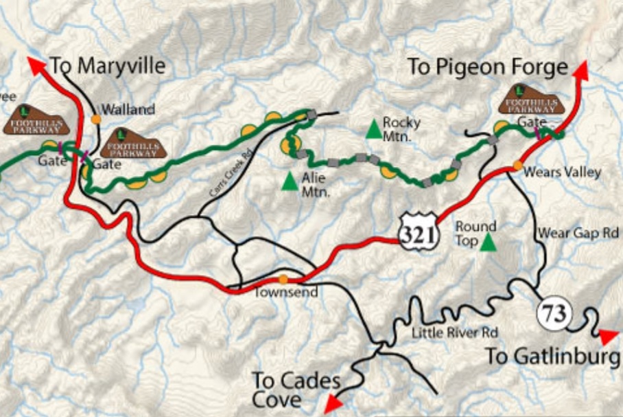
The full length of the Foothills Parkway is expanding, but is currently 33 miles long. My favourite part is the 17-mile stretch from Walland to Wears Valley that you can usually make in less than 20 minutes, but allot time for stops.
Below is a helpful screenshot I took of the map on FoothillsParkwayTN.com. The route in red is US Hwy 321 and the route in green is the Foothills Parkway.
GATLINBURG
Outside the Great Smoky Mountains National Park, the cities of Sevierville, Pigeon Forge, Gatlinburg form a strange and bizarre hotbed for tourists.
If you are entering the Great Smoky Mountains National Park from Knoxville or any other place north of Gatlinburg, you will almost inevitably have to go through Sevierville and Pigeon Forge first.
SEVIERVILLE is pretty alright. Winnfield Dunn Parkway runs the length of Sevierville, parallel to, but not always within sight of the Little Pigeon River.
Sevierville was named after John Sevier, one of the founding fathers of the State of Tennessee.
It is pronounced Se-VEER-ville, not SEVYER-ville. You can even get by saying Suh-VEER-vull if you are a local.
Lookin’ at you, GPS.

My favourite spot here, believe it or not, is a company called Smoky Mountain Knife Works.
Knives are cool and all. I am known to keep a machete and a bowie knife on me, but knives are not the primary reason you should visit.

The entire store is filled with naturescapes and dioramas, taxidermized wild beasts, waterfalls, and a creek bubbling around.

Descend into the lower level to the Relic Room where you can view historical artifacts and relics, and even purchase many of them.

These items include natural art, Native made art and replicas, local crafts and decorative items, jewelry, and crystals.

There is a whole section of military weapons, uniforms, books, and other gear.
Be prepared to see representation from all sides, not just the good guys.

For more artificial landscapes, you can visit the Bass Pro Shops just down the parkway. I say this with zero irony as a huge fan of natural history museums.
Both of these places are pretty cool and there is a lot to see and learn for free.
The Little River Gem Mine is a gift shop where you can buy all types of handmade and repurposed signs, statues, and other art items.


Cherokee Trading Post is in the same vein, but geared more toward replications of Cherokee art and goods.
There are a lot of fascinating items inside but please consider purchasing from actual members of the Cherokee Nation or ventures such as the Cherokee Nation Gift Shop.

Just keep driving down Winnfield Dunn Parkway, there never seems to be a shortage of roadside attractions and oddities on display.

Fireworks, antiques, and helicopter tours are all the rage here as well. A new Buc-ee’s location opened last year, worsening the already suffocating traffic situation, but when in Rome…
Tennessee Shine Co. is a popular destination for tourists and anyone who does not have their own personal Moonshine supplier.
Yes, that is a thing around here.

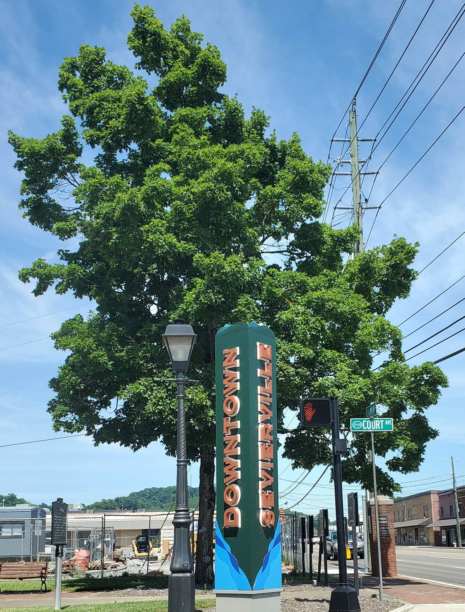
Winnfield Dunn Parkway forks just north of its intersection of Main Street in downtown Sevierville.
It is simply called “Parkway” going east and called “Forks of the River Parkway” heading south. Both merge again around the main downtown square with the Sevier County Courthouse.
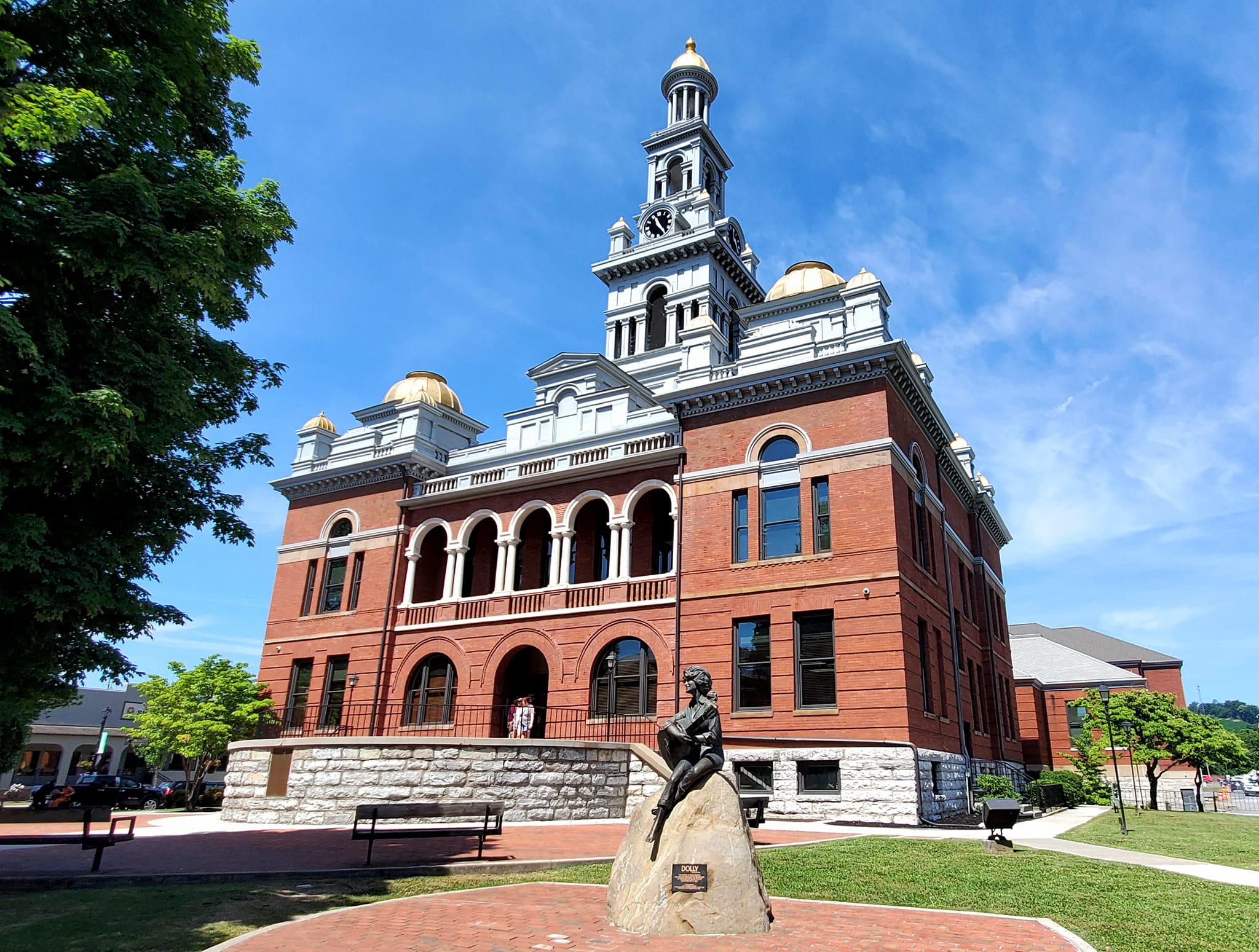
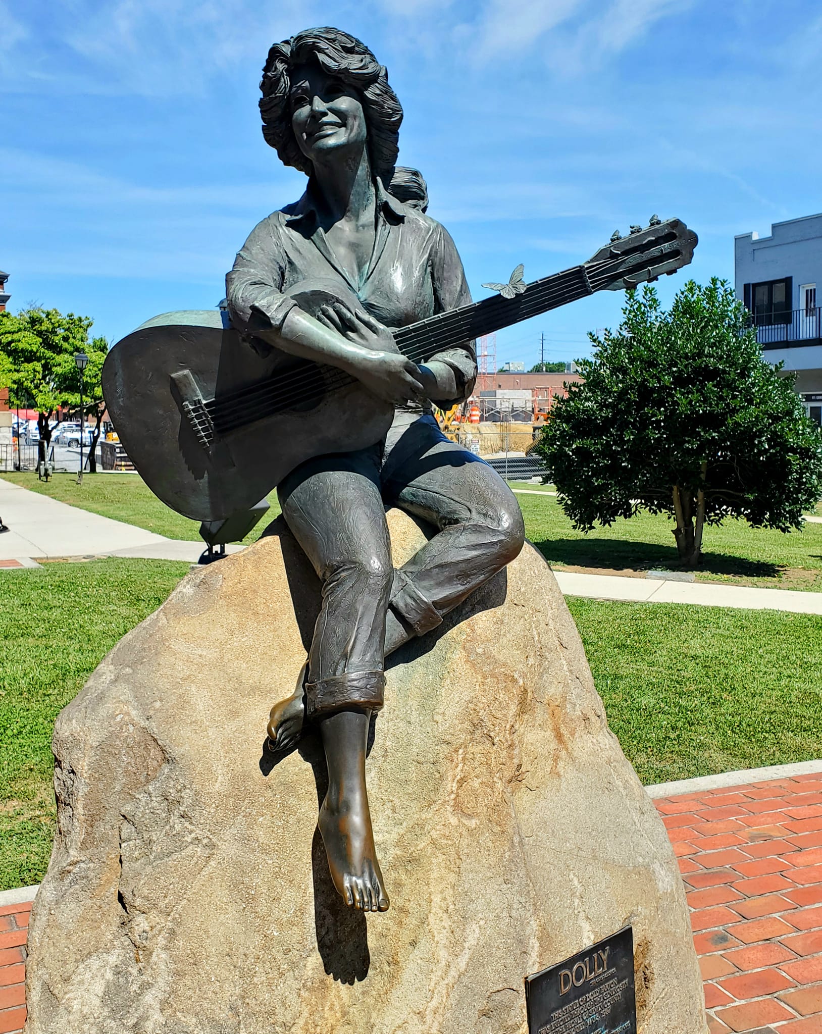
A statue of Dolly Parton, Sevierville’s golden child and the Queen of the South, stands in front of the courthouse on Court Avenue.
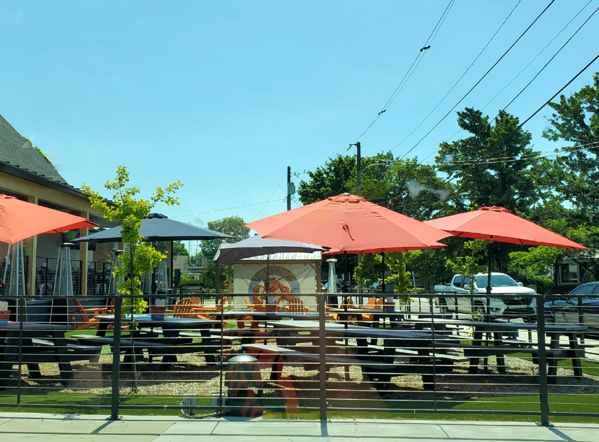
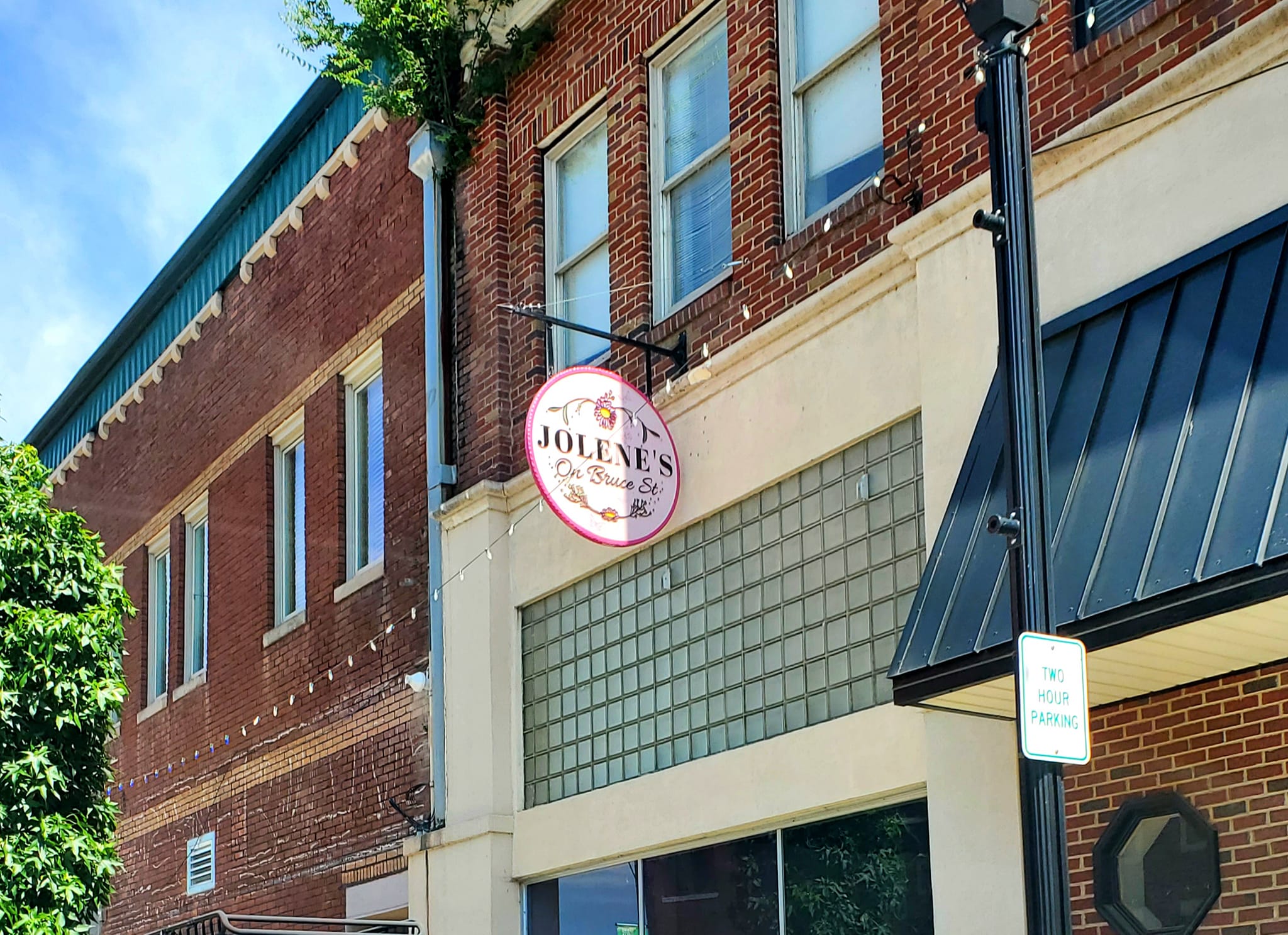
A block away on Bruce Street, there are several restaurants like Graze Burgers, The Appalachian, and Penny’s Café, or continue down Court Avenue to Pinchy’s Lobster & Beer Company, and Wildflour Bakery.
There are several boutique shops like Garden Floratique, and Jolene’s, much different than the big box stores that have taken over the rest of Sevierville and Pigeon Forge.
Check out the Tennessee Museum of Aviation while you are there, too.

PIGEON FORGE is said like “PID-gin” not “Pahj-YON” and Forge rhymes with George.
A lot of tourists get their feelings hurt when they try to act fancy about the name.
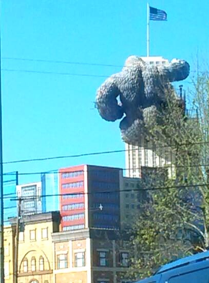
Pigeon Forge is an intentionally designed tourist trap town with buildings that are designed to look like they are upside down or toppling over, on fire, or have Godzilla hanging off the side of a skyscraper, or some sort of monster leering out at you from the roof.
I can’t handle it.
People call Pigeon Forge the Myrtle Beach of the Mountains.
There are Opry-like theatres full of famous country impersonators and redneck/lumberjack dinner theatres where people ride around on ostriches in cowboy attire and devour enormous turkey legs and holler real loud.
It gets greasy in there, y’all. Don’t be wearing your Sunday best to those places.
There is a suspiciously oversized Titanic replica, a Ferris wheel or two, some roller coasters, regular Jeep takeover conventions, random explosions, fountains of moonshine bursting forth from the earth, Paula Deen’s Bastion of Butter enacting the entire book of Revelations, and enough fudge to drown all the elephants of Africa.
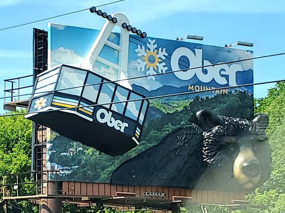
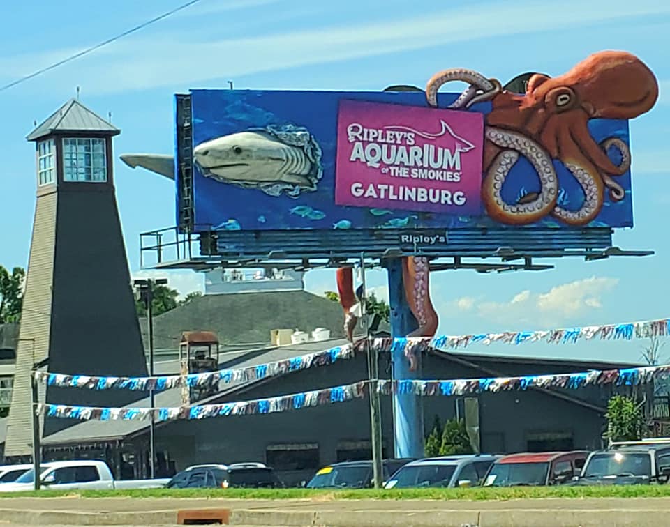
Dollywood, Ober Gatlinburg, and Ripley’s Aquarium are some of the other major attractions in this area, and you will see billboards for them everywhere you look.
If you can drive through Pigeon Forge in the super late night/early morning hours when nearly everything is closed it can be kind of cool, but prepare for violence-inducing traffic jams otherwise.
This strange land has its perks, but gives me legitimate “I’m going to shit my pants” chaos vibes, as someone who has literally traveled around the planet alone.

My brother has a knack for talking me into taking him to places I do not really want to go.
He successfully convinced me to venture past my comfort zone in Sevierville, to the edges of Pigeon Forge, and insisted we pay respects to Guy Fieri at his Downtown Flavourtown restaurant.

I prefer to support locally-owned and non-chain businesses, but it’s Guy Fieri. He is a worthy exception.
If you are not familiar with the celebrity chef that pours his whole heart into volunteering and donating to those in need, start here.

While you wait for your table, or if you just feel like stopping in, check out Guy’s cars and other notorious memorabilia on display for selfies.

There is an arcade and a bowling alley to keep you occupied as well, so you could come for a meal or make a night of it.


Downtown Flavortown is located in a medium-sized entertainment complex that is set off the main road.
This makes it easy to visit other shops in the complex like Pepper Palace, Cinnaholic, The Spice & Tea Exchange, Currahee Winery, Coffee Armory, Junction 35 Spirits, and even a vertical thrill ride.

Junction 35 Spirits is a popular distillery, tasting room, and restaurant.
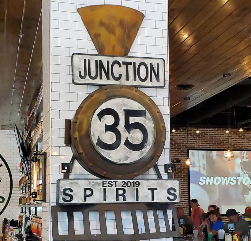
You can peruse the gift shop and take home souvenirs and your own bottles of booze.
Look out for this cool mural too.

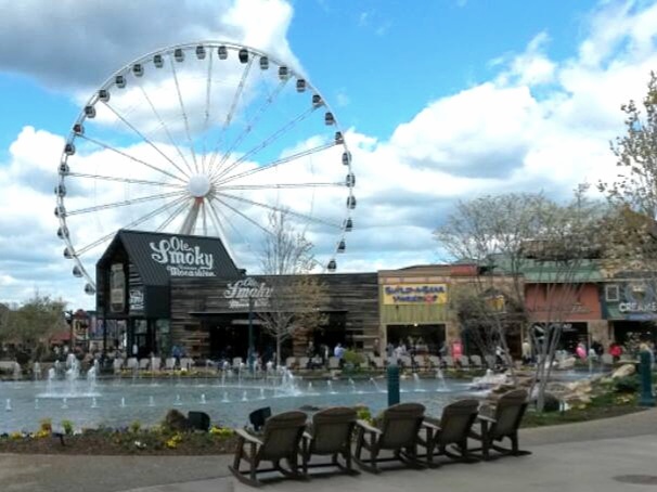
THE ISLAND is an entertainment complex in Pigeon Forge that is packed with ticket based rides and activities like laser tag, rope courses, escape rooms, mini roller coasters, 7D simulations, arcades, bumper cars, and museums.
You can not miss it, just look for the giant ferris wheel and Ol’ Smoky Moonshine distillery.
Parking can be a pain, but it is actually pretty calm once you get inside in comparison to other Pigeon Forge attractions.
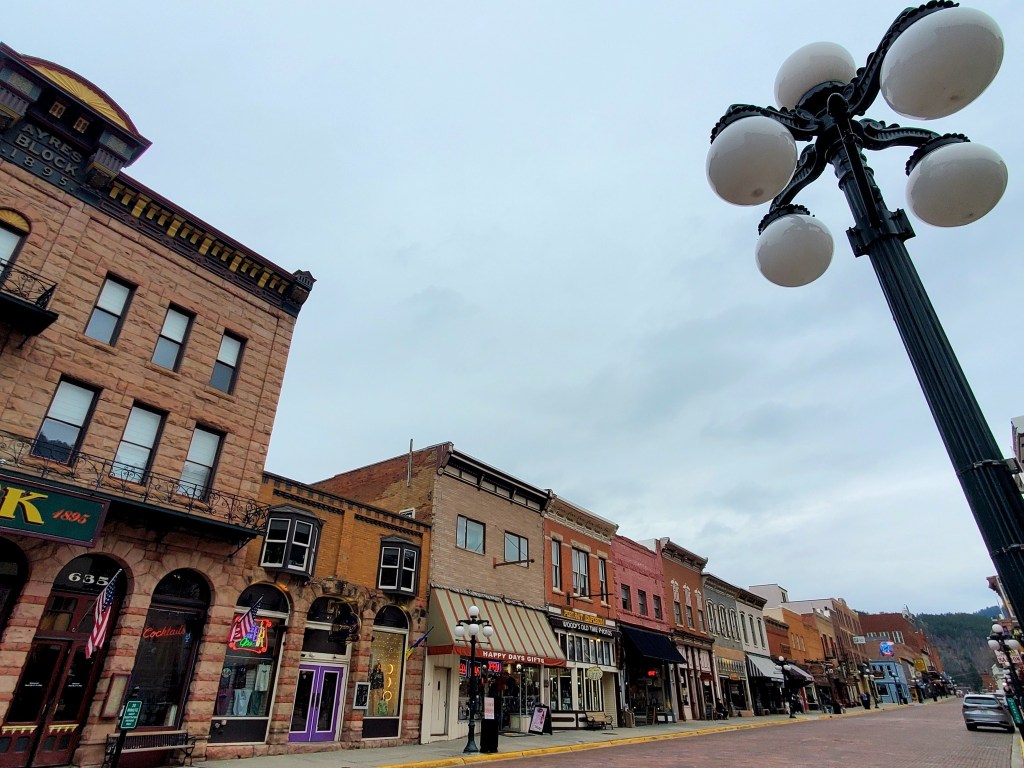
GATLINBURG is much more chill than Pigeon Forge, known for its luxury cabins overlooking the mountains, but you have to go through so much Pigeon Forge madness just to get there.
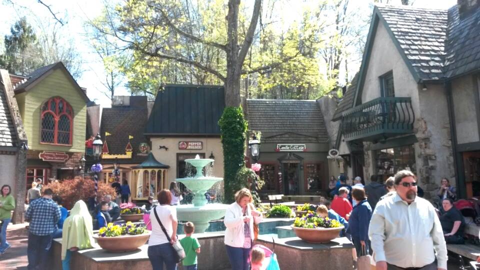
The Village Shops is one of my favourite parts of Gatlinburg, mostly for sentimental reasons. This little complex has been there since the beginning of Gatlinburg’s days, and since I first started going as a kid.
It is set up to look like an old Bavarian village and that may be the best thing about it overall.
If you want to spend your vacation in a more peaceful place away from all the crowds and noise, enter the GSMNP through Townsend and Wears Valley instead.

TOWNSEND is a mountain town located halfway between Maryville and Gatlinburg, and it is my favourite of the three entrances to the Great Smoky Mountains National Park.
I live quite close to the Townsend and Gatlinburg entrances and when I visit, I typically go there and back instead of driving all the way through the park and into Cherokee.
This allows me to avoid all the tourist madness of Gatlinburg and Pigeon Forge altogether.
I have written a separate blog about Townsend, Walland, and Wears Valley so check that out, because this one is getting lengthy.
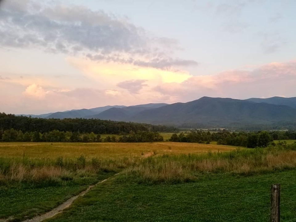
CADES COVE is a small valley at the Townsend entrance of the GSMNP, and one of most popular destinations in the park.
It is often called Tennessee’s counterpart to the Cataloochee Valley in North Carolina, though Cataloochee is not nearly as busy year round.
You can read more about Cataloochee Valley here.
Cades Cove is free to enter, then you just drive a one-way 11-mile gravel loop to view the scenery and hope for rad wildlife sightings
You can also park in designated spots to hike and explore the preserved homestead buildings. 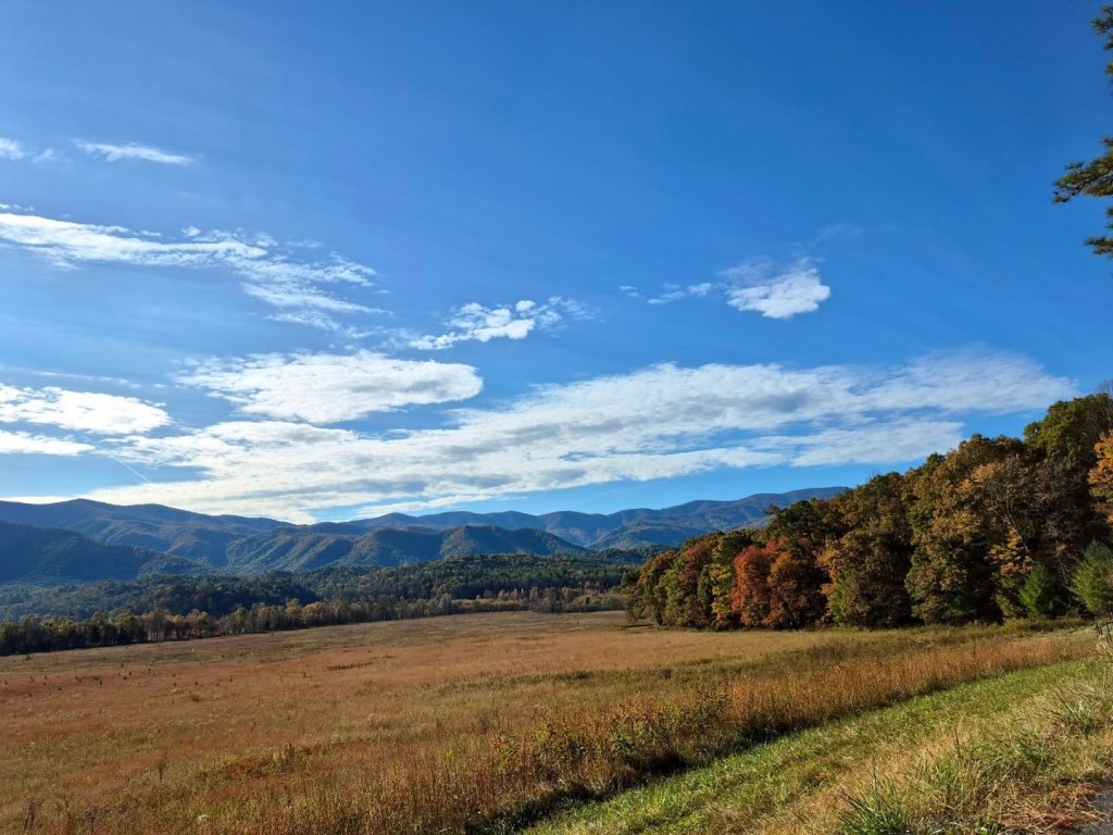
Abrams Falls is a 5-mile out and back trail that leads to a 25-feet waterfall.
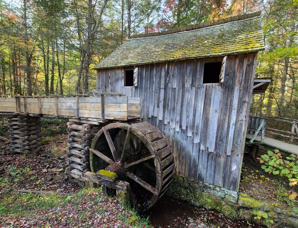
Cable Mill Historic Area hosts several old cabins and churches and other buildings. Be on the lookout for founder John Oliver’s Cabin and the old Cantilever Barn.
Bull Cave (Tennessee’s deepest cave) and Gregory’s Cave (famous trilobite fossil site and Cold War fallout shelter) are both popular sites to hop out and take photos in Cades Cove.
On Wednesdays from May to September, the park does not permit automobiles through the loop. If you are a hill walker or cyclist, this is your day.
NEWFOUND GAP ROAD is a mountain pass that crosses through the Great Smoky Mountains National Park, overlapping with US Route 441 and the Appalachian Trail.
It extends for 33 miles between Gatlinburg, Tennessee and Cherokee, North Carolina.
If you plan to drive between the two cities, you will be taking this road.

Newfound Gap Road was discovered to be the lowest mountain pass in the region back in 1872 when Arthur Guyot, who Mt. Guyot is named after, surveyed the range.
There is a parking lot by the Rockefeller Memorial, a popular attraction that commemorates when President Roosevelt dedicated the GSMNP in September of 1940.
From that lot, you can start walking the Appalachian Trail to Indian Gap, or turn onto Kuwohi Road to access Kuwohi and its observatory.

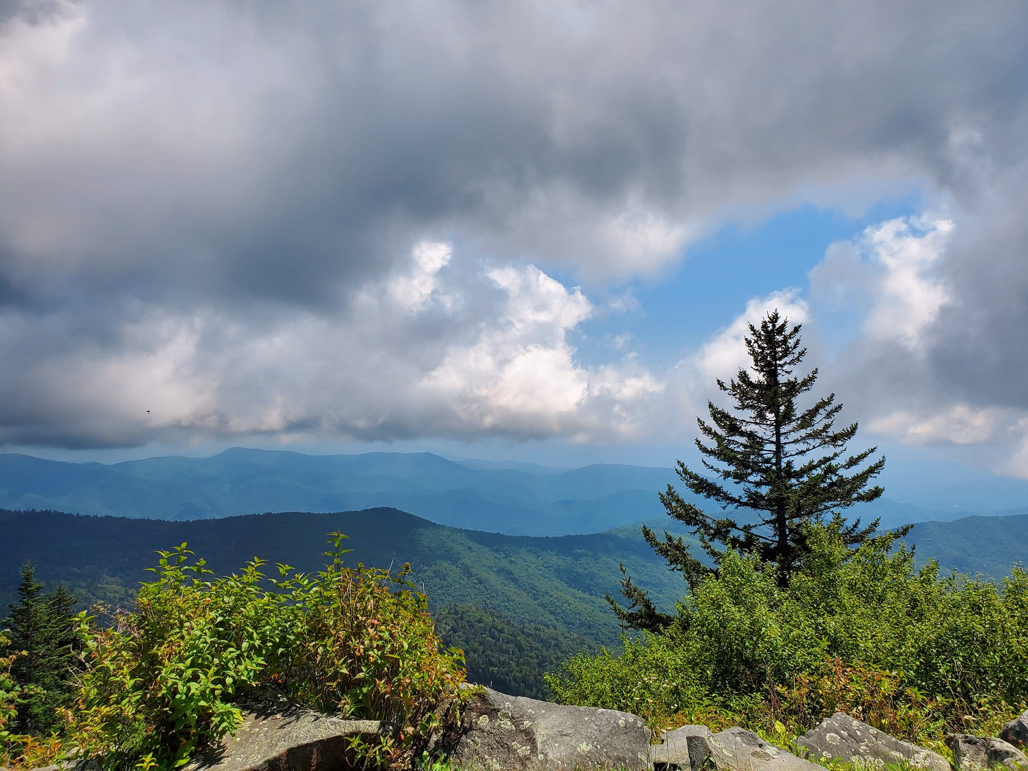
KUWOHI is the highest mountain in the Great Smoky Mountains National Park and has an altitude of 6,643 feet.
It is the highest peak of the entire Appalachian Trail and in the State of Tennessee, respectively.
Kuwohi means “mulberry place” in the Cherokee language, but it was renamed Clingman’s Dome by white folk in 1859. A surveyor named it after Thomas Lanier Clingman, a Confederate Brigadier General, U.S. Representative, lawyer, and North Carolina Senator.
It remained under the name Clingman’s Dome until September of 2024 when the U.S. Board of Geographic Names voted in favour of honouring the Eastern Band of Cherokee’s request to change the name back to Kuwohi.
This change was supported by the National Park Service and the local communities surrounding Kuwohi in an effort to foster a new, better type of relationship with the Cherokee people on their native land.
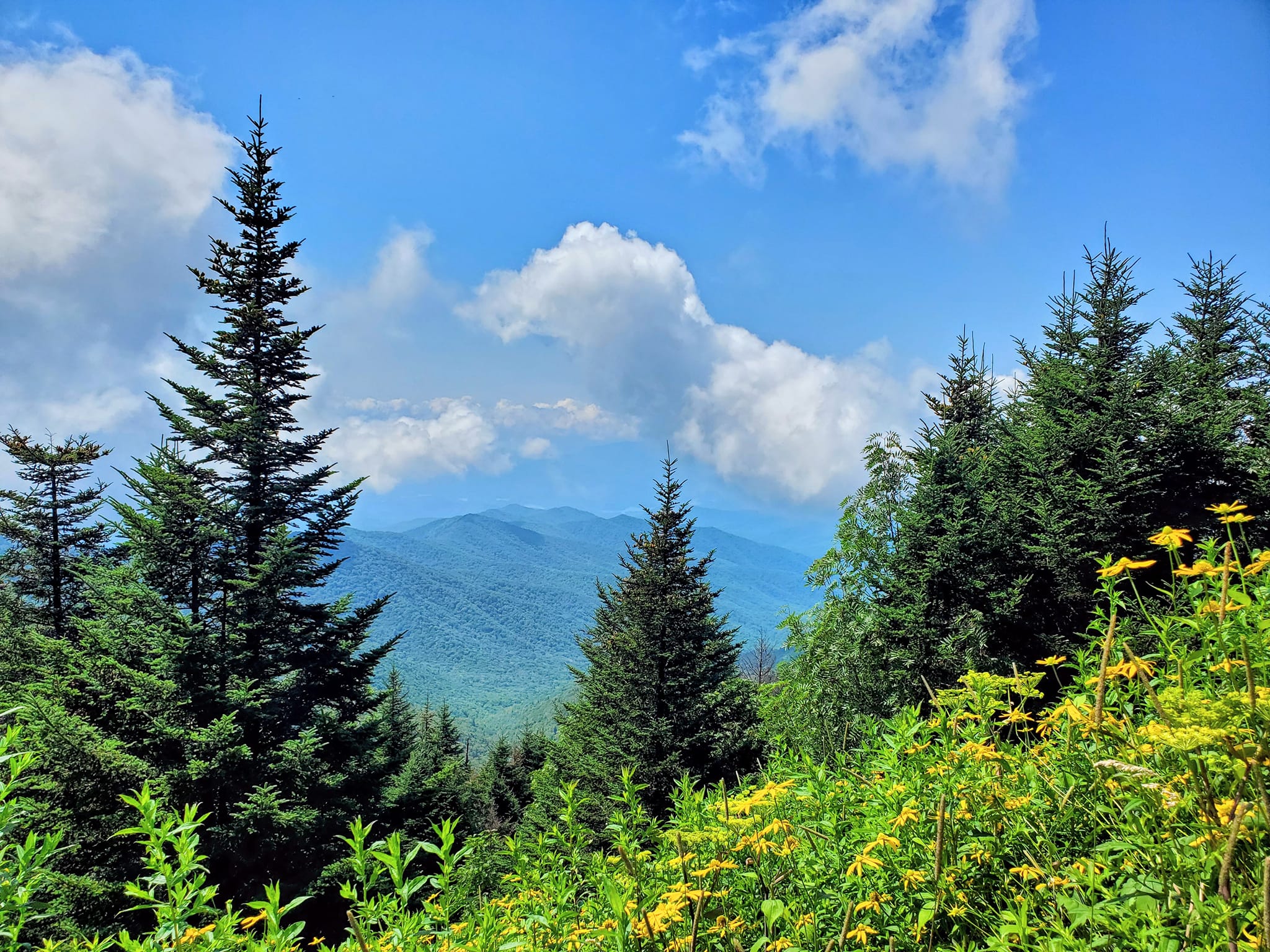
Kuwohi is considered the most accessible mountain in the whole park, with a seven-mile paved Clingman’s Dome Road (potentially renamed to Kuwohi Road soon) that leads to a wide paved parking lot, with a paved trail up the mountain, and a paved trail to the overlook tower.
It is still very steep in parts.
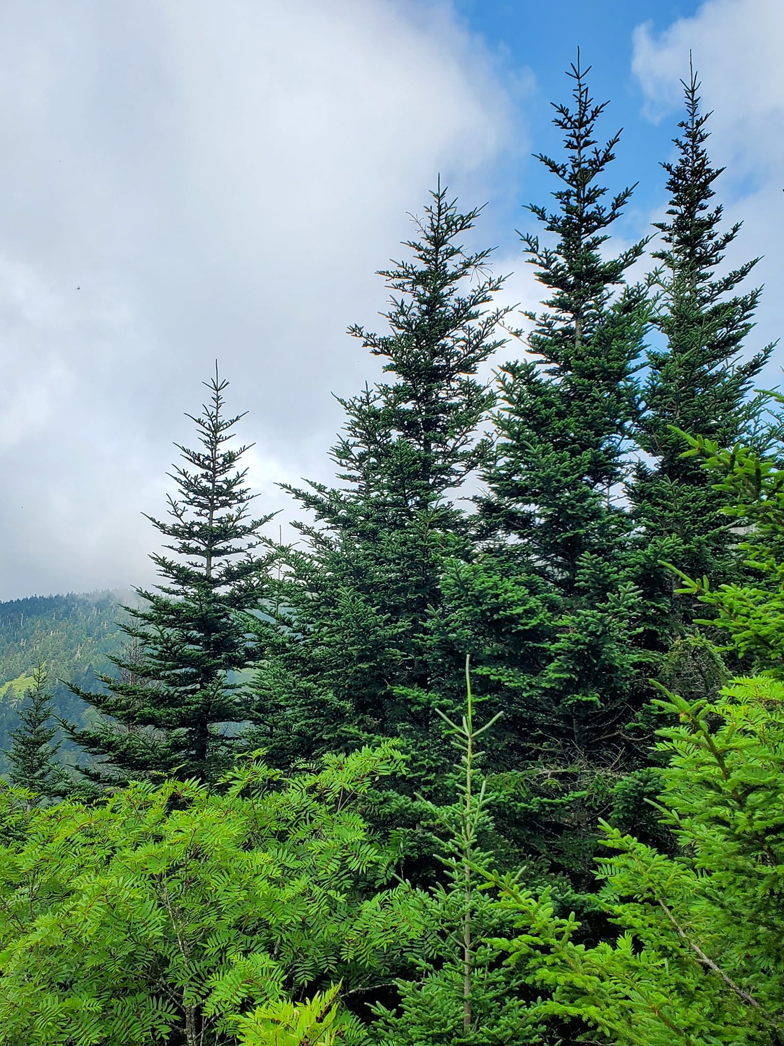
Kuwohi has a dense spruce-fir forest, which only occurs in places with the highest altitudes. That makes it pretty uncommon in these parts.
Sadly, many of the trees have been destroyed by fires, wind damage, and parasites called balsam woolly adelgids.
You can see some of the residual damage even among the most breathtaking views.
After climbing the half-mile paved trail up the mountain, you will reach the entrance to a 45-feet tower.
It was built in 1959 to provide a sweeping 360-degree overlook and is featured on the National Register of Historic Places.

CHEROKEE
If you are planning to get the most out of your visit to the Great Smoky Mountains National Park before hopping on the Blue Ridge Parkway, I definitely recommend starting in Townsend then making your way through the park to Gatlinburg, and then taking Newfound Gap to Kuwohi, then to Cherokee, NC where you can start on the Blue Ridge Parkway.
Cherokee is the southern entrance to the Great Smoky Mountains National Park, and it is the southern terminus of the Blue Ridge Parkway.
Cherokee is best known for its thriving Eastern Band of Cherokee community, which is synonymous with the unique, authentic art and crafts made by tribal members.
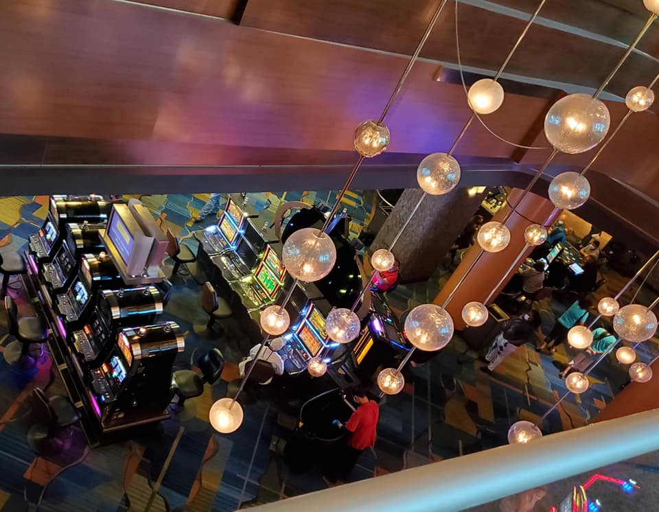
The most popular attractions in Cherokee are the outdoor drama production called Unto These Hills and, of course, the tribe-owned Harrah’s Casino.
I have a separate blog about Cherokee here.
OCONOLUFTEE
The Oconoluftee Visitors Center and Mountain Farm Museum will likely be your final stop before exiting the Great Smoky Mountain Park and beginning the Blue Ridge Parkway.

This is also where you have a high chance of spotting elk wandering around or crossing the water.

The exhibits in the visitor center and the outdoor living history museum provide a glimpse into what life was like for early Appalachian pioneers.
Staff can direct you to the nearby Mingus Mill and Mingo Falls as well.

As you leave Cherokee, you will cross the sacred region of Kituwah on the way to Bryson City, and from there you can go into the Deep Creek region of the Great Smoky Mountains National Park.
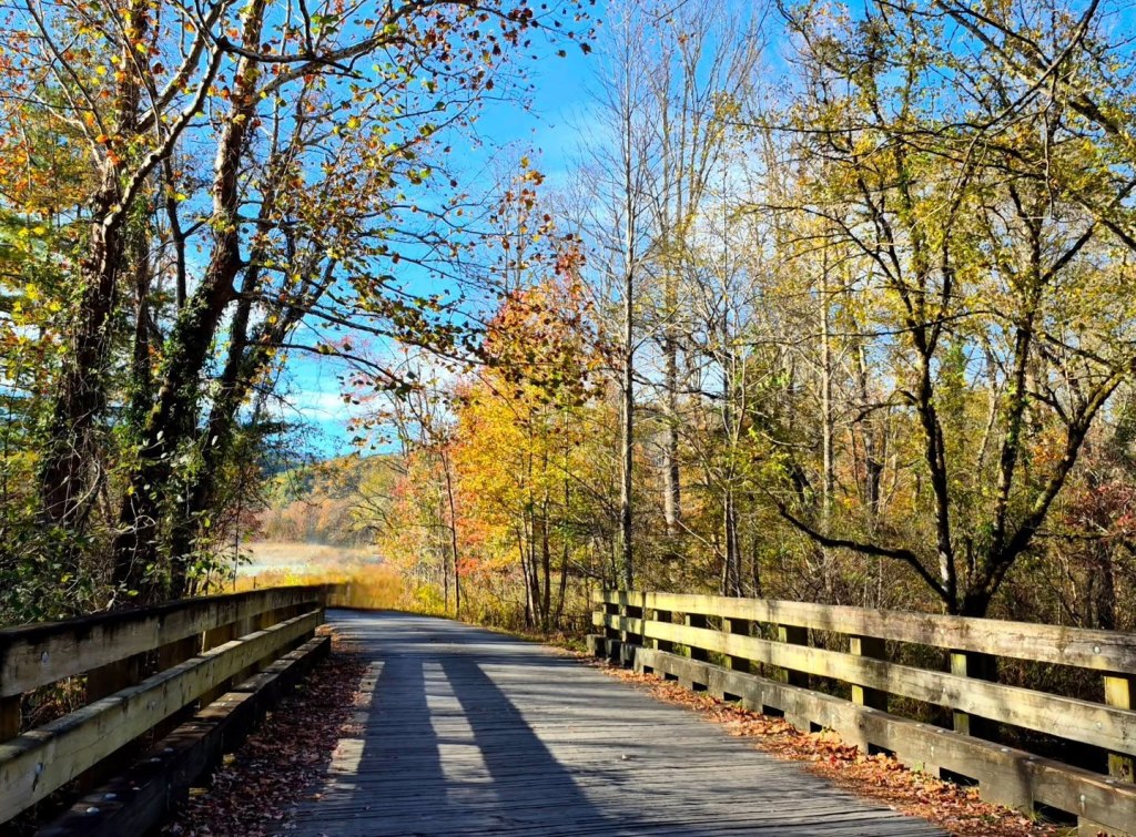
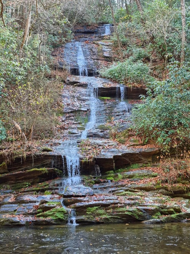
I really love the Deep Creek Waterfall Loop Trail, around 2.4 miles if you take it completely but there are other options to shorten it if needed. You can visit three waterfalls on this one route; Juney Whank Falls, Tom Branch Falls, and Indian Creek Falls.
In the area for awhile? Still? Follow me to the next segment of the Blue Ridge Parkway (2/6): The Pisgah Region (in progress).
********************
© Copyright Fernwehtun, 2015- Current. Unauthorized use and/or duplication of this material without express and written permission from this site’s author and/or owner is strictly prohibited. Excerpts and links may be used, provided that full and clear credit is given to Fernwehtun and Fernwehtun.com with appropriate and specific direction to the original content.


Leave a comment