

OCOEE COUNTRY & POLK COUNTY
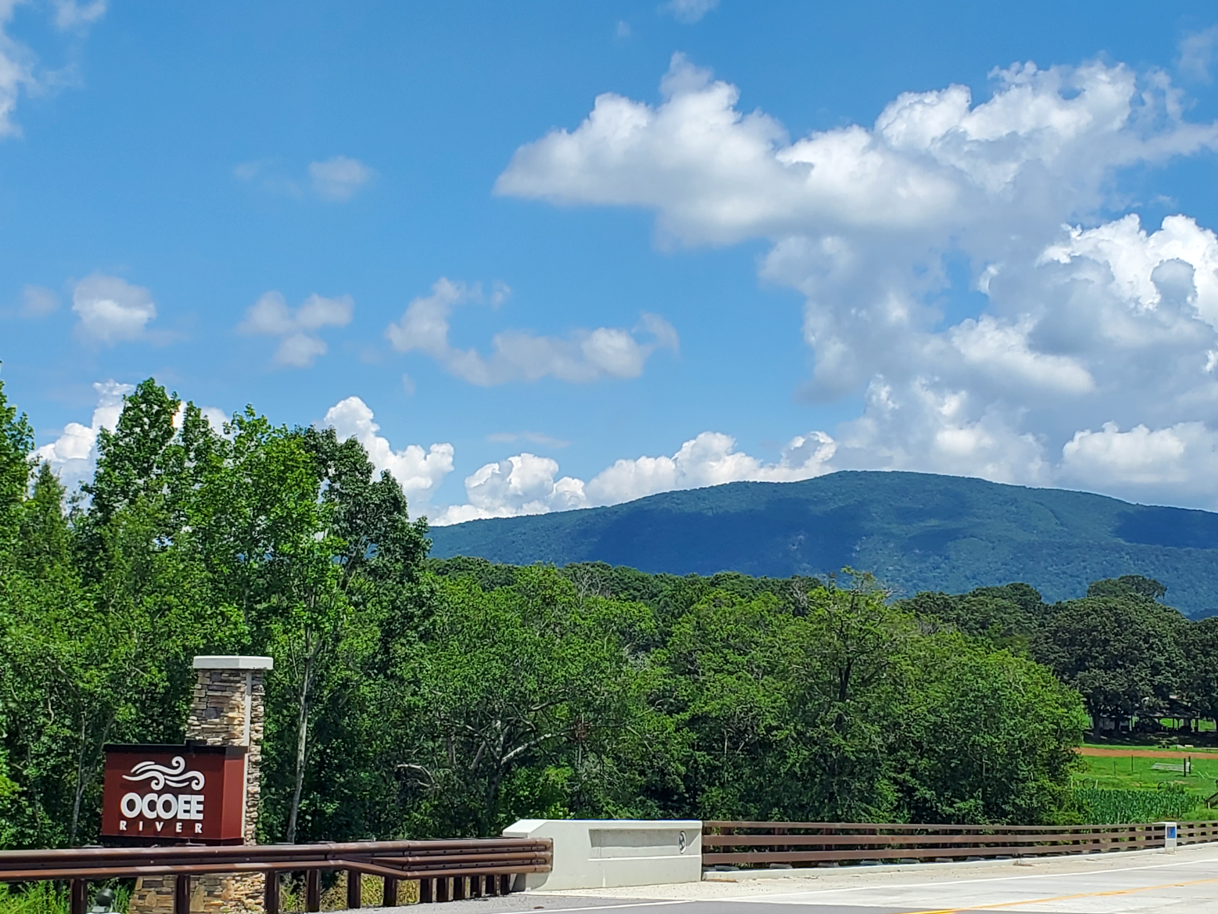
Ocoee Country is synonymous with Polk County, located in southeastern Tennessee just north of the TN/GA state line. Both the Ocoee and Hiwassee Rivers flow through Polk County, so it is famous for whitewater rafting.
Conasauga Falls, Chilhowee Mountain, the Benton MacKaye Trail, and the Hiwassee Ocoee Scenic River State Park are some of the county’s other main attractions.
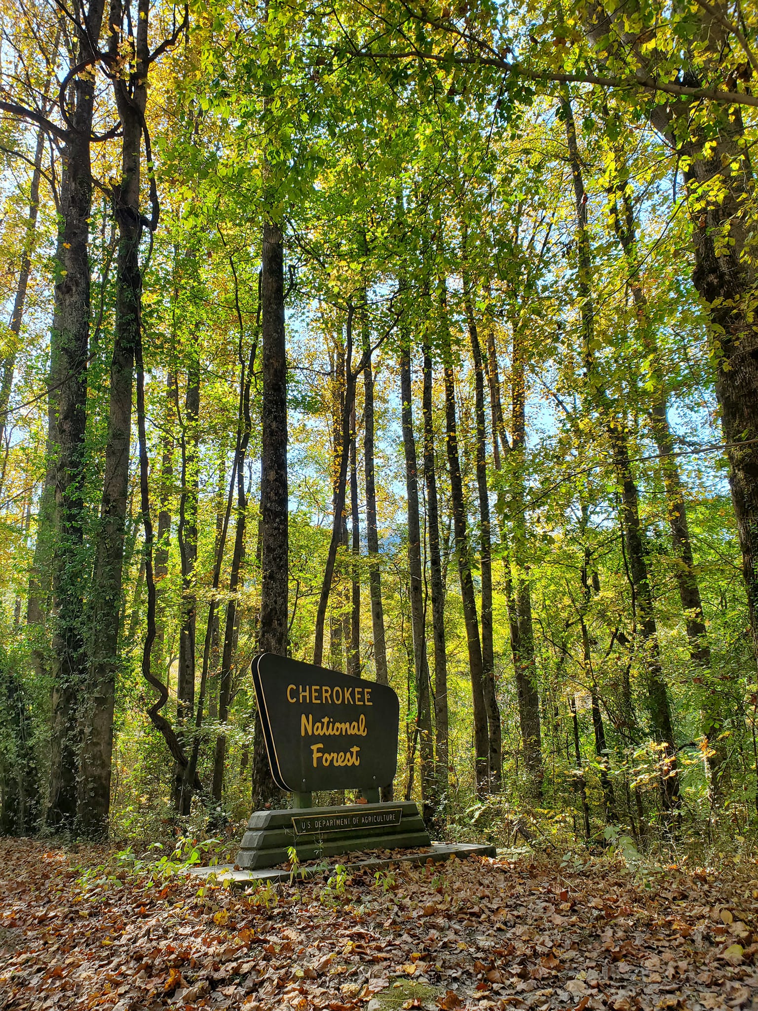
Ocoee Country is known as the Gateway to the Cherokee National Forest, a 650,000-acre wood divided into two parts that span Tennessee and North Carolina, with the Great Smoky Mountains National Park in the middle of it.
In fact, most of Polk County and Ocoee Country is located within the forest.
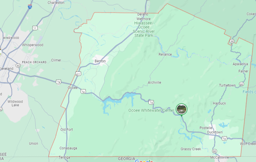
MAP IT OUT
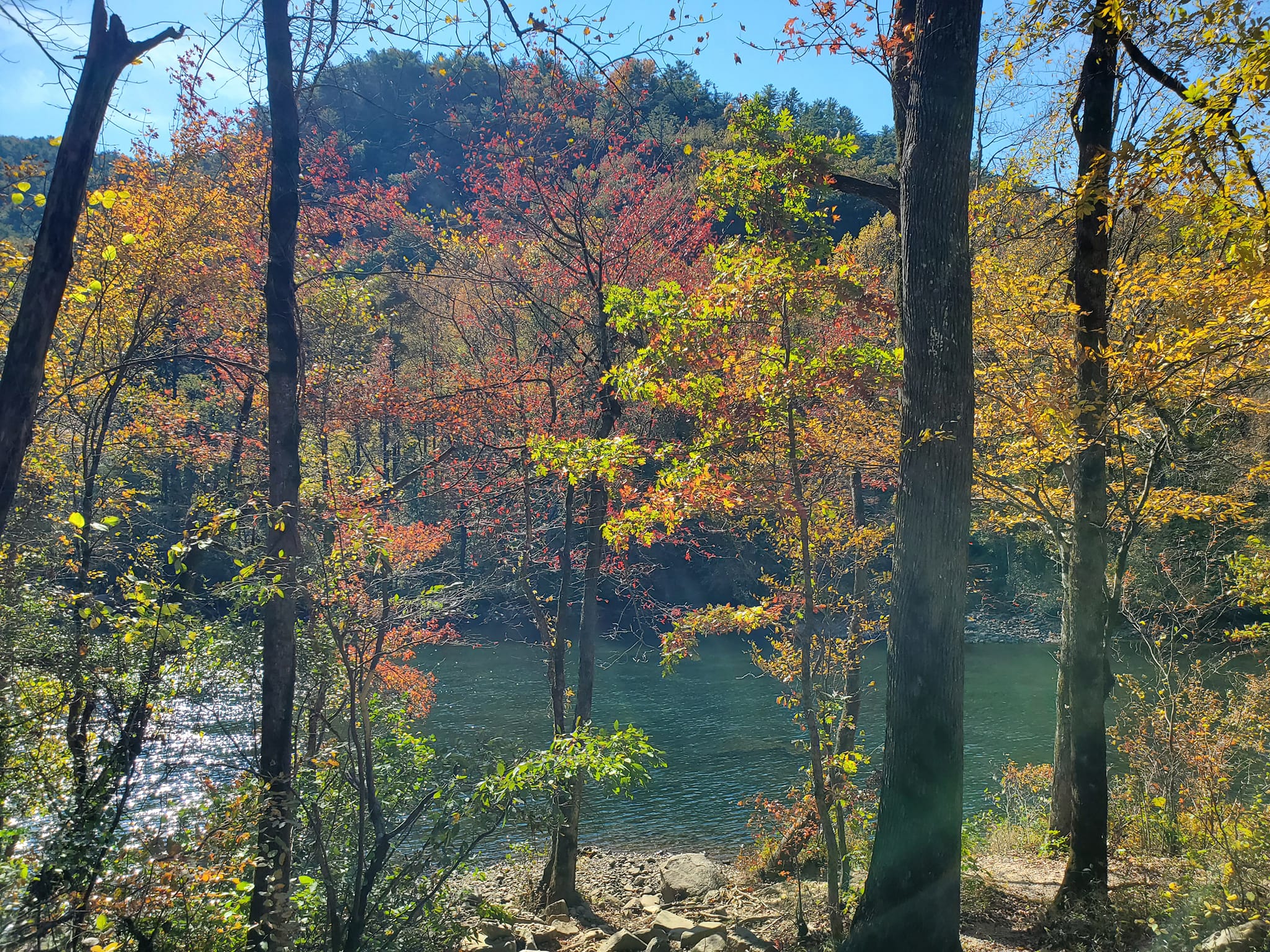
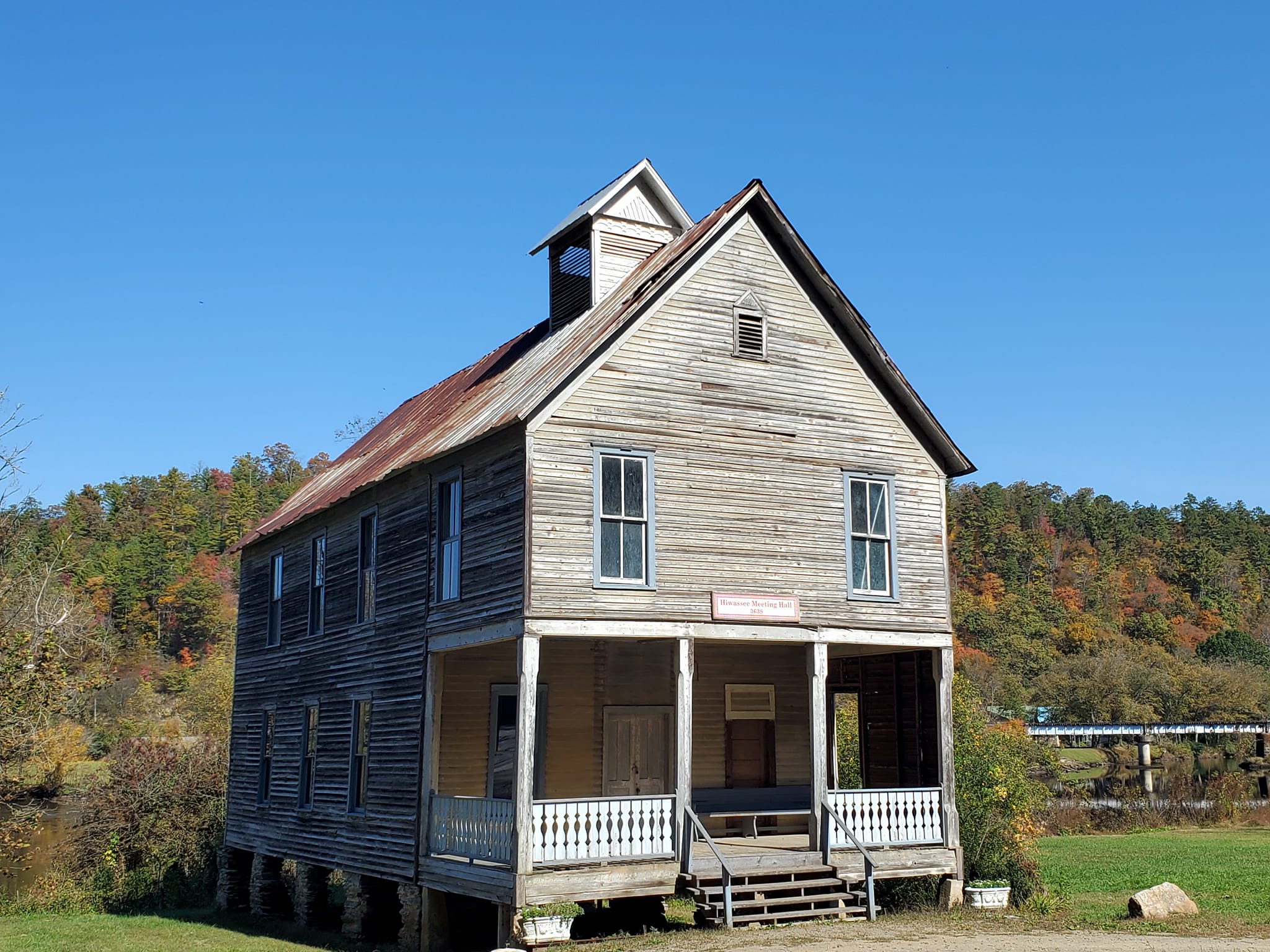
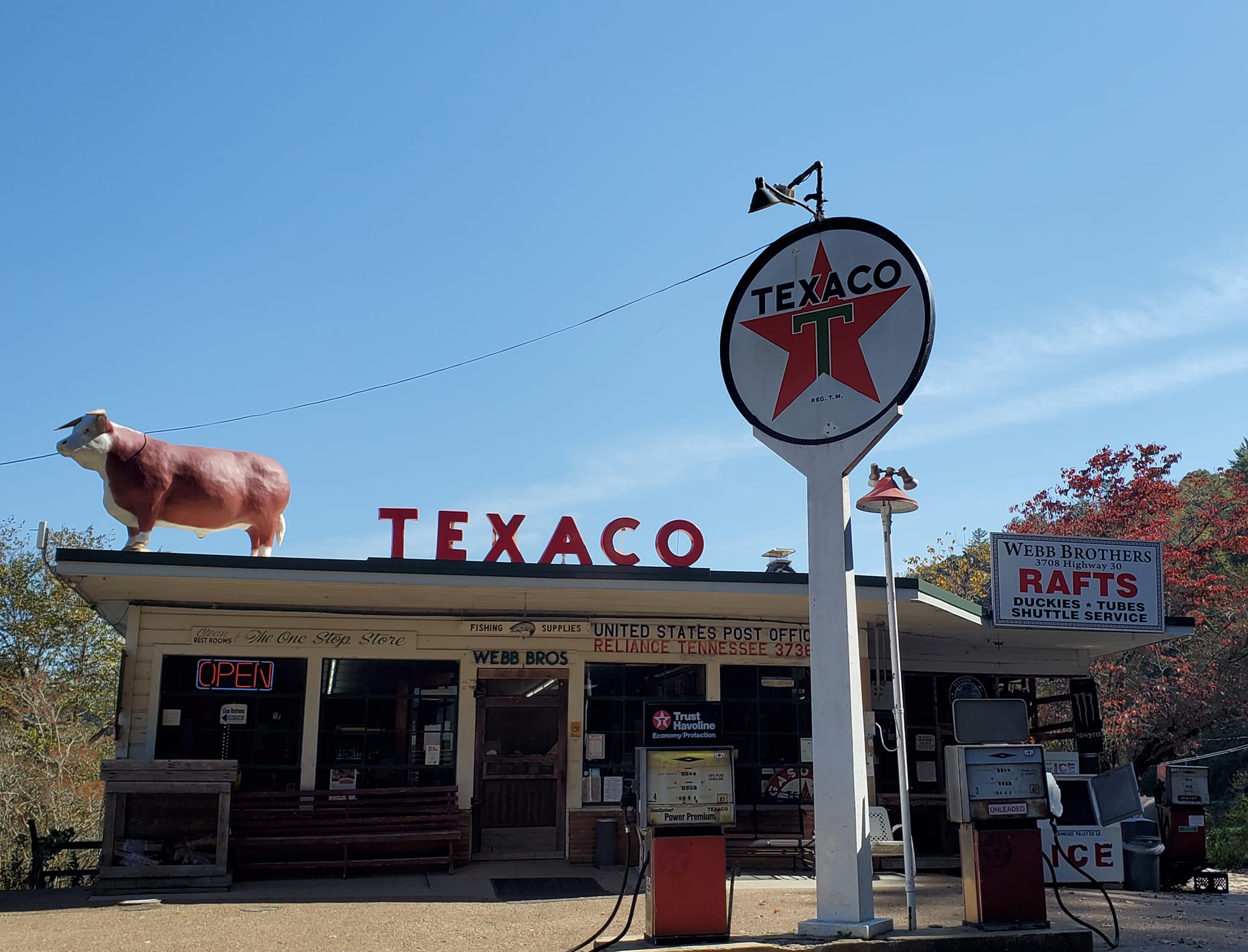
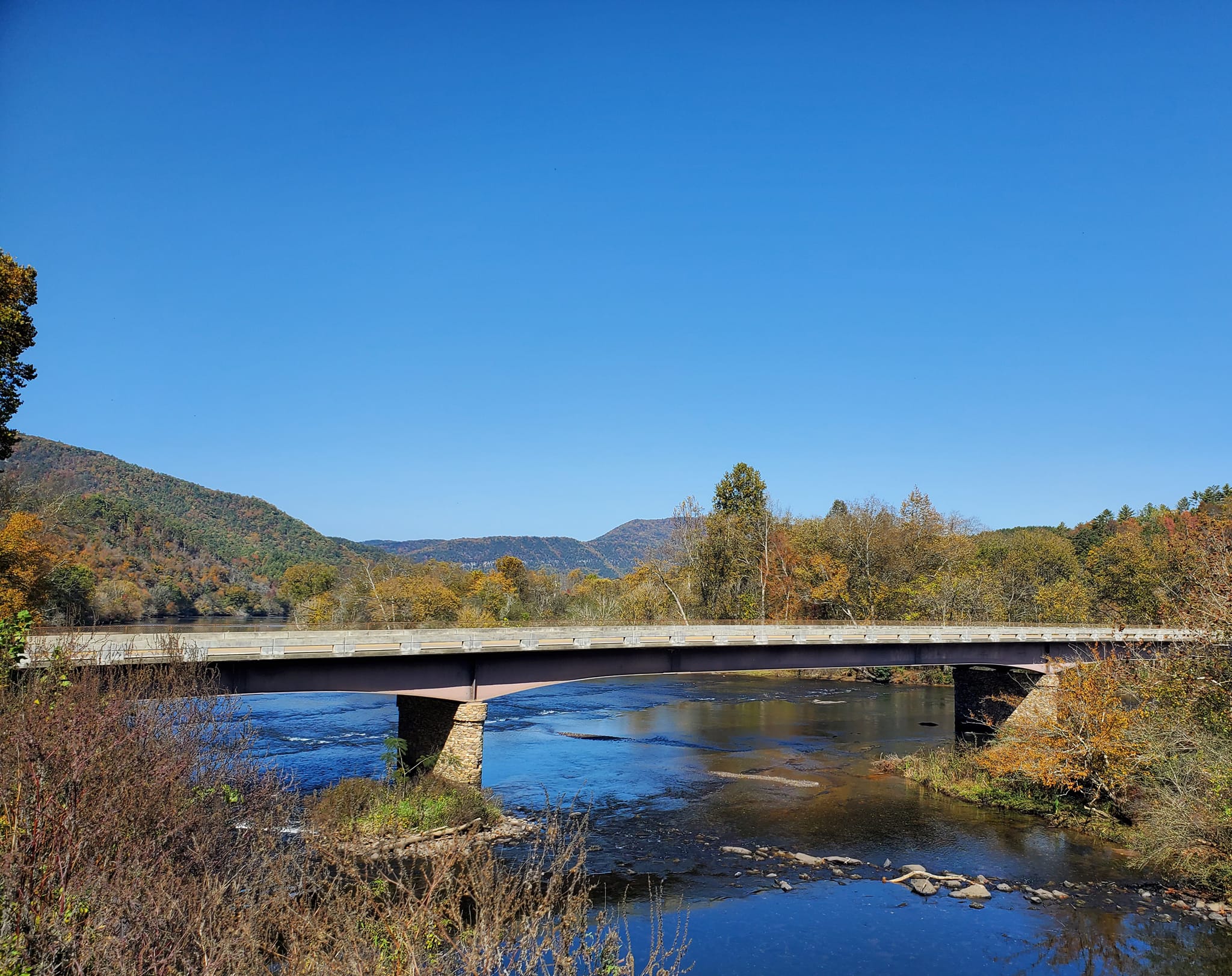
The small rural communities of Benton, Delano, and Reliance are situated in the northwestern region with Turtletown, Coker Creek, Ducktown, and Copperhill forming its eastern border.
Directly south of Copperhill and across the TN/GA state line is its twin town, McCaysville, in Fannin County.
Here is a screenshot of a Google map to help orient you. Some of the additional places seen on this map image like Apalachia [sic], Farner, and Harbuck come as a surprise to me, since there are not any signs or markers naming these communities like the ones I mentioned above.
POLK COUNTY HISTORY
Polk County was originally part of the Ocoee District of the Cherokee Territory. You can read all about how its neighbour Bradley County was once the Gateway to the Cherokee Nation, but remember it was one contiguous equally-significant territory long before county lines were drawn. Polk, Bradley, Hamilton, and part of Monroe County were all included in the Ocoee District.
The Cherokee lost their land in 1819 per the terms of the Calhoun Treaty of 1819. Polk County was founded in twenty years later in 1839, named to honour James K. Polk who was governor at the time. Within a few years, copper was found and being mined to such an extent that the region became known as the Copper Basin.
You can read more of Polk County’s history on the Polk County Historical and Genealogical Society site.
OCOEE SCENIC BYWAY
The Ocoee Scenic Byway is just one of thirteen famous byways in Tennessee, including Natchez Trace Parkway, Newfound Gap Road, Great River Road, Cherohala Skyway, East Tennessee Crossing, Woodlands Trace, Norris Freeway, Sequatchie Valley Scenic Byway, Great Smoky Mountains Byway, Tennessee River Trail Scenic Byway, and Walton Road Scenic Byway.
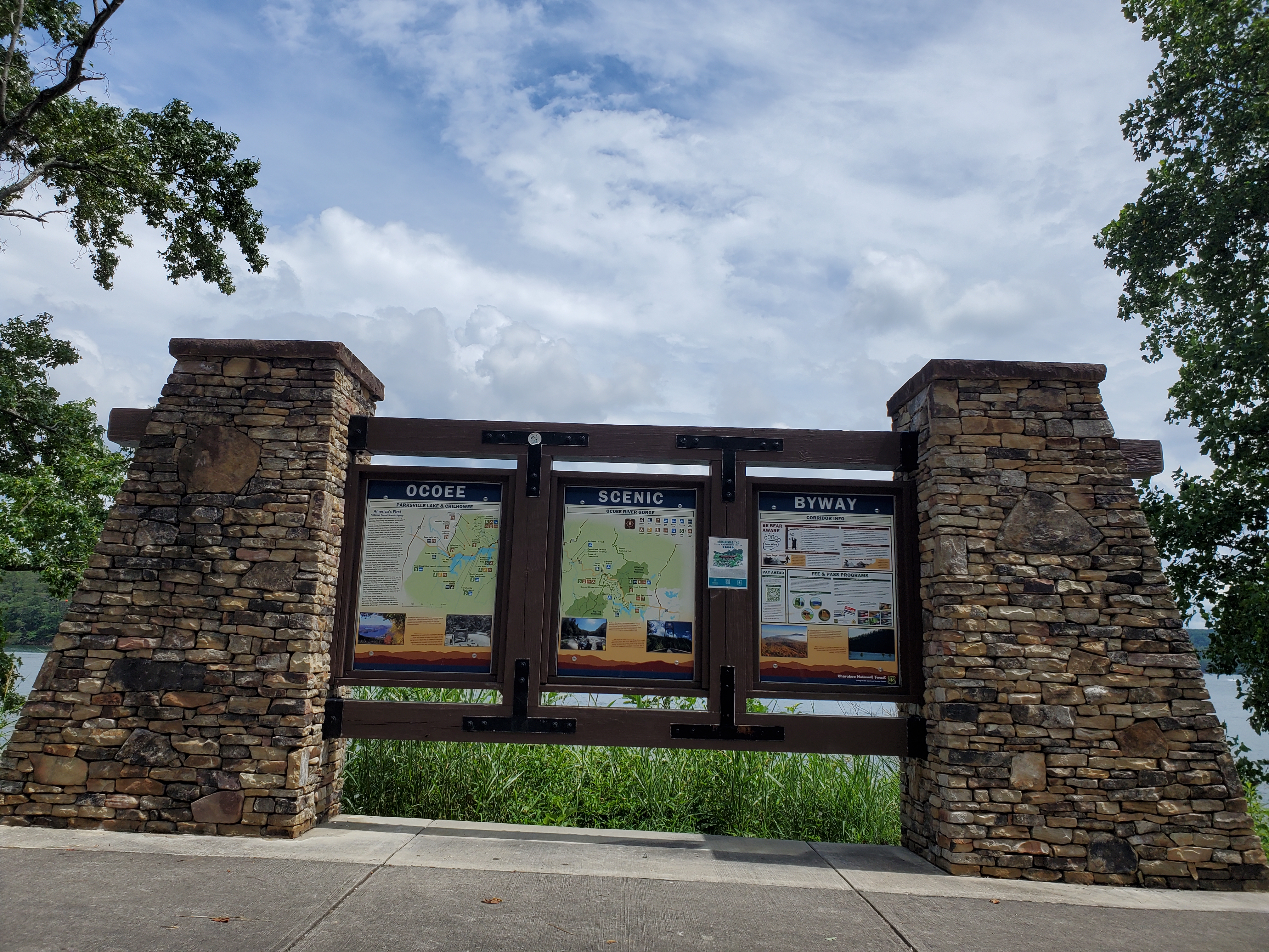
The Ocoee Scenic Byway cuts through the county below its midline, connecting Ducktown westward to Ocoee. It was the nation’s first designated National Forest Scenic Byway, so it is rather special.
The byway is also known as Highway 64, and it covers a 26-mile stretch between Cleveland and Ducktown. Some of the primary attractions along the byway are the dams, Parksville Beach, Mac Point Beach, Chilhowee Mountain, and several whitewater rafting and outdoor adventure centers. The region the Byway travels through is also sometimes called the Ocoee River Corridor.
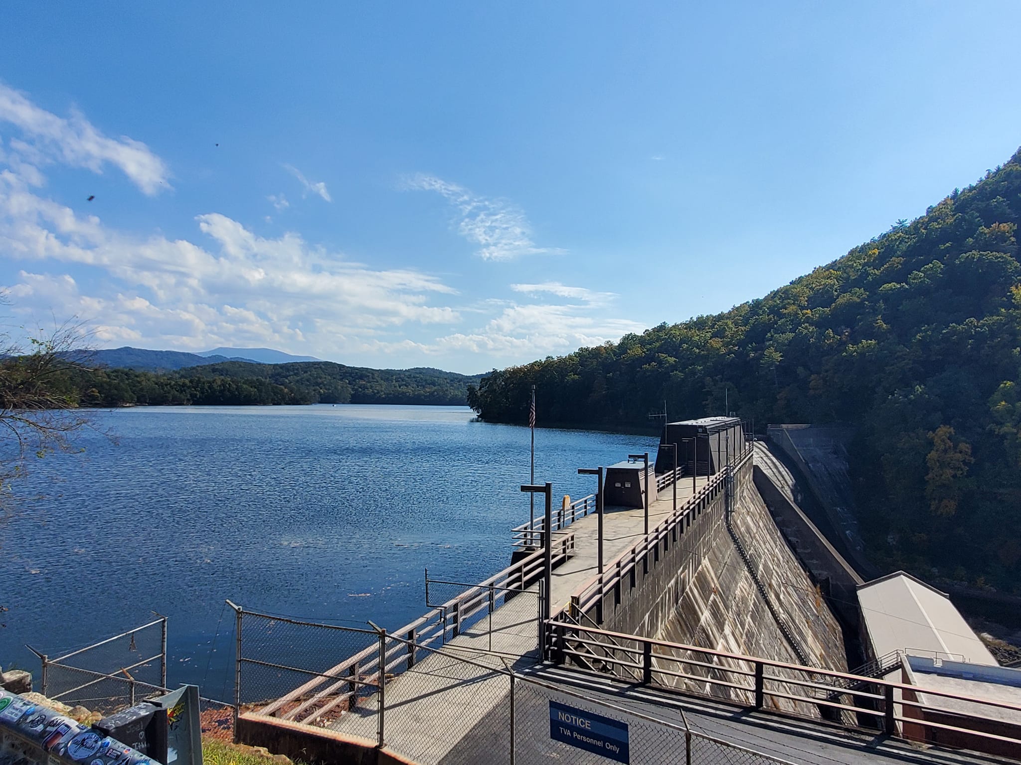
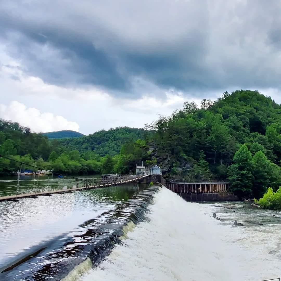
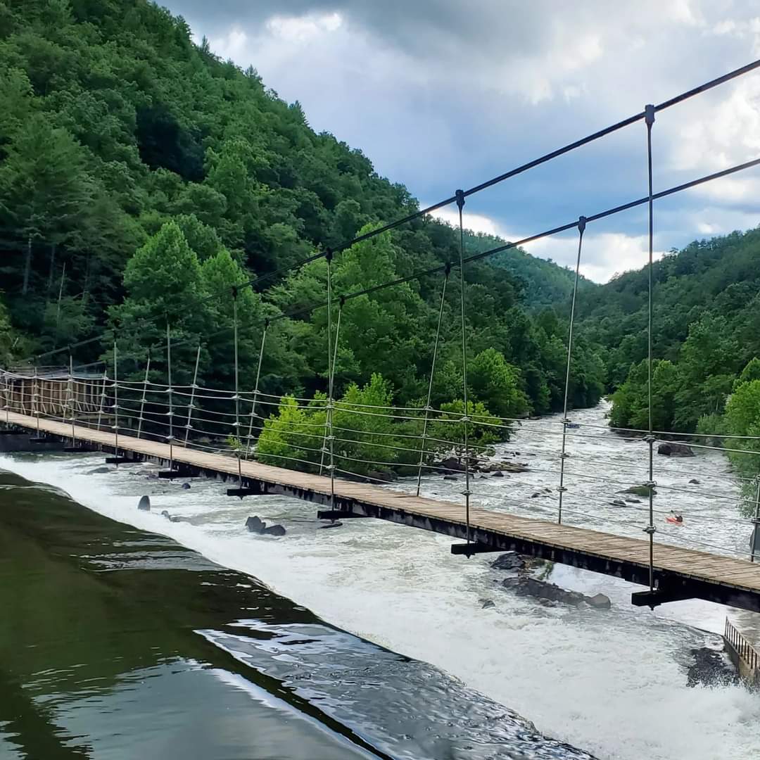
OCOEE DAM
Driving from west to east, the first and one of many stops along the Byway is the Ocoee Dam. This dam was built in the early 1900s by the East Tennessee Power Company, later bought out in 1933 by the Tennessee Valley Authority. TVA built an additional dam over the following years and a powerhouse for the Apalachia [sic] Dam, as well as an unbelievable amount of other projects you may have heard of.
Don’t ask me why they drop the second ‘p’ in Appalachia around these parts.
A couple months ago, a tragic accident occurred where a driver crashed through the barrier and plunged into the river. I was driving to meet my sister in Ducktown the next day and got caught in a traffic block for over an hour. I was stopped right at the crash site and watched while rescuers retrieved the car and the body of the deceased from the river.
What a strange and somber memory I will always have there.
I took this photo after repairs had been made to the site.
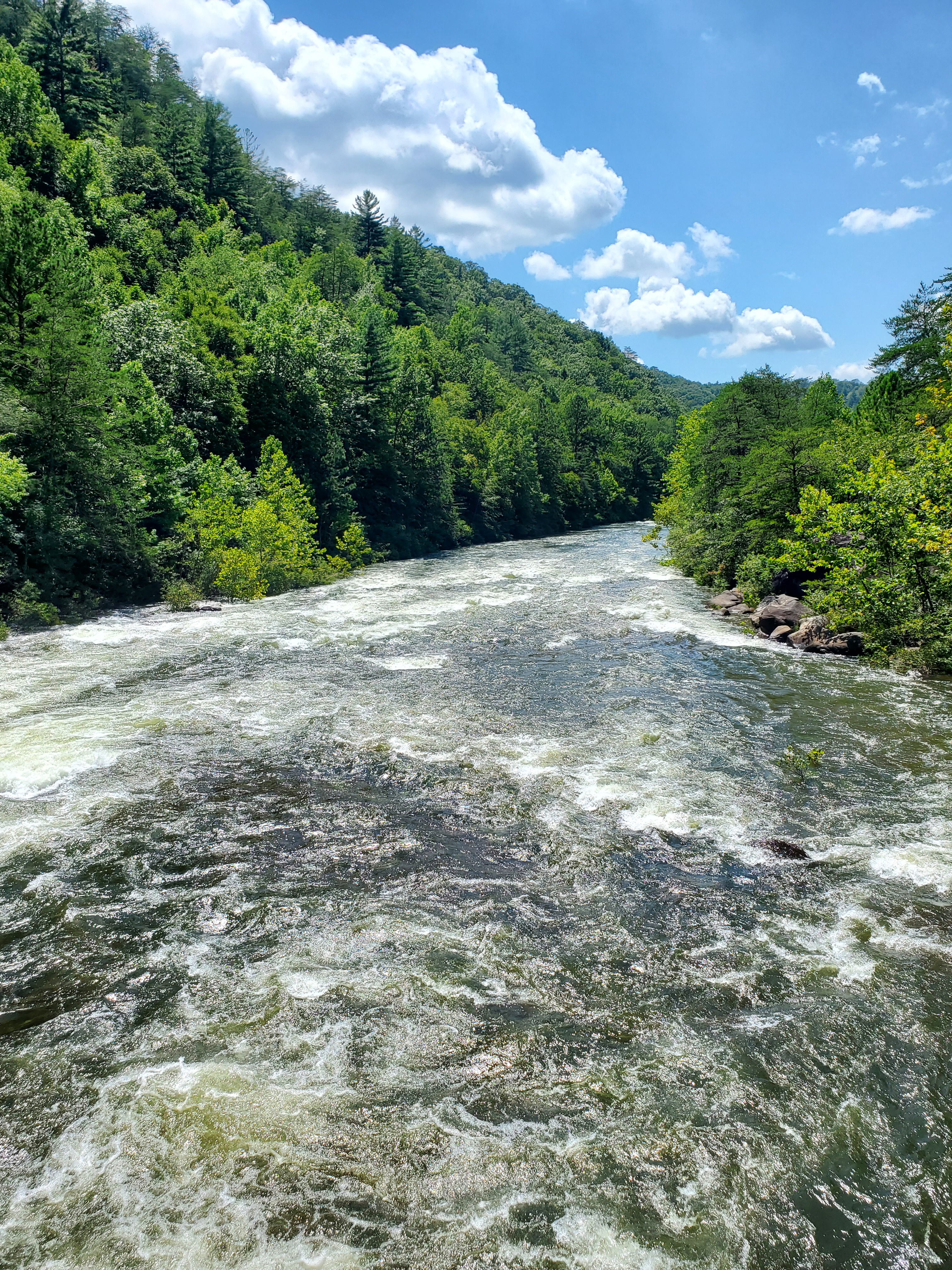
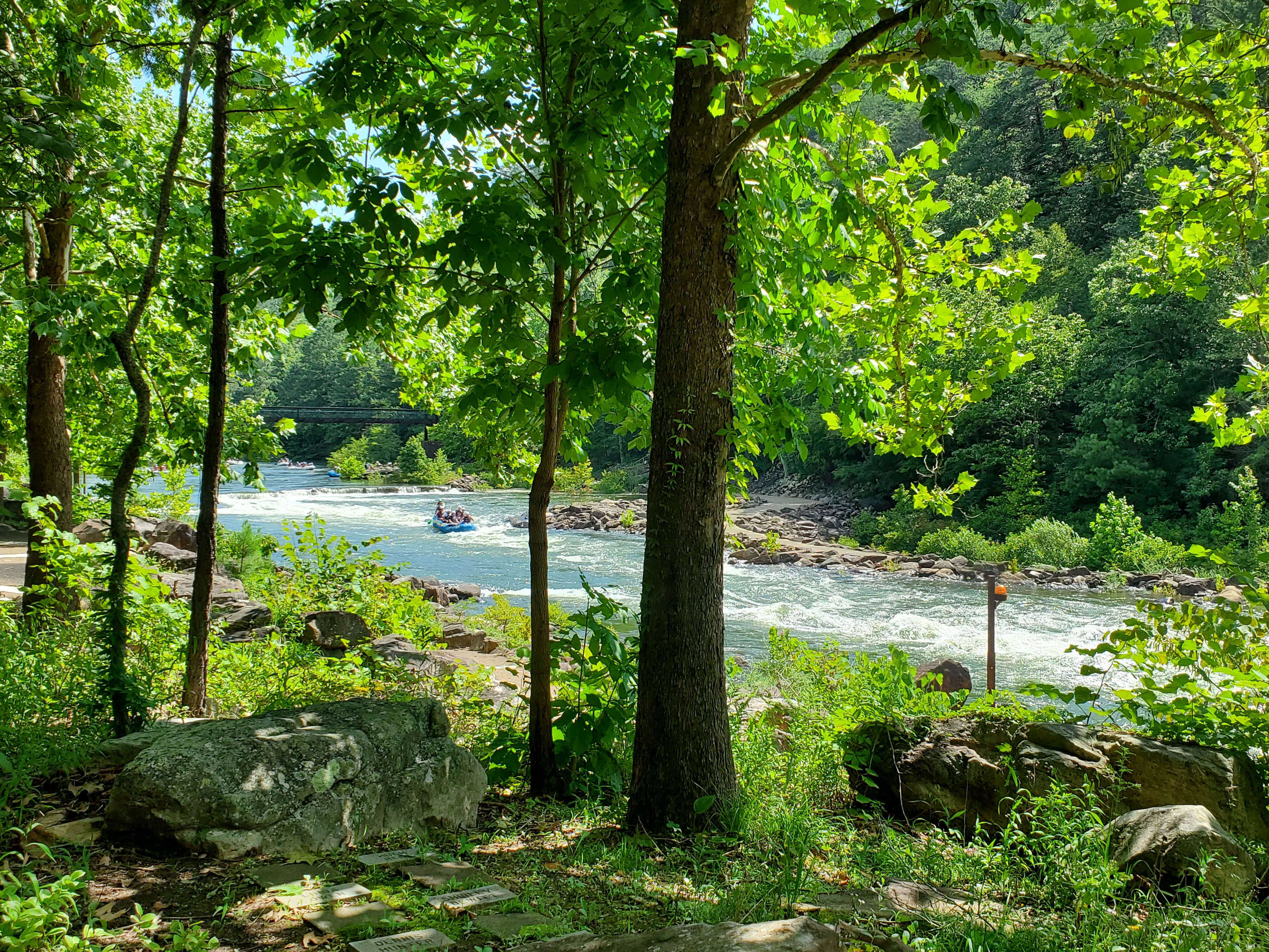
WHITEWATER RAFTING
Ocoee Country is full of options for whitewater rafting and other activities on the water. Outland Expeditions, Ocoee River Rafting, High Country Adventures, Cherokee Rafting- Ocoee River Whitewater, Ocoee Watersports, NOC Ocoee Outpost, Ocoee Outdoors, Raft One Ocoee Rafting Outfitter, Ocoee Adventure Center, and Wildwater Ocoee River Basin Canopy Tours are just some of the companies that provide these services.
I am a chicken about whitewater rafting and have not done it yet myself, so I can not tell you which company is best. Message me if you have any inside scoop or tips for a clumsy first-time rafter!
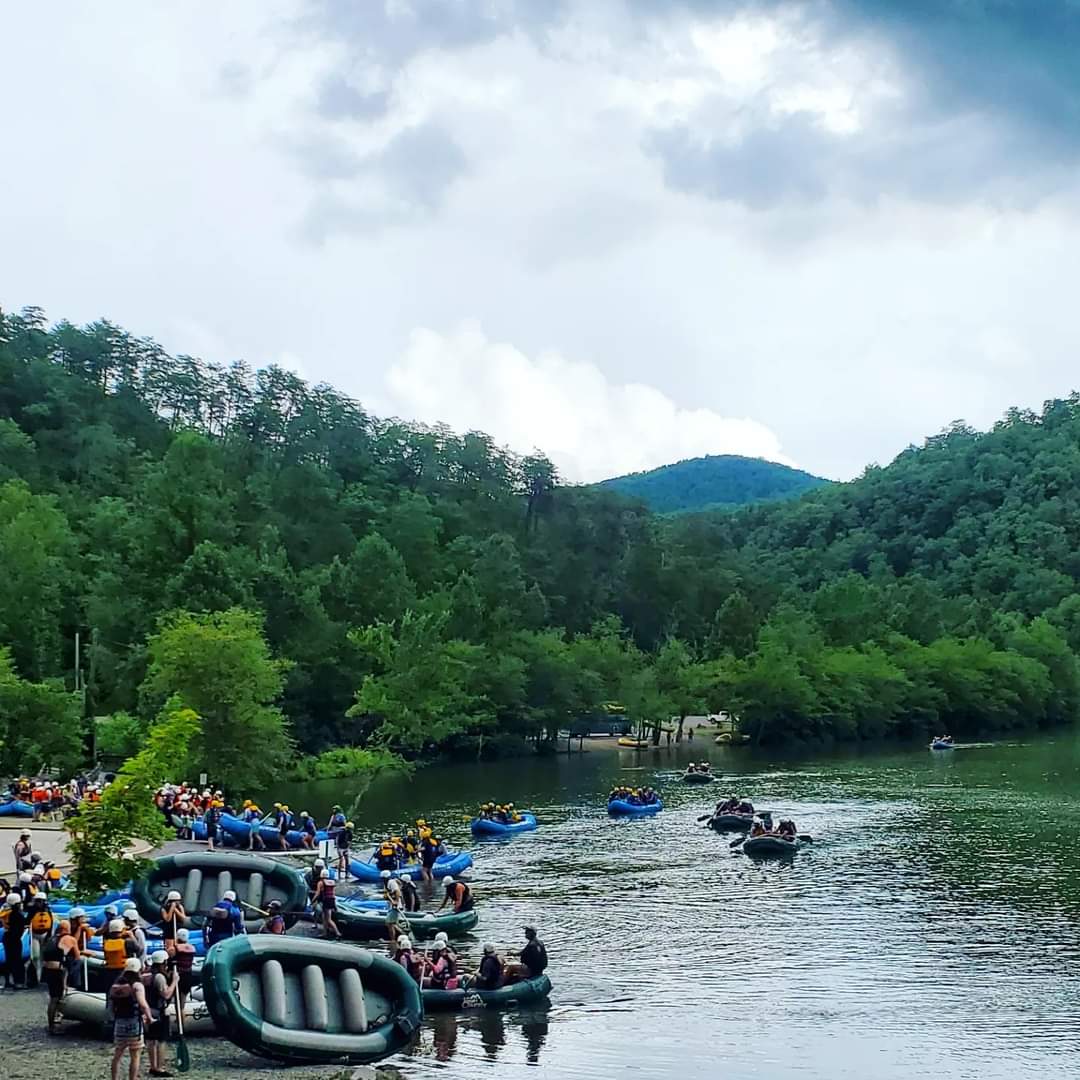
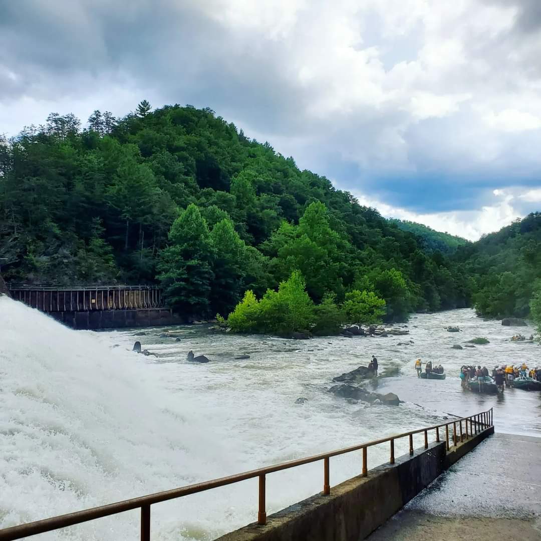
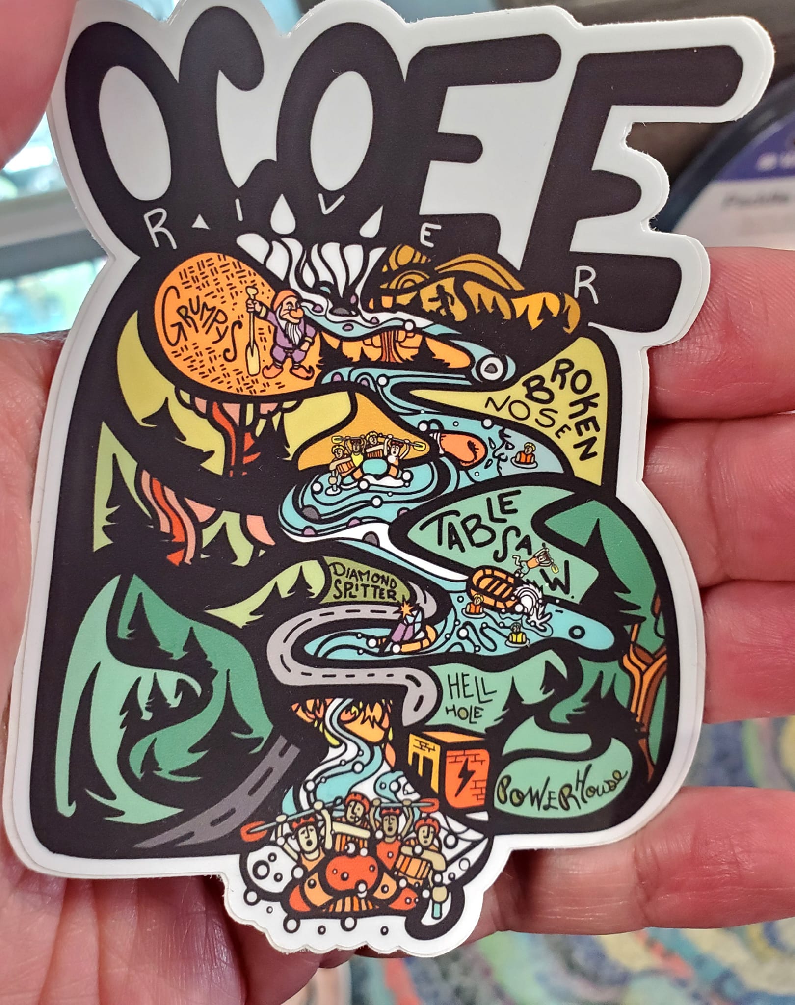
Whitewater rafting started up in the Ocoee River in the late 1970s at Dam #2 with its vertical drop.
The subsequent rapids have been given humourous names like Snow White, the Seven Dwarves, Grumpy’s Ledge, Moonshot, Broken Nose, Gonzo Shoals (after Hunter S. Thompson’s Gonzo Journalism), Double Suck, Buttcrack Rock, and Diamond Splitter (below).

Rafting season is dependent on the recreational water release schedule for the Ocoee River, which is one of the most popular whitewater rafting spots in the country.
Opening dates are typically on Saturdays and Sundays between April and September, with special releases on Memorial Day and Labor Day.
Each company has its own additional tours and activities that take place on the water on different days of the week, so check their schedules before showing up.

Rafting centers report more than quarter million visitors each season which has earned it the title as “nation’s most popular whitewater river” for over 30 years.
The nearly half-mile stretch of the Ocoee River between the Upper Olympic section and the Powerhouse holds some of most difficult rapids in Class III and Class IV.
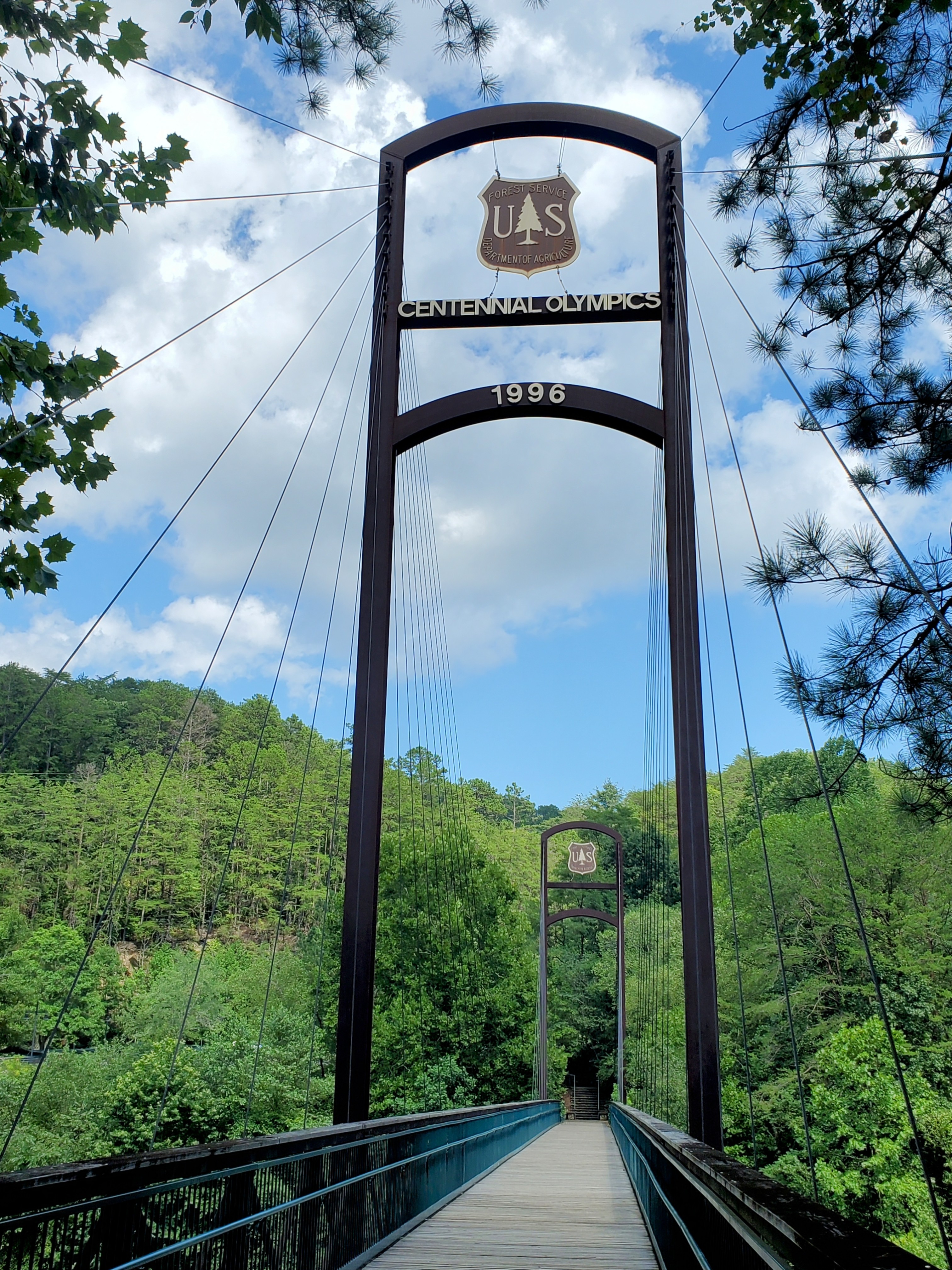
In 1996, the Ocoee Country hosted the whitewater athletes for the summer Olympics. Most of the bustle was around the former Ocoee Whitewater Center building on the eastern end of the Byway.

Real and concrete boulders were dropped into the river to line both sides, narrowing its width from 200 down to 70 feet wide.

This also made the current stronger and more direct, which aided its success as a slalom course. I just recently learned that slalom is what the call the curving and zig zagging of a course, typically accompanied by the flags or other markers you can still see on display today.

Ocoee River still holds the honour of being the only in-river whitewater course ever to be used for the Olympic Games.

In 2022, a fire destroyed the Ocoee Whitewater Center which had been serving as the region’s Visitor Center since the Olympics.
The site still sits vacant and for the life of me I do not understand why the county has no plans to rebuild such a notorious center when its history is what made the Ocoee so popular to begin with.
You can visit the Fire Tower along the river to learn more about the fire, how it spread, and what caused it.

Near the Fire Tower is a trail of memorial plaques that honours those who worked and volunteered at the Center.


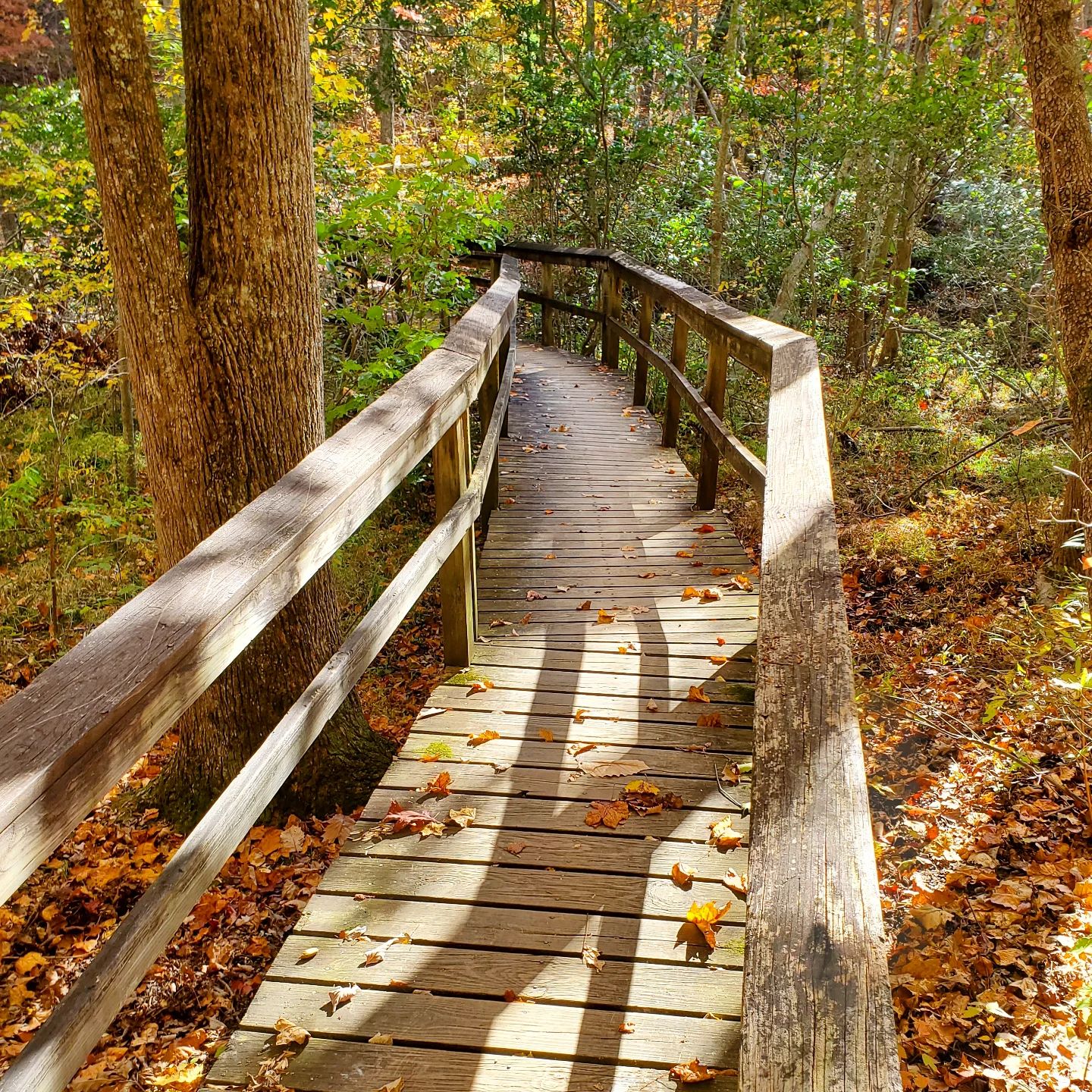
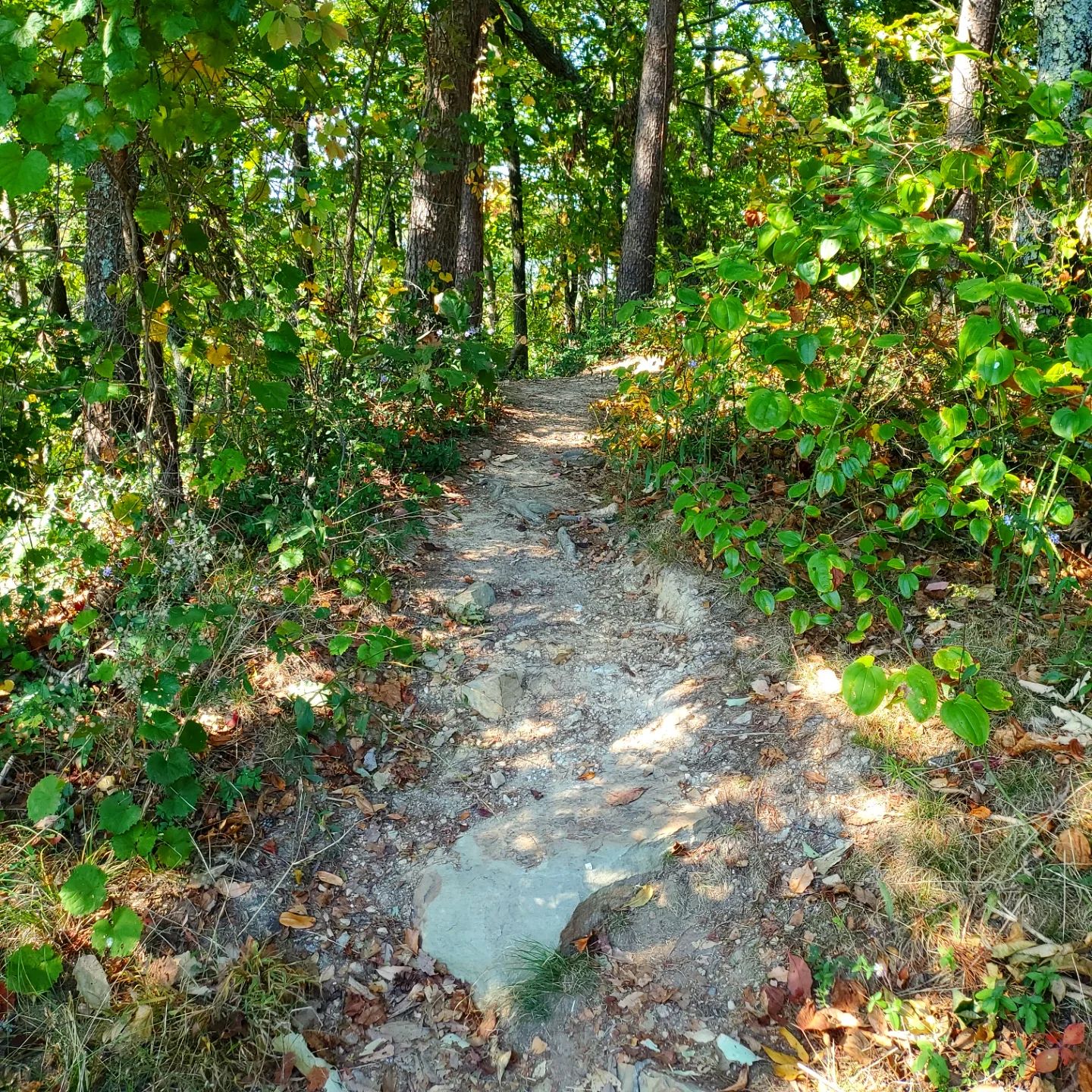
The Blue Hole & Trail is a treasured spot for picnics and walking through nature.

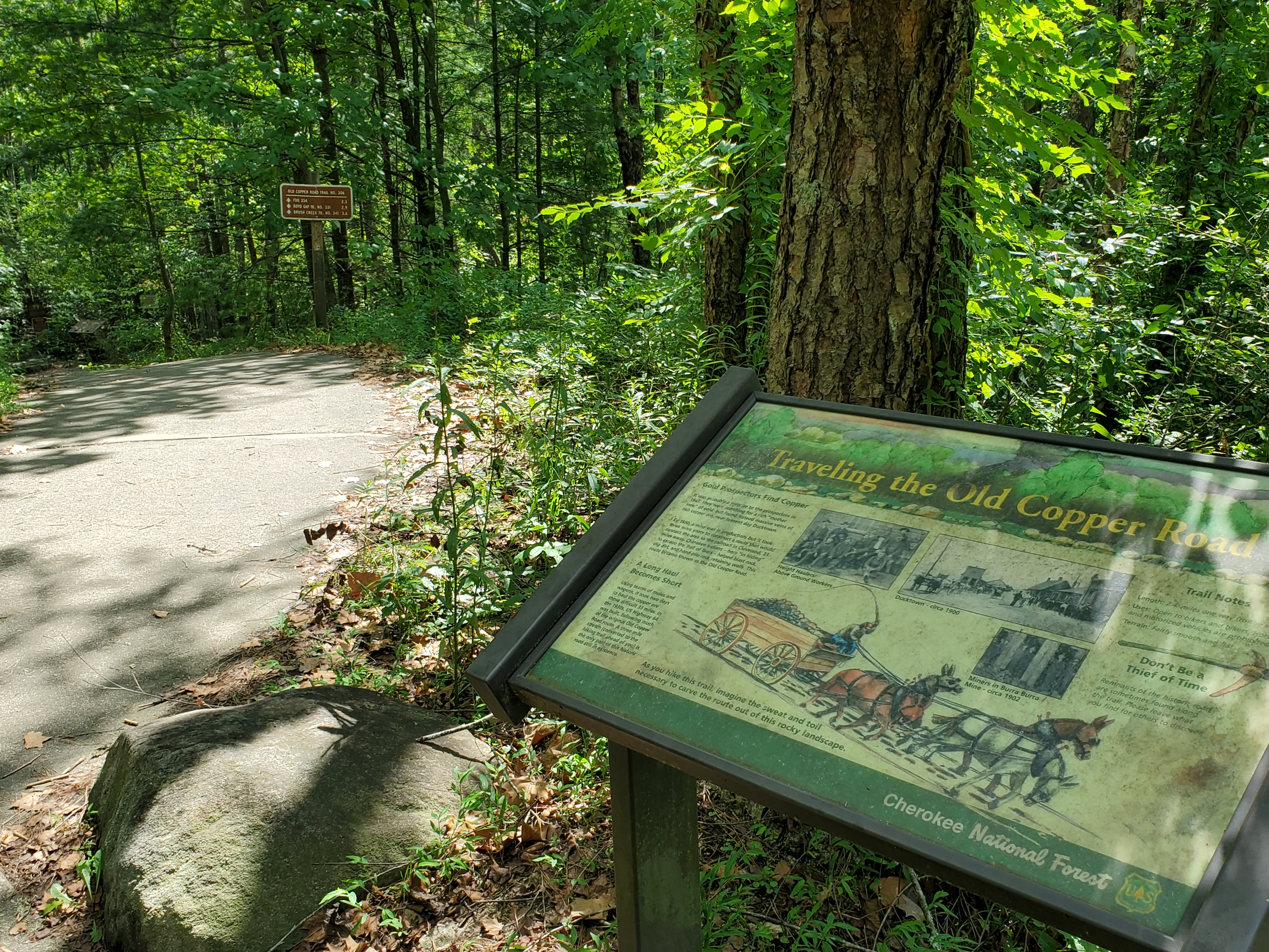
Both of these trailheads are close to the Fire Tower.

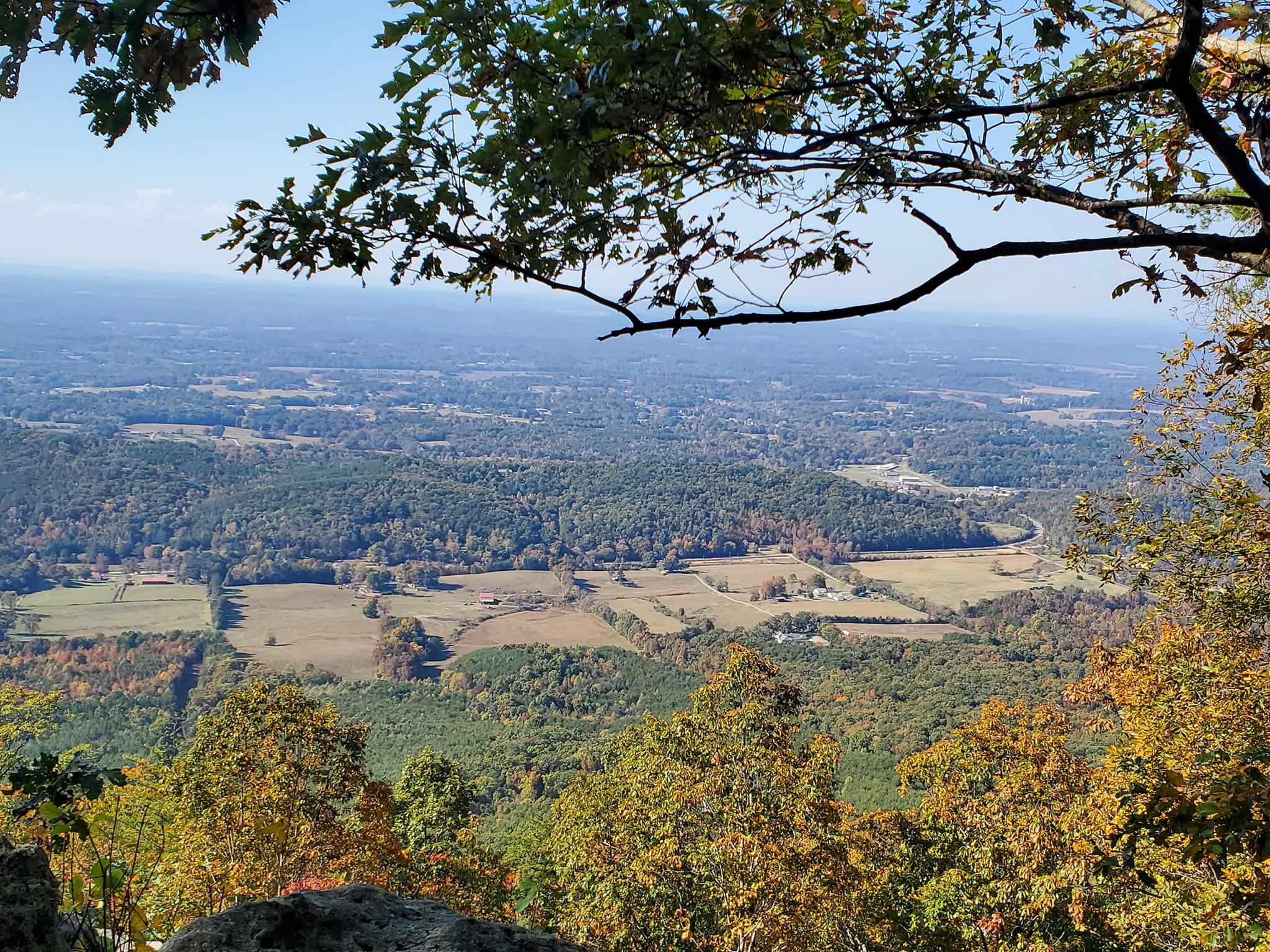
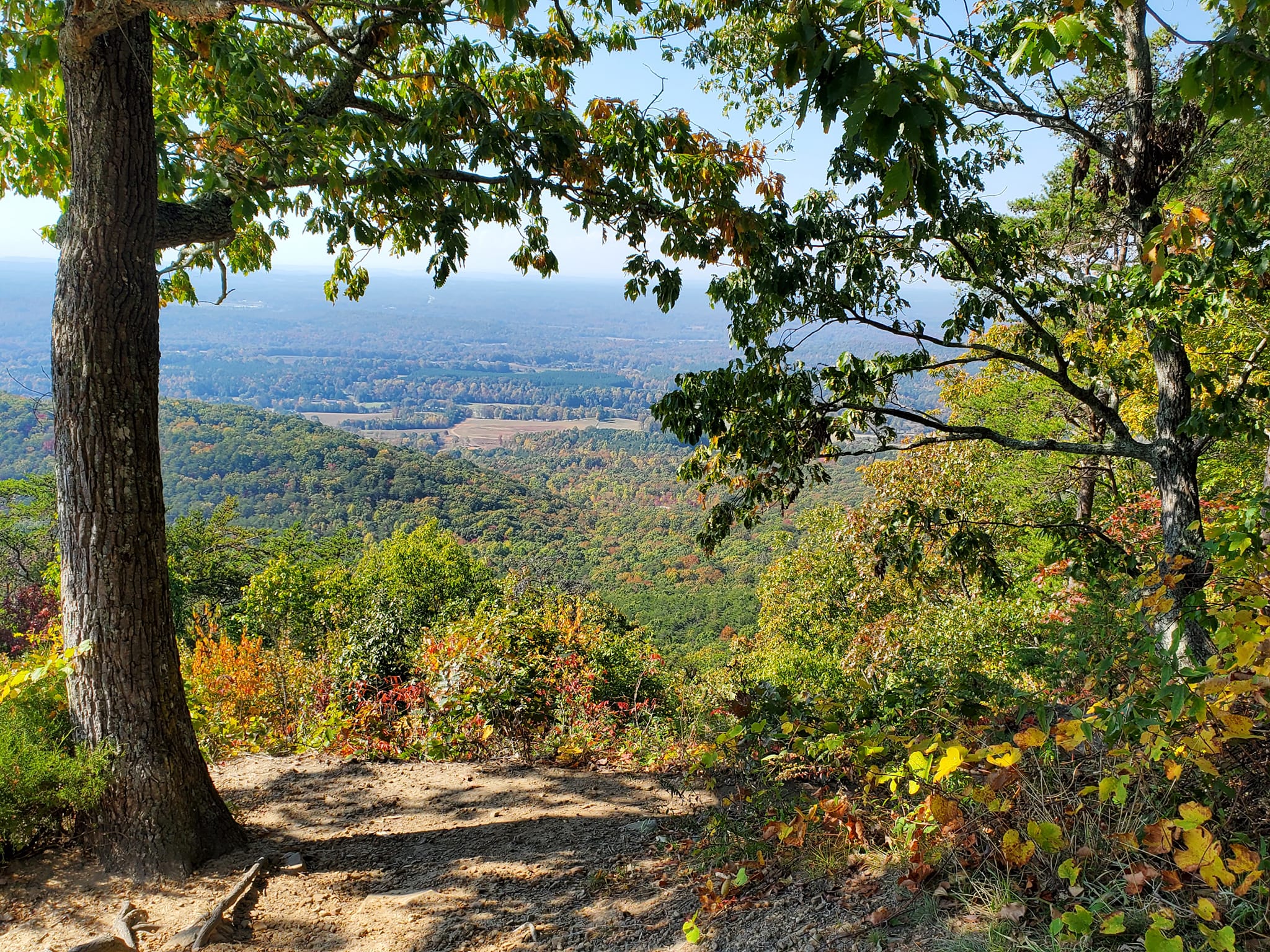
CHILHOWEE MOUNTAIN
Back on the road, follow the Ocoee Scenic Byway to Forest Service Rd. 77, the turn for Chilhowee Mountain and Chilhowee Recreation Area.
This seven-mile paved road takes you on a scenic journey up Chilhowee Mountain and to several gorgeous overlooks like Sugarloaf Mountain Overlook and Gazebo Overlook.
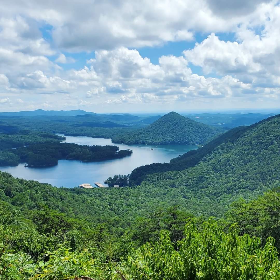
I prefer the second one, as it has a slightly more natural angle without all the docks below.
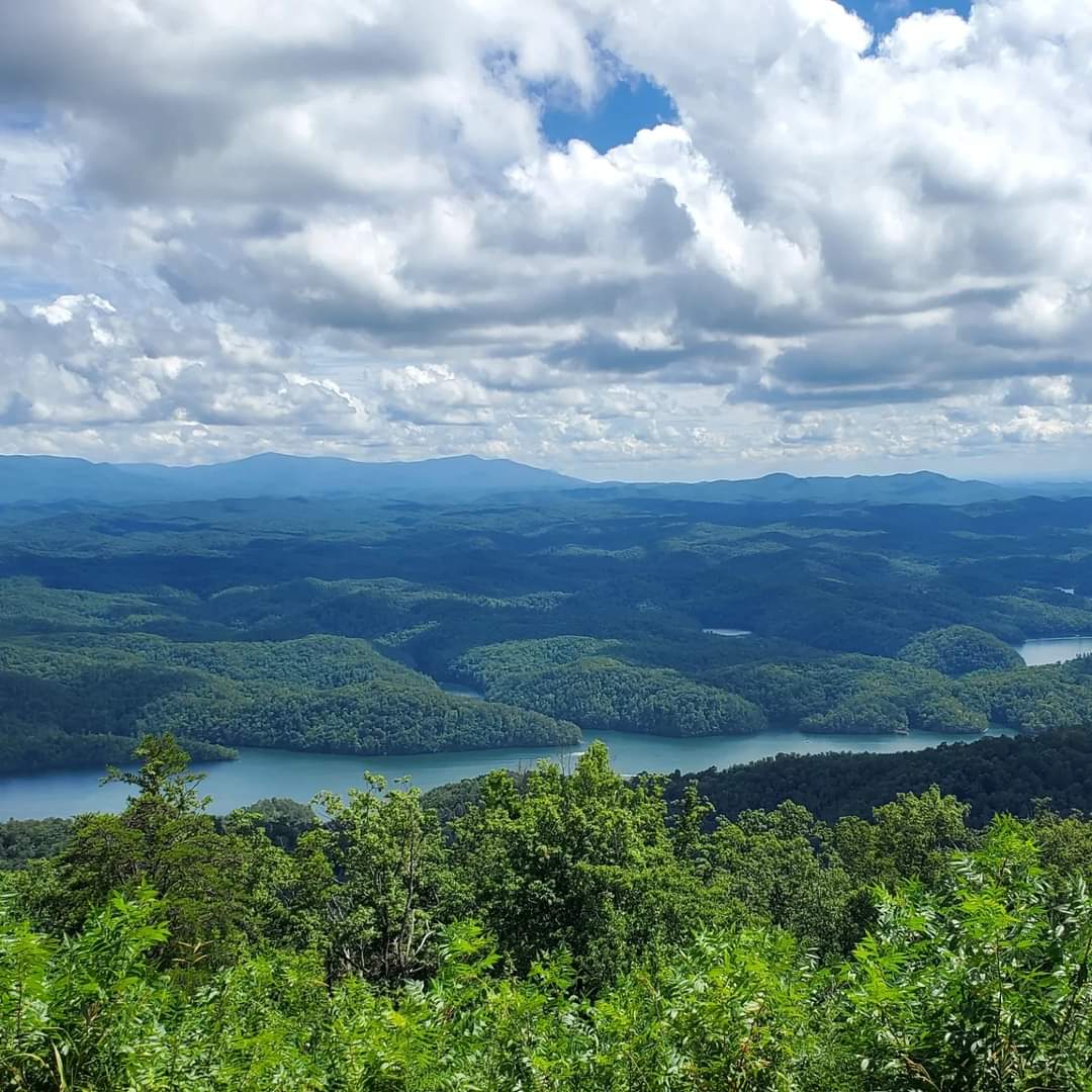
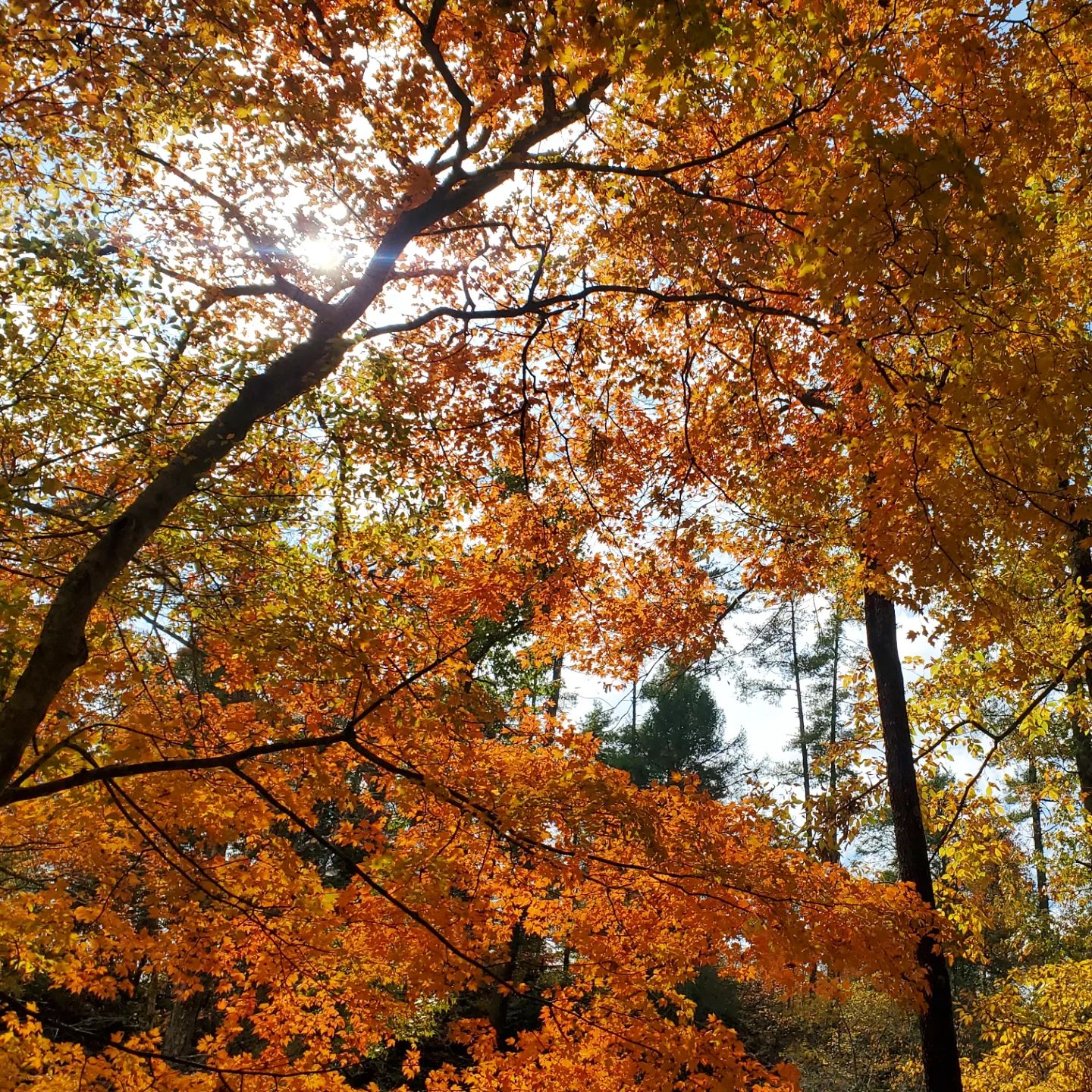
In the fall, the changing colours of the leaves are amazing.
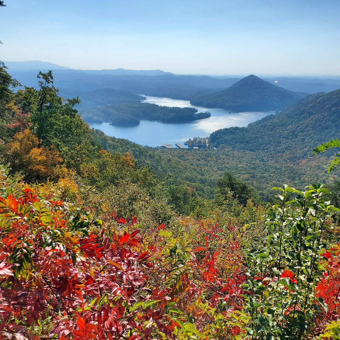
The Gazebo Overlook is equally stunning.

Follow the road to the very top of the mountain to the campground and the man-made McKamy Lake.
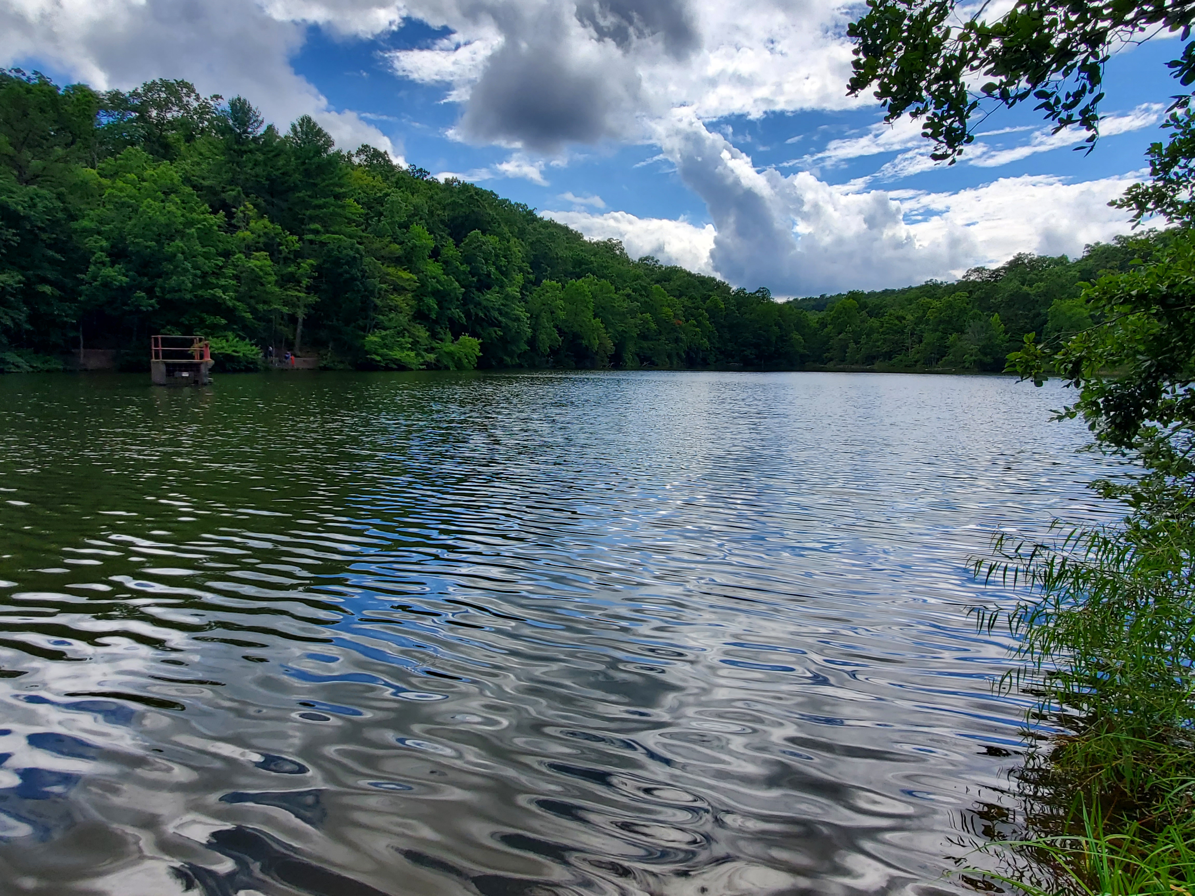
You read that right. There is a lake… on top of a mountain.
Just get there, already.

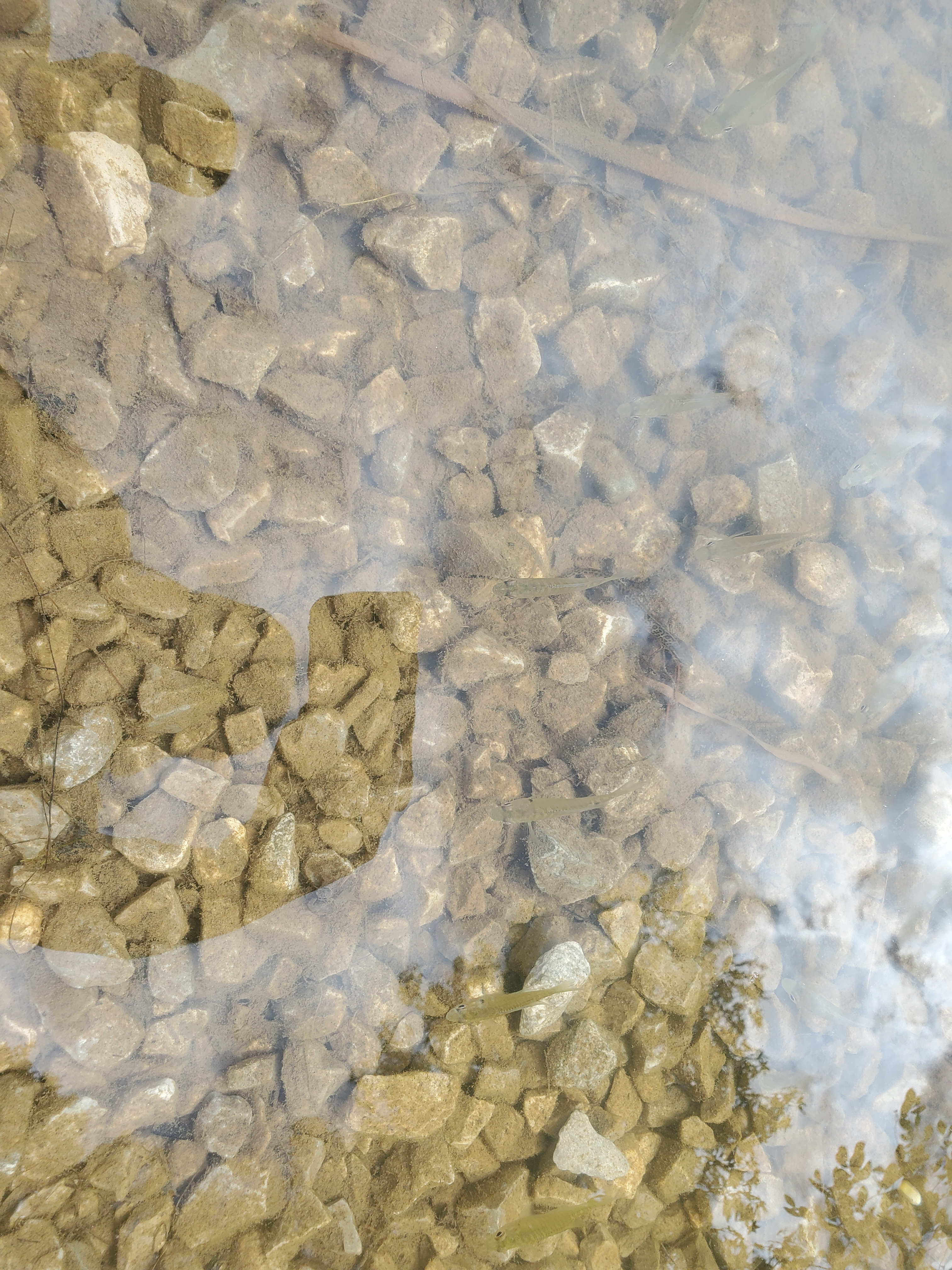
McKamey Lake is a seven-acre lake built by the CCC between the 1930s and 1940s and guests enjoy swimming, fishing, canoeing, and having picnics. You can also hike the Chilhowee Lake Trail that starts right along the water.
We enjoyed checking out the campsites and trails on the other side of lake also.
I spotted a cute salamander and some cool fish in less than a minute after walking out to the water’s edge.
Benton Falls Trailhead is another popular attraction up on Chilhowee Mountain.
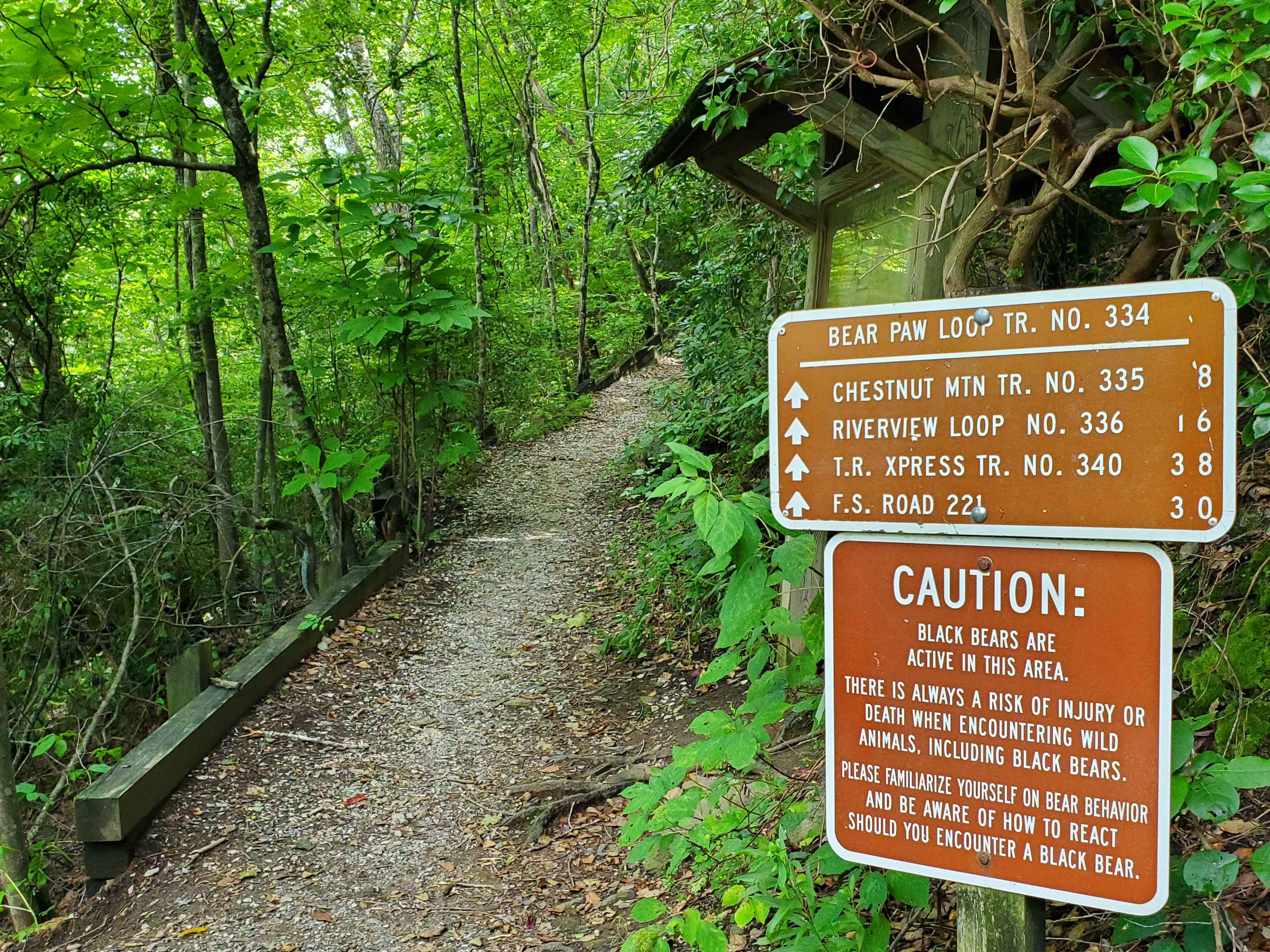
OTHER OCOEE COUNTRY ACTIVITES
If you are not into whitewater rafting but still love chilling by the water and being out in nature, there is so much to do and see along the Ocoee Scenic Byway and the rest of Ocoee Country.

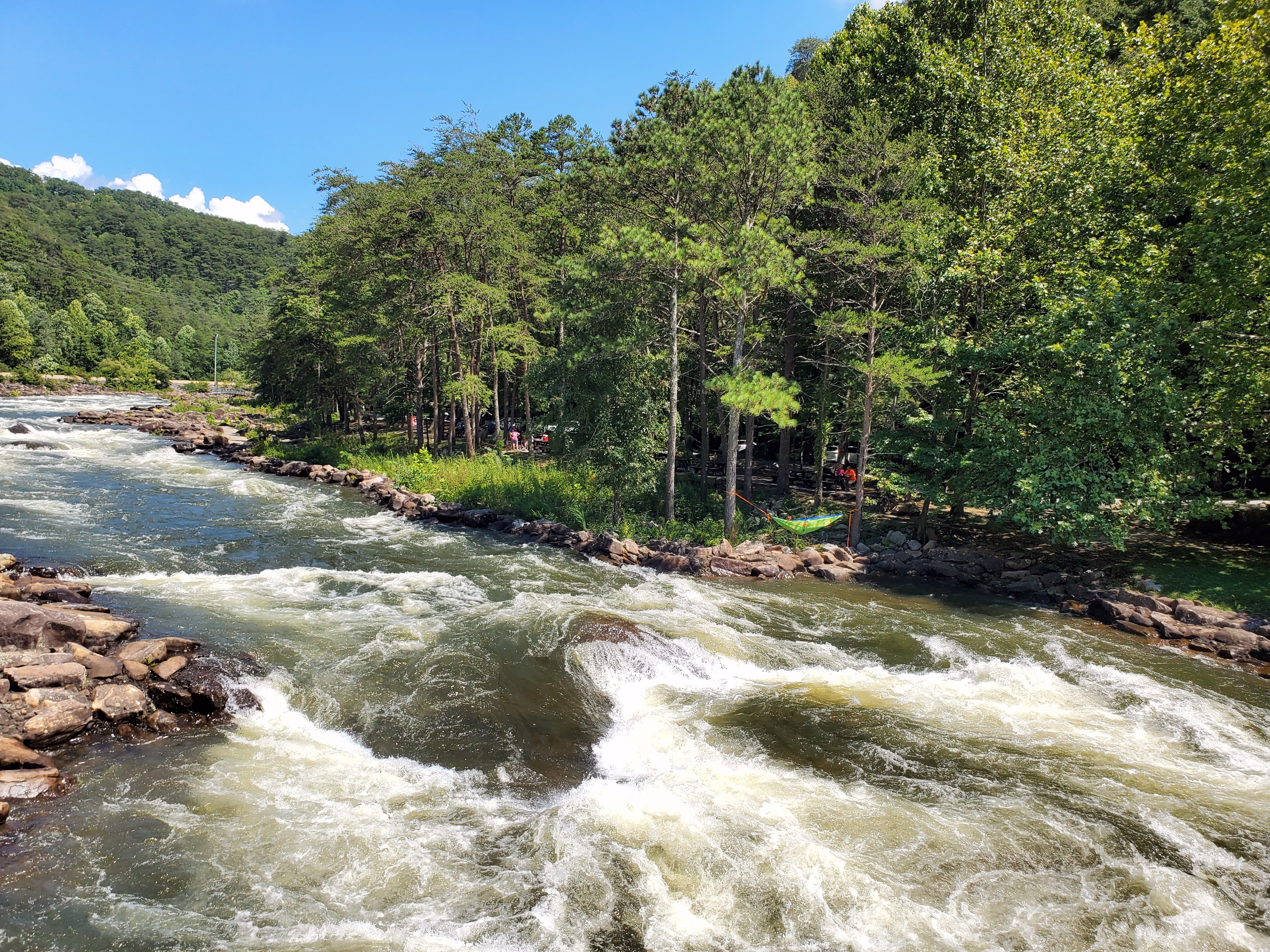
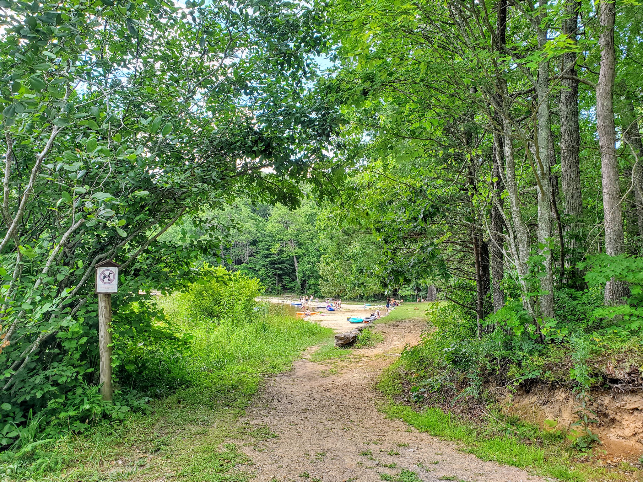
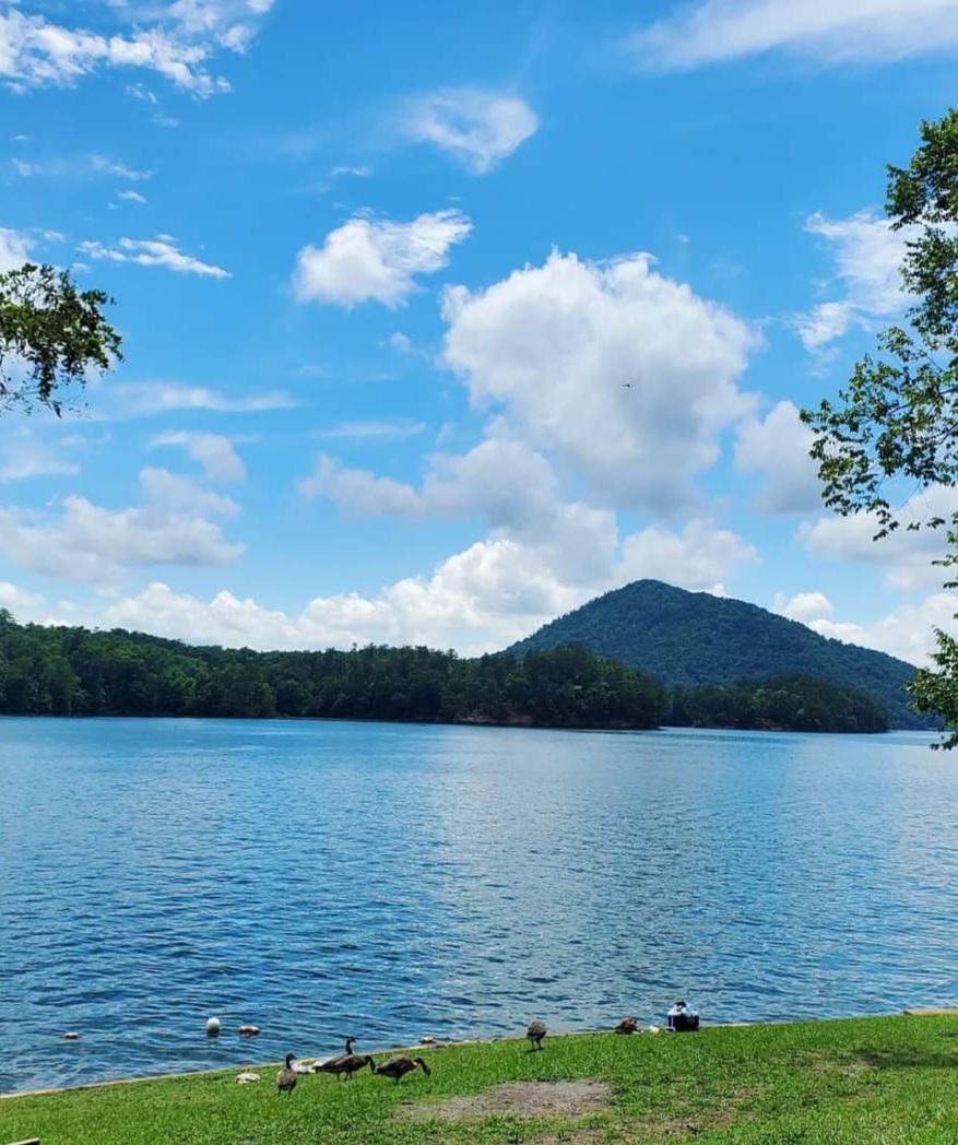
PARKSVILLE LAKE & MAC POINT BEACH
Parksville Beach and Mac Point Beach are situated along Parksville Lake, all along the Byway. Parksville Lake is sometimes called Lake Ocoee, and it is the oldest man-made lake in Cherokee National Forest.
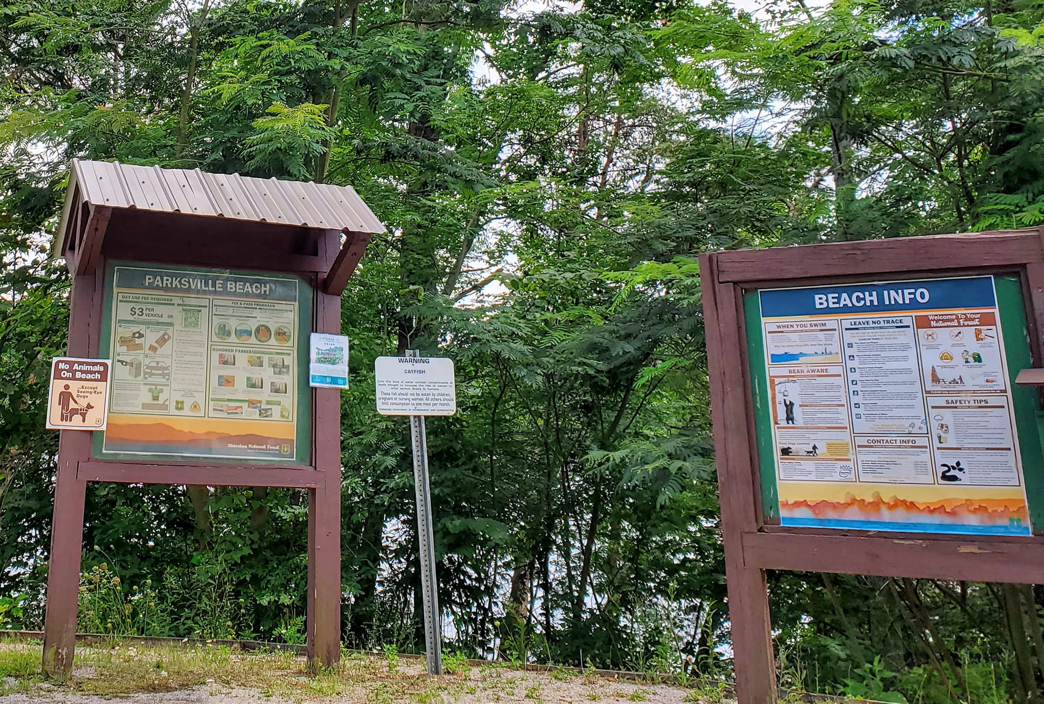
The Tennessee Rural Electric Company, later bought out by TVA, created it in 1910 for leisure, small boats like pontoons and kayaks, and low-key beach activity. It remains as such.
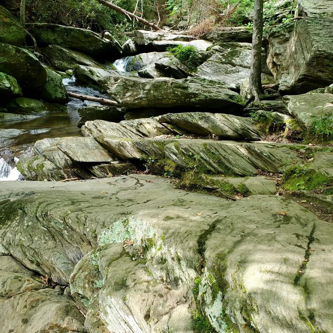
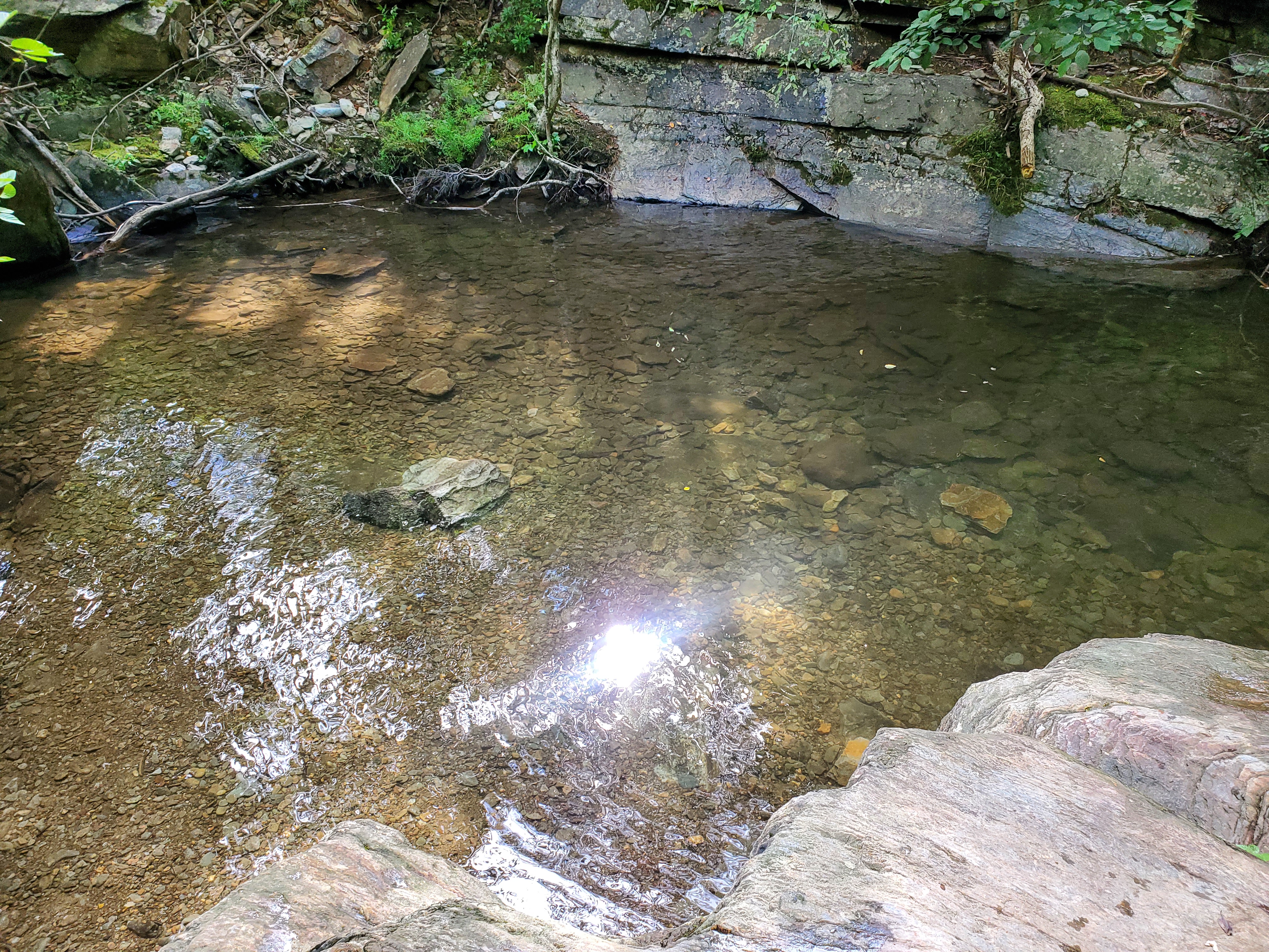
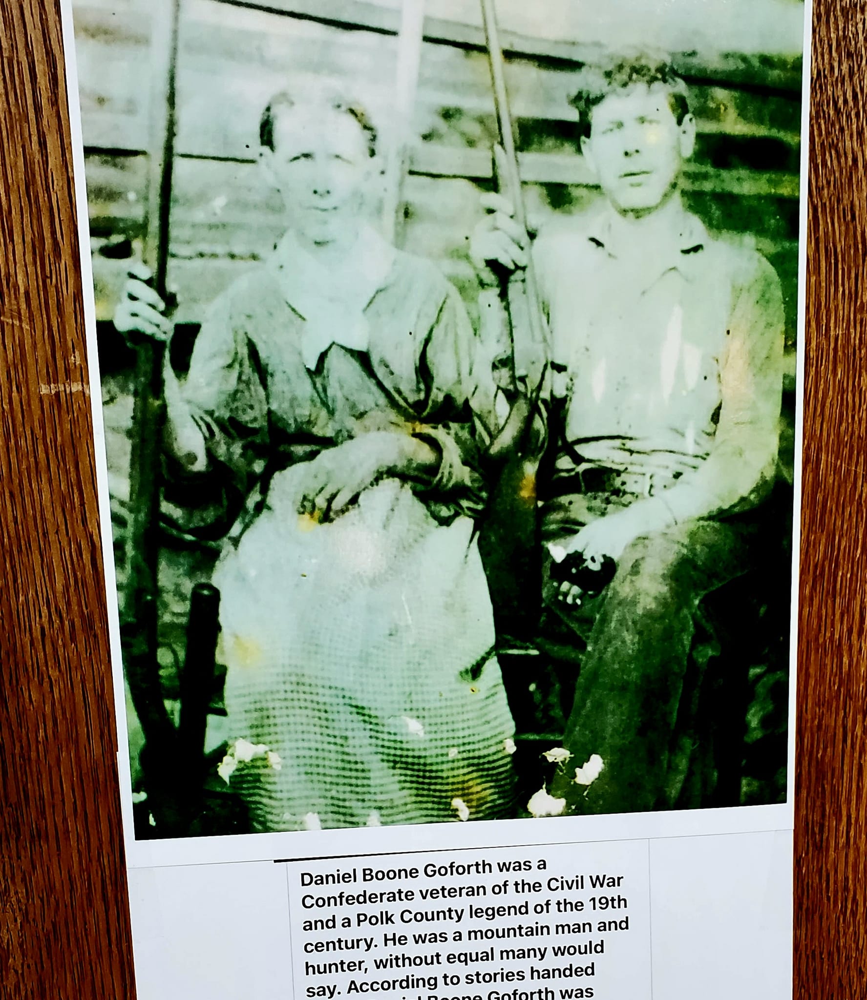
GOFORTH CREEK
Goforth is the name of the tiny community and its creek, wading pool, waterfall, and mile-long trail that goes up the mountain along all of it.
This is a well-known lucky spot for birdwatchers, with just as much of a rep for becoming a copperhead den at night. What a wild place.
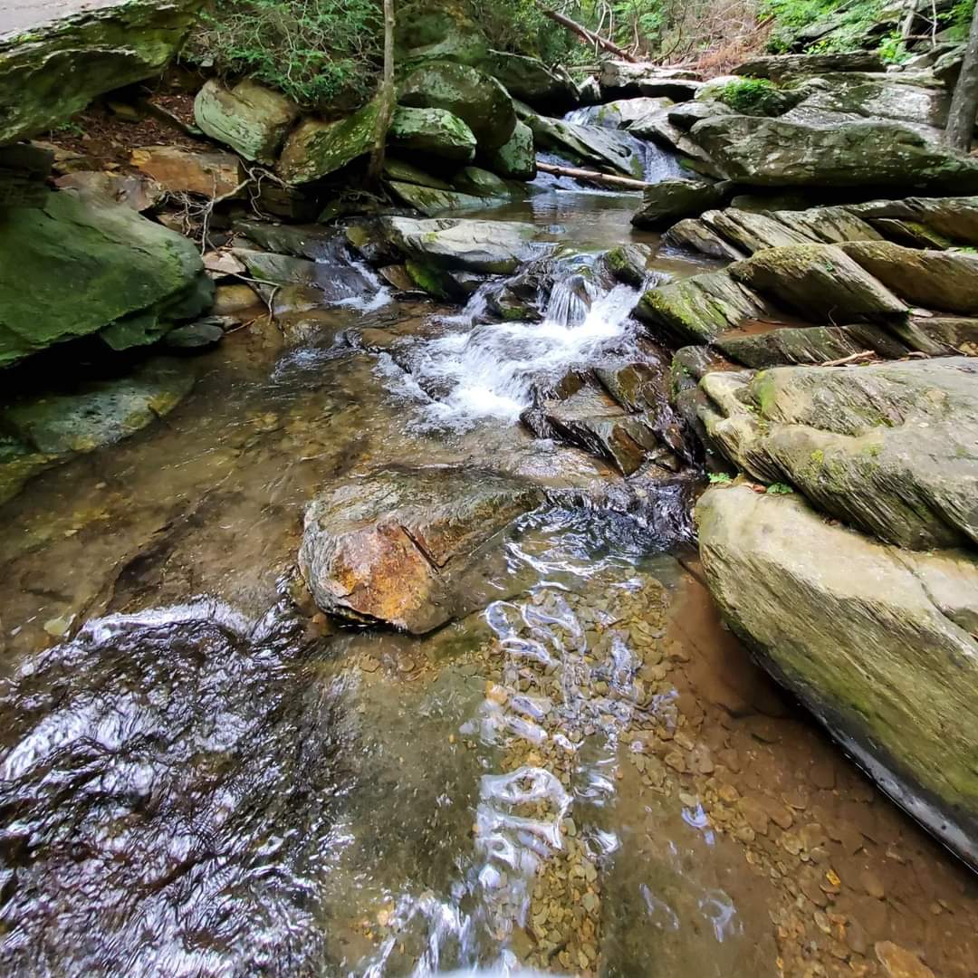
Pull off at the sign the says Goforth Creek into a small parking area.
When the waterfall is to your right and the wading pool directly in front of you, you can see where the water flows under the main road and into the river. This area is often full of people loading in kayaks, canoes, and paddle boards.
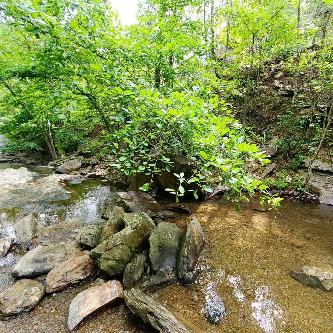
I could not resist kicking off my shoes, hiking up my dress, and wading through the cold, crystal clear water on a hot day.
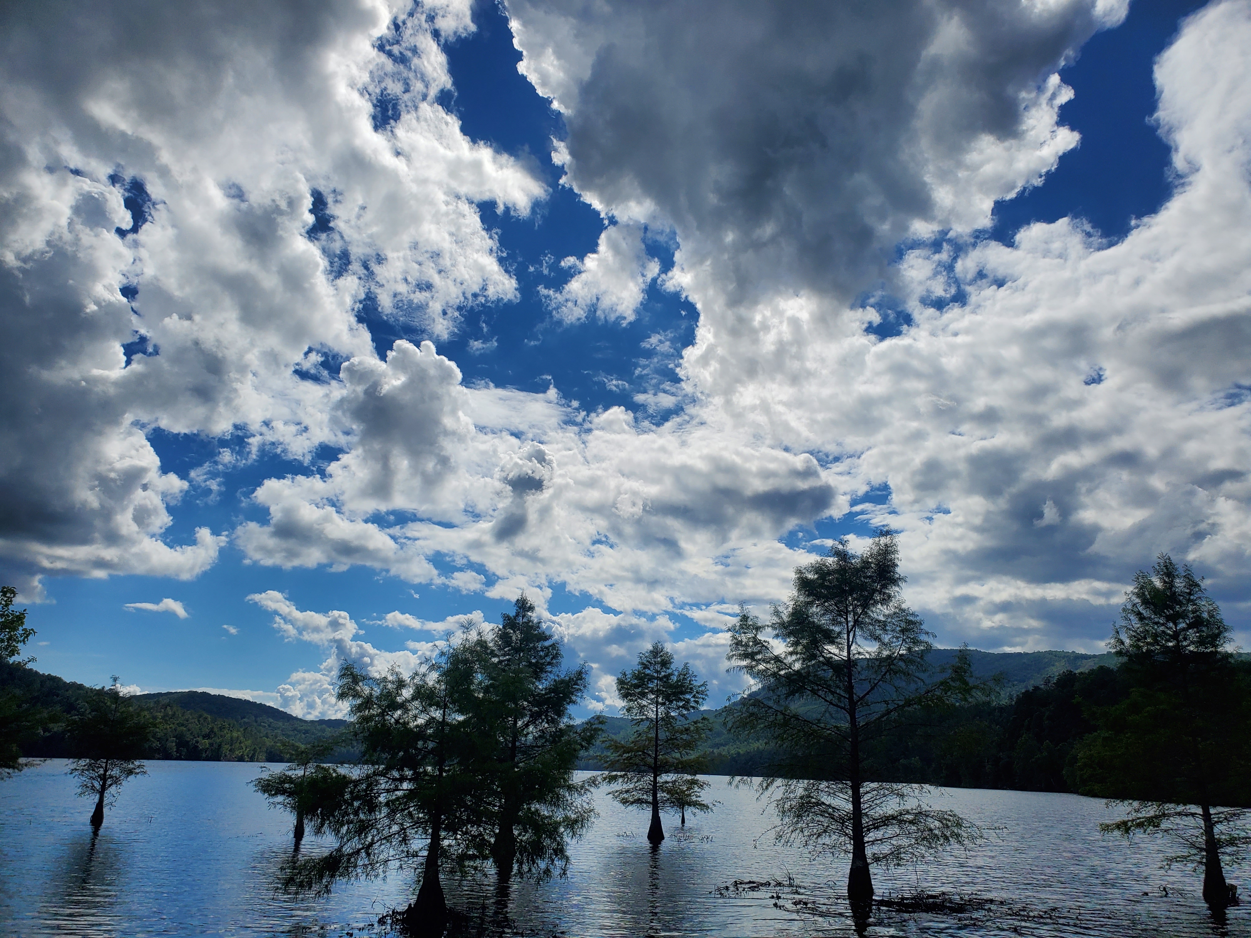
GREASY CREEK
Gross name, even grosser backstory. Allegedly this was named after early settlers who used to lie on rocks to sip water, while all the bear grease saturating their clothing stained the rock surfaces and contaminated the water.
Hopefully we can all forget that fact and move on now.
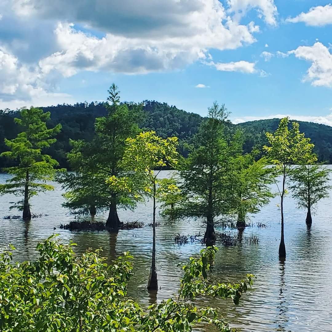
Greasy Creek does not really have a large place to pull off and explore from the Byway, but there is one particular sweet spot where you can capture photos of these beautiful Cypress trees out in the water.
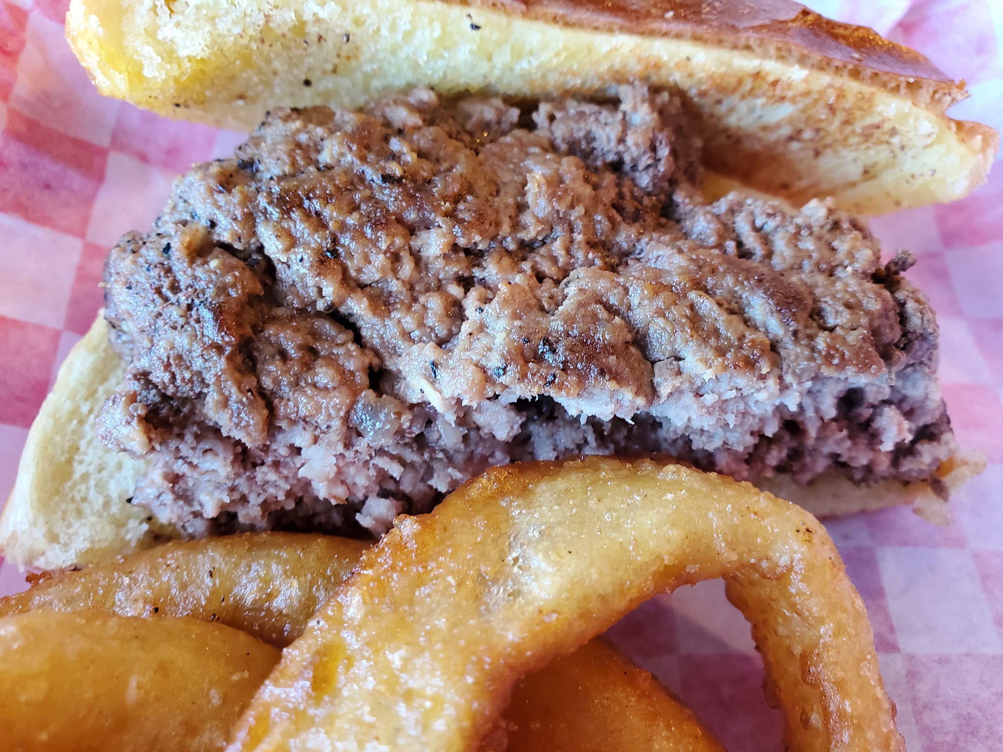
WHERE TO EAT & DRINK
In between exploring each of these rad locations, be sure to visit some of the area’s cafés and social hangouts.

Ocoee Coffee Joint & Ocoee Botanicals is a one stop shop for outdoor gear and accessories (even for pets!), clothing, shoes, snacks, campfire essentials, CBD and hemp products, and they have a cafe with an extremely diverse selection of drinks.
It was a tough choice between several adaptogenic shakes, Biolyte cocktails, teas, kombuchas, coffee, juices, seltzers, and more.
Shout out to Adam for answering all of our questions and for good energy. Check out their sister store Fireflies down the road, too.

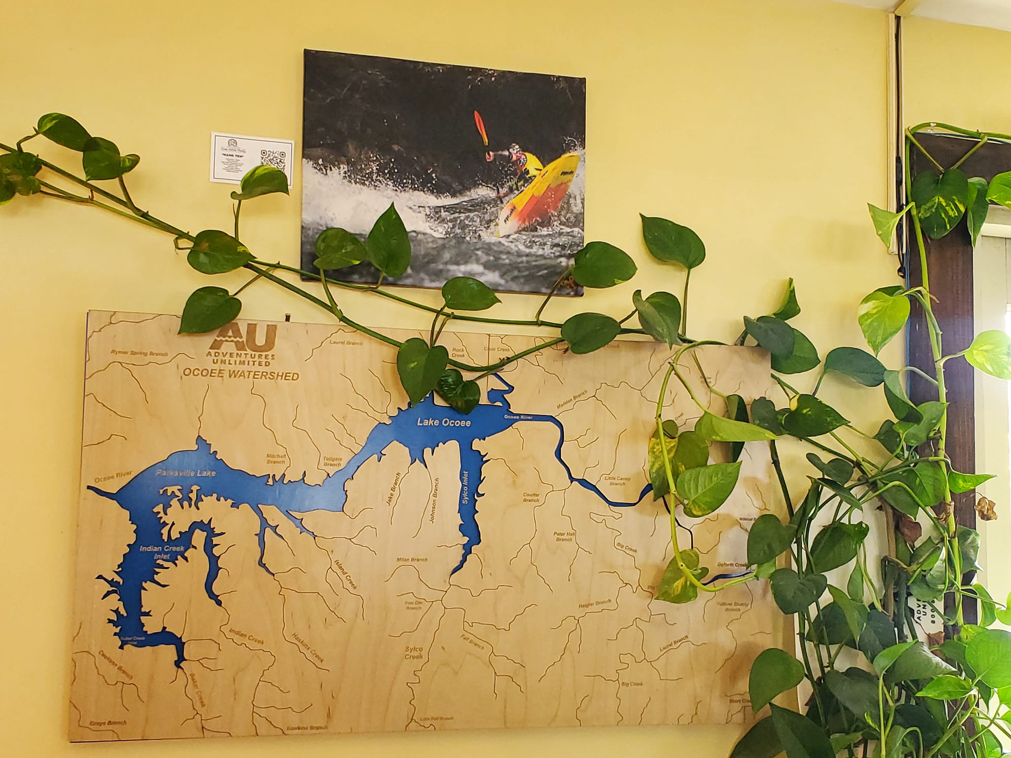
Bus Bar & Grill has an indoor bar and restaurant seating but its main draw is the outdoor complex with covered bars, a stage for live music, and lots of space to let dogs and kids roam.
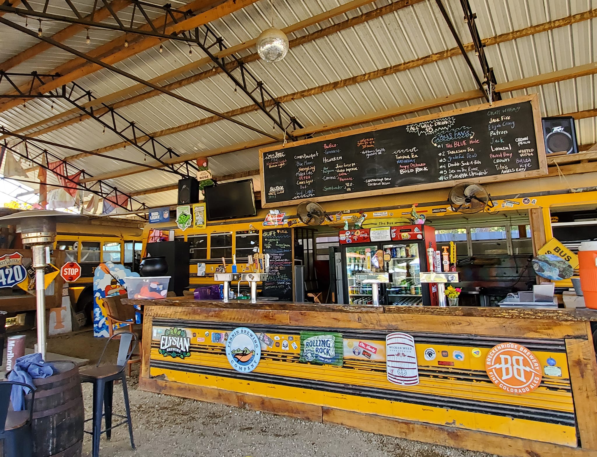

I love this wood-carved map of the Ocoee River inside by the bar.
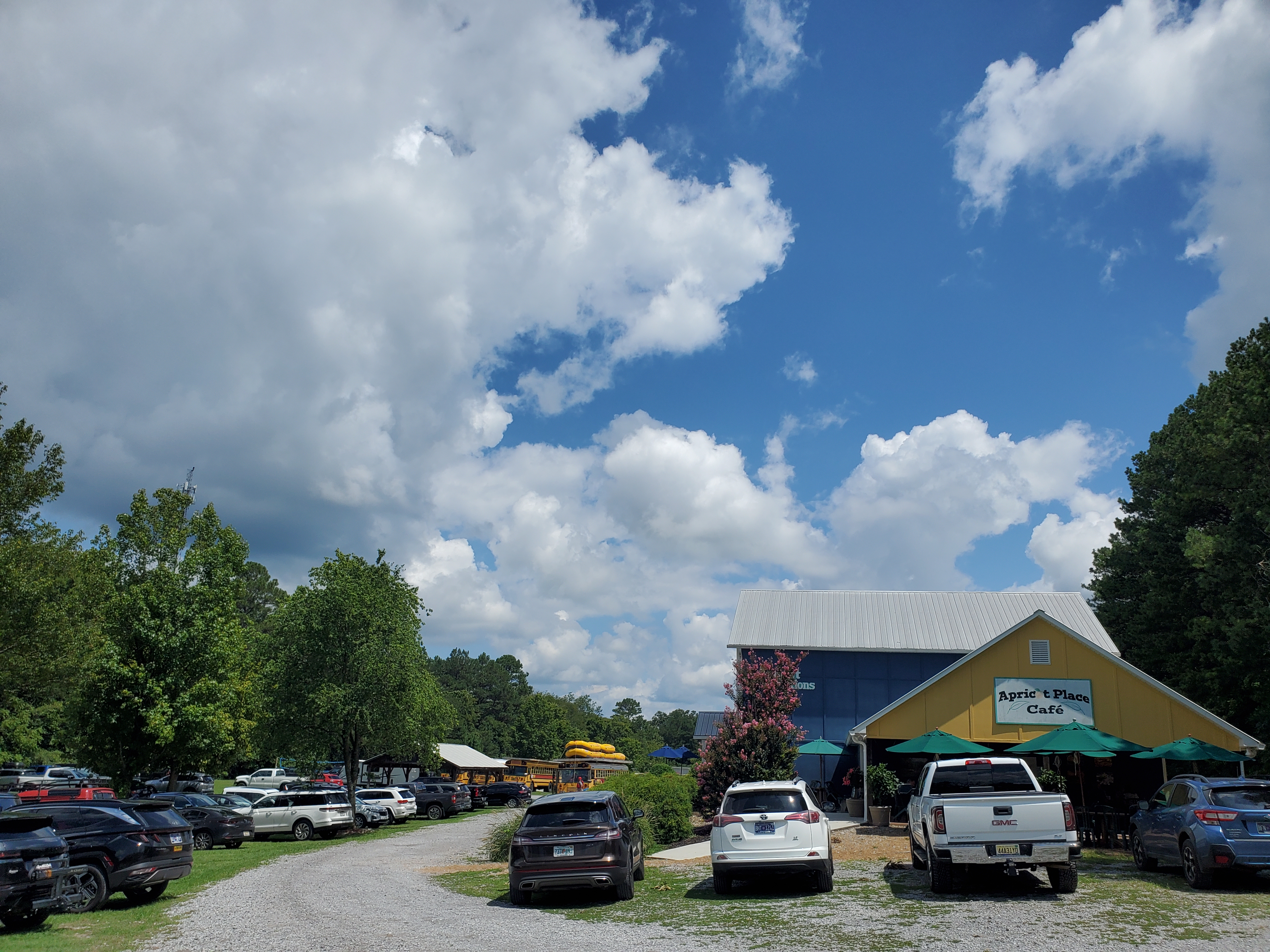
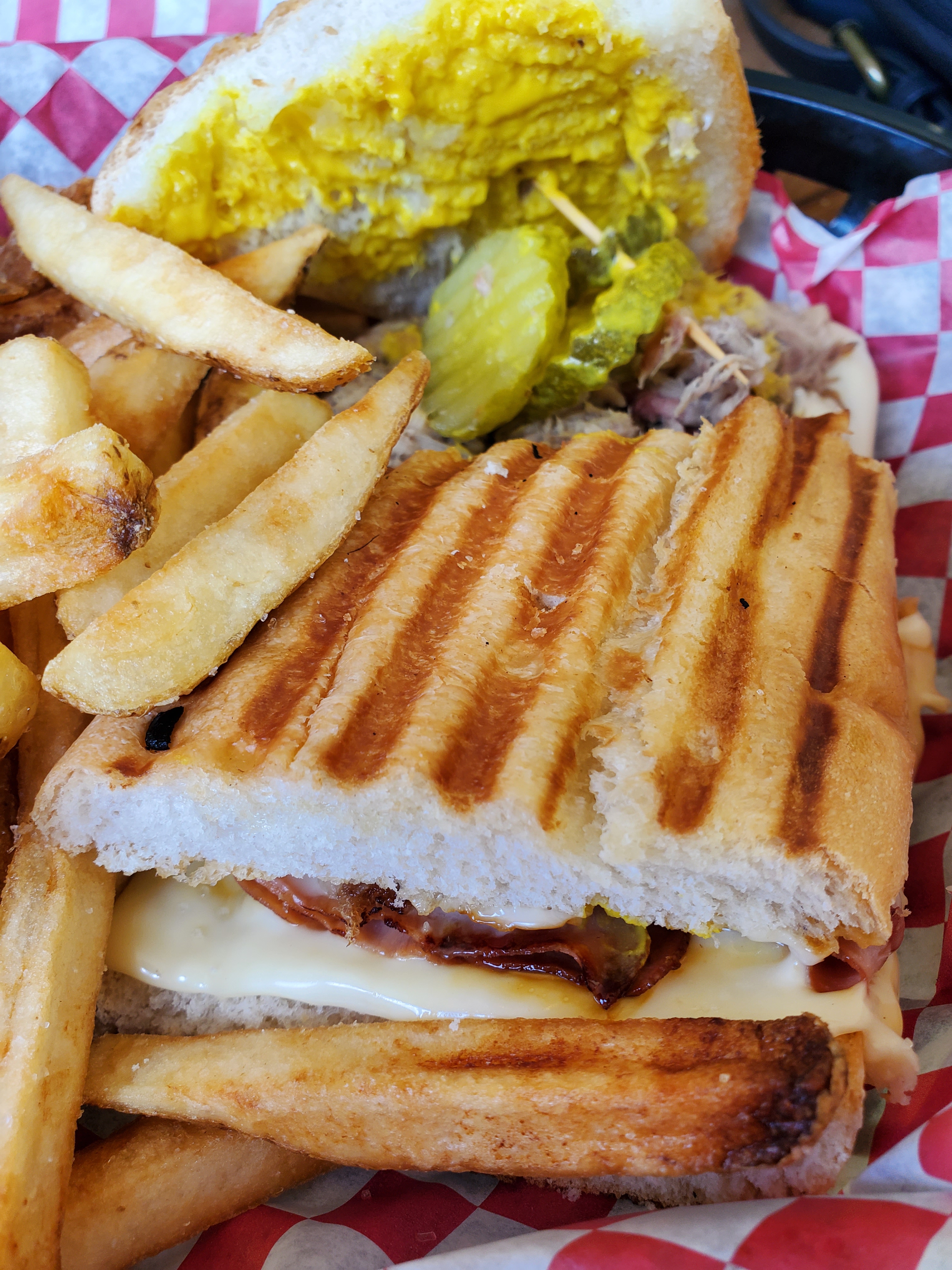
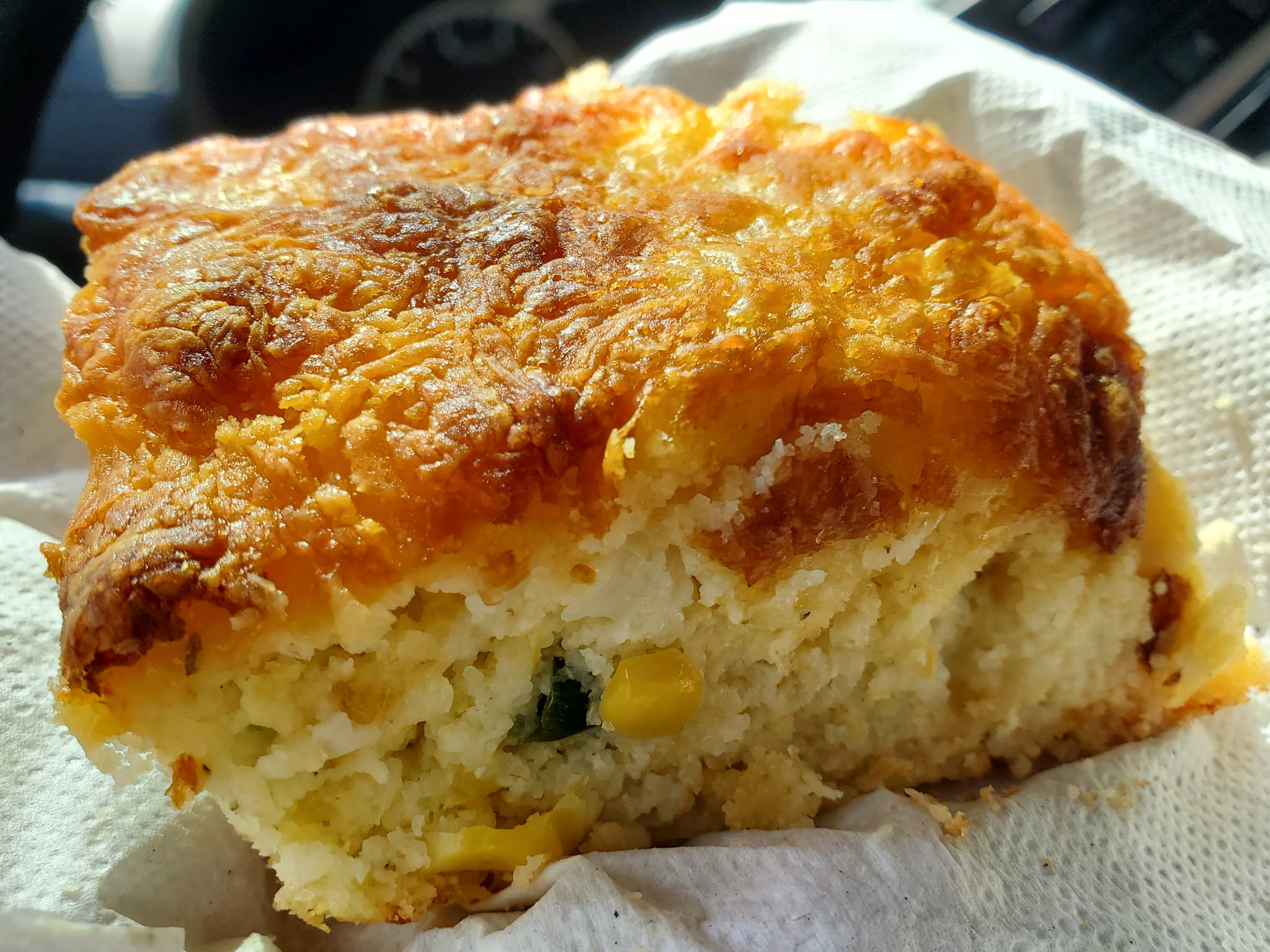
Apricot Place Cafe is known for its delicious sammies and perfect location for anyone looking for a meal before or after a day of whitewater adventures.
Here are their Cuban and Reuben sandwiches, my two favourites of all.

Ocoee Dam Deli & Diner, Hungry Hippie, Blue Hole Café at Ocoee River Experience, Cajun Lady Seafood, and Blue Hole BBQ are a few other options right along the Byway.
You can get local brews at Ocoee Winery near Cleveland and at Ocoee River Distilling in Ducktown.

POLK COUNTY’S RURAL COMMUNITIES
If I heard what I heard, Benton, Delano, and Reliance are the three most prominent communities in Polk County, north of the Ocoee Scenic Byway.

NANCY WARD’S GRAVE is one of the first sites I visited in Benton.
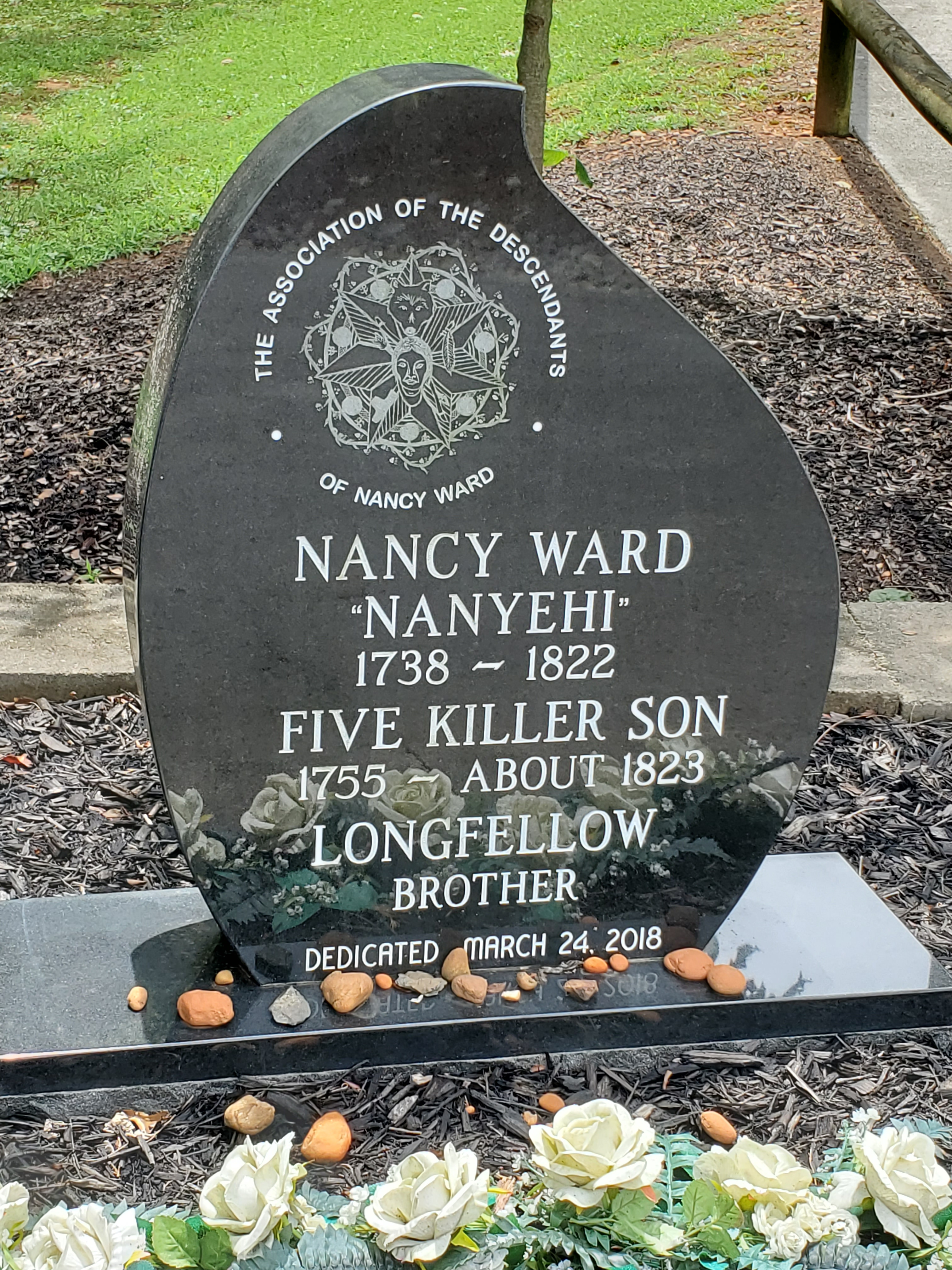
Nanyehi “Nancy” Ward was a Cherokee woman and leader celebrated for helping the white folk when they swarmed in, but really, did she have a choice?
I can not even imagine her inner struggles to adapt and make sense of life, even without those imposing Europeans who utterly betrayed her people later.

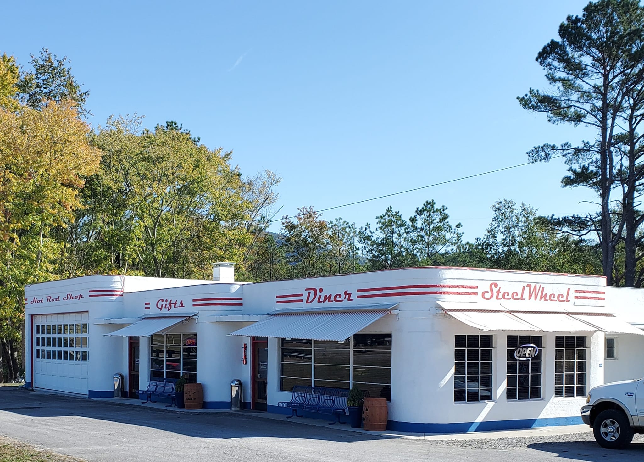
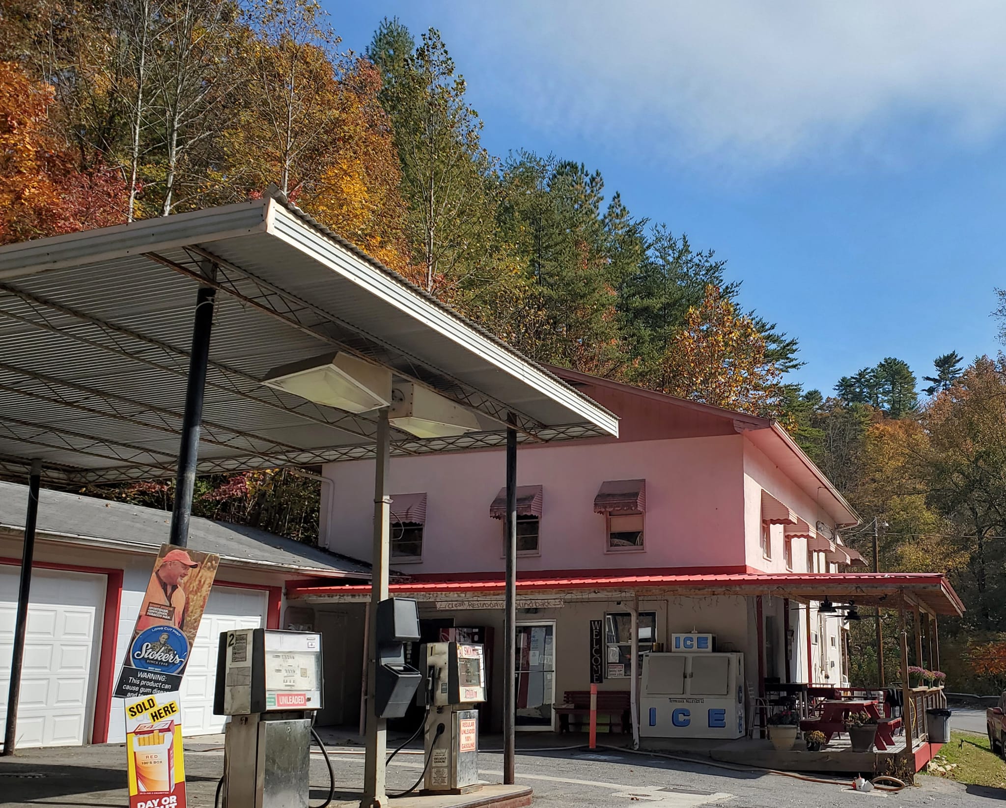
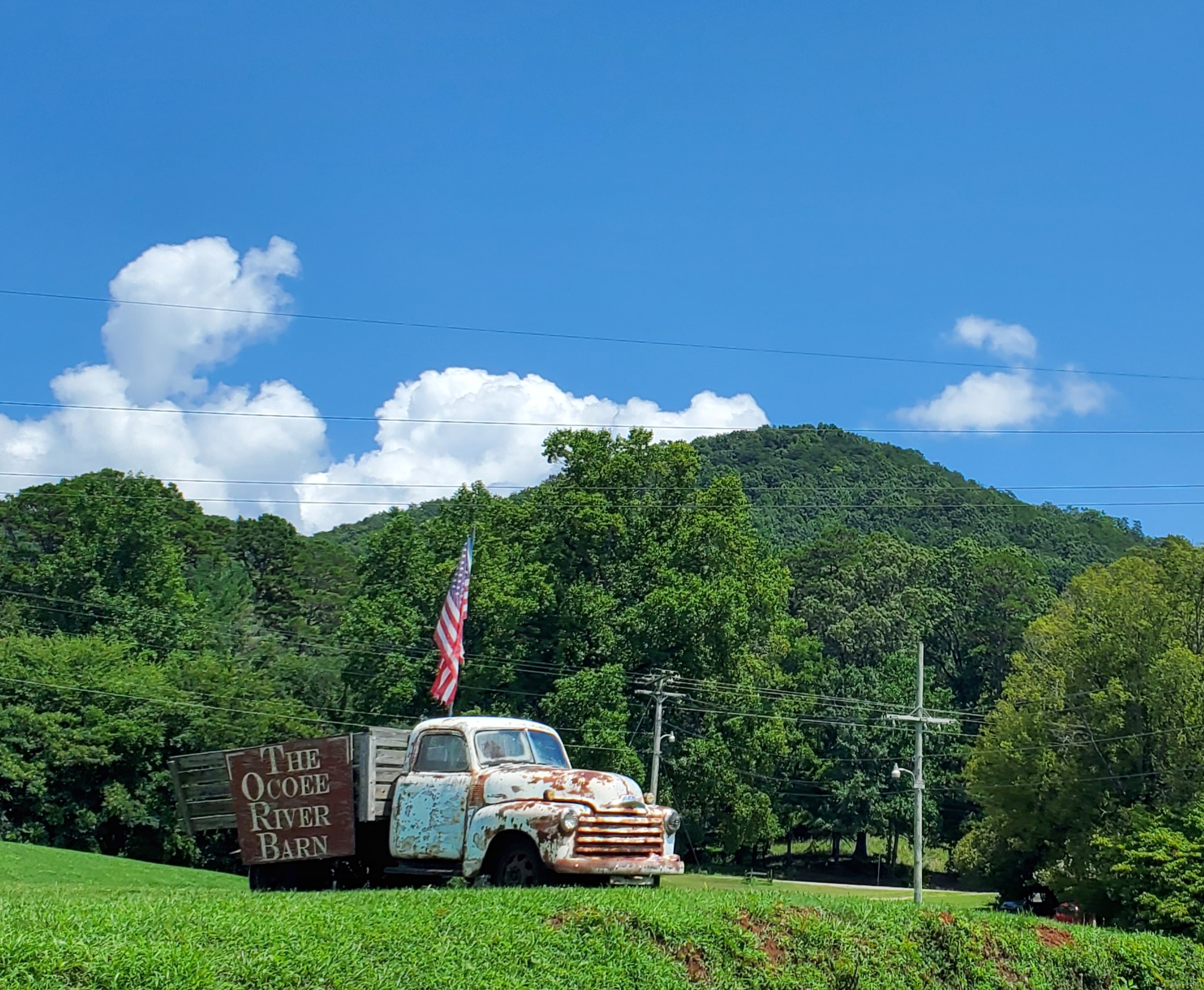
Steel Wheel Corner (no website) at 8784 Hwy 411 is a super cute 50s style diner with a vintage mechanic shop feel.


On the eastern end of the Ocoee Scenic Byway, the communities of Ducktown, Copperhill, and McCaysville are collectively known as the Copper Basin.
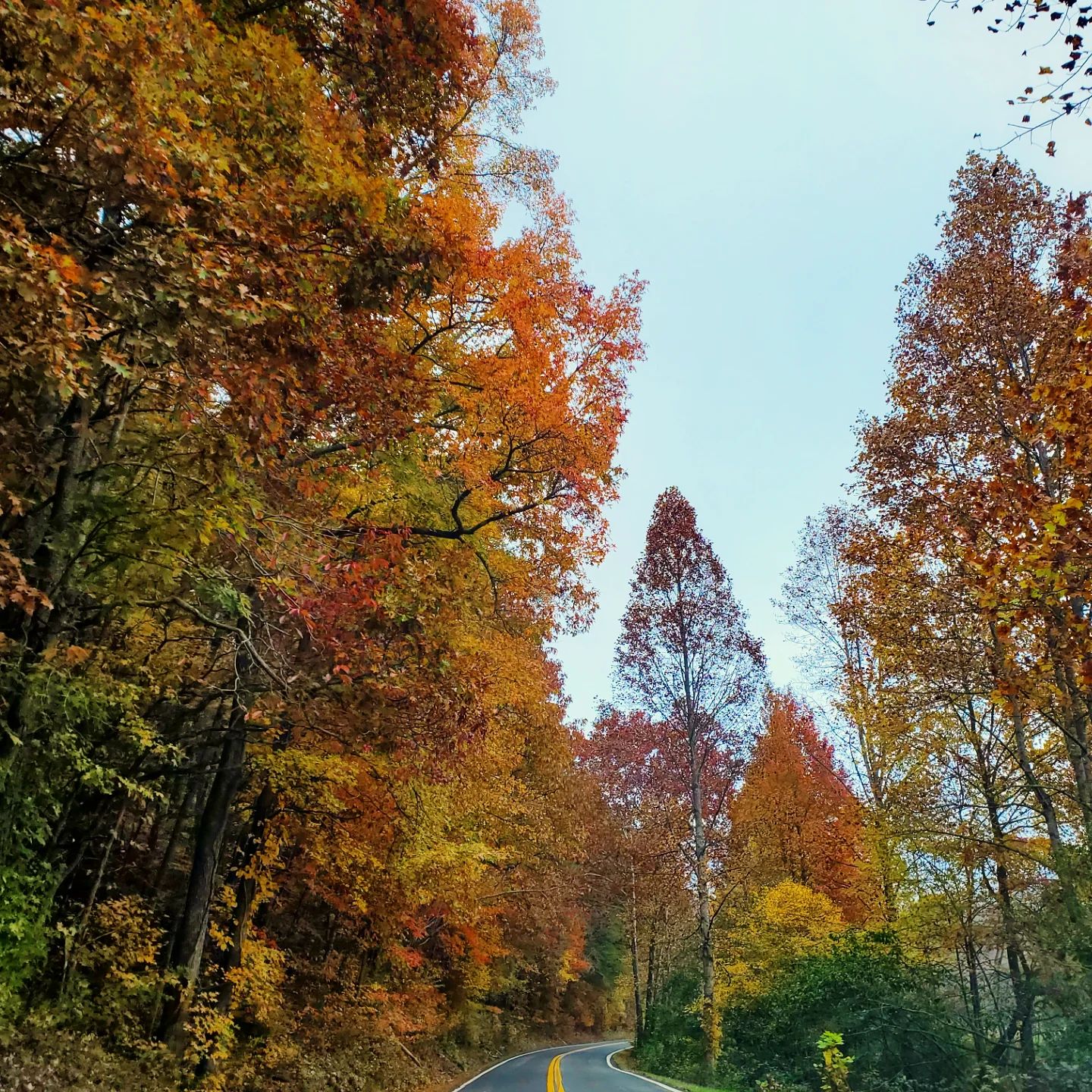
My favourite time of year is fall and I suggest visiting the during last half of October when all the leaves are turning, right before they drop.
© Fernwehtun, 2015- Current. Unauthorized use and/or duplication of this material without express and written permission from this site’s author and/or owner is strictly prohibited. Excerpts and links may be used, provided that full and clear credit is given to Fernwehtun and Fernwehtun.com with appropriate and specific direction to the original content.


Leave a comment