

BRADLEY COUNTY is located in southeast Tennessee between the TN/GA State line and the Hiawassee River.
It covers over 330 square miles and includes the cities of Calhoun, Charleston, and Cleveland, its county seat.
This land was part of the Cherokee Nation’s territory prior to the arrival of white folk.

THE GATEWAY
Starting in the 1790s, visitors were required to get a passport from the Cherokee Indian Agency to enter the Cherokee Nation because it was not part of the United States. The Cherokee Indian Agency functioned as the passport office, border control, and embassy. It was first located in modern-day Kingston, known back then as Fort South West Point.
In 1807, the Cherokee Indian Agency was relocated to the Hiwassee Garrison by the Hiwassee River, and in 1820, it was relocated to Charleston, TN.
Passport requirements continued until 1834 when, by that time, the US Government had passed the Indian Removal Act against the Cherokee as its grand finale in a series of betrayals. Officials had began the ethnic cleansing of Native Americans, forcing them westward into a death march known as the Trail of Tears and stealing their land.

In recent years, people of Bradley County have developed a symbolic passport and travel guide for visitors called the Passport to the Cherokee Nation. This is an attempt to honour the Cherokee and to highlight some of the area’s most significant historical sites.

CALHOUN
Calhoun and Charleston are two small towns on opposite sides of the Hiwassee River, locally known as the “twin towns.”
The Hiwassee River flows from North Georgia into Blythe Ferry, through Charleston, Reliance, and into the Cherokee National Forest.

My blog is geared toward driving explorations, but the Hiwassee River Blueway is a scenic boating route that spans 55 miles along the river, with various camping and attraction points along the way. It is divided into lower, middle, and upper segments that you can read all about and see maps of on the website.

Calhoun has many significant sites like the grave of former TN Governor Joseph McMinn, the defunct Gideon Blackburn Mission Site, and the Colonel J. Meigs Home Marker, each located at various points on Main Street.
The Calhoun Community Cemetery on Church Street is where the original 1820 Calhoun United Methodist Church was built, though its congregation relocated to a new site around the corner in 1963.
The old church served European and Cherokee worshipers, and its cemetery’s most notable interred is Col. Gideon Morgan. He married the Cherokee granddaughter of former TN Governor John Sevier, whose namesake spans all the way over to Knoxville highways and memorials.

CHARLESTON & FORT CASS
With the Cherokee Indian Agency operating in Charleston from 1820-1834, the town was legally and literally the Gateway to the Cherokee Nation.
As the Cherokee Indian Agency dissolved in 1834, the area was quickly converted into a military post called Fort Cass to oversee the Cherokee as they were held in internment camps, and then during their forced removal along the Trail of Tears.

My first stop in Charleston was at the Hiwassee River Heritage Center where the National Historic Trail of Tears Tribute begins.
It is an official National Park Service site that follows the actual route that Native Americans were forced to walk.
The National Trail of Tears Association and its Tennessee Chapter have partnered with NPS to maintain and protect the trail, and they also host annual cycling and other events.

From the Hiwassee River Heritage Center, the Trail of Tears Tribute is about 0.4 miles long. It runs parallel to Market Street until it reaches the parking lot between Charleston City Hall and the Hoyt Berry Municipal Park.
This segment of the trail is called “Voices of the Past” and plans for extensions connecting it to the Hiwassee Riverbank are in the works.

HISTORIC HOUSES & CIVIL WAR SITES
You will find that most of the significant Cherokee historical sites in this region double as Civil War Trails locations.
Many of the county’s historic buildings and homes housed military officials on both sides of the war as well as politicians and clergy. Be on the lookout for Civil War Trails markers and beige/silver plaques in front yards.
Henegar House on Market Street was the home of Henry Benton Henegar, who served under Chief John Ross to assist the Cherokee on their journey west.
The home was used as a makeshift military outpost for Confederate and Union officials during the Civil War and sits on part of the former Fort Cass territory. It has been on the National Register of Historic Places since 1975.

THE LEWIS ROSS HOUSE on Market Street was built in 1820 by Lewis & Frances Holt Ross, brother of Chief John Ross.
A man named S.S. Barrett took over ownership of the home after the Cherokee were forced out, and he converted the site into a hotel. The Barrett Hotel Site still stands despite multiple fires in the 1880s.

Bruderhof Community: Here’s a little side trail for you.
The Hiwassee region is home to a Bruderhof community, one of only two dozen or so in the entire world. Others are located in the United Kingdom, Australia, Germany, Austria, and one in Paraguay. The religion originated in Germany but members faced a diaspora during the Nazi regime of World War II.
Bruderhof communities are extremist evangelical Christian Anabaptists. They are vehemently against any type of marriage or sexual relations aside from one man who is married to one woman. Members oppose divorce and remarriage, even in the event that one spouse becomes deceased. Weird hill to die on.
The Bruderhof functions as communal living, where no individual has ownership of any properties or possessions. Unlike the Amish and Pennsylvania Dutch communities up north, members are allowed to drive modern vehicles and work out in the secular world at businesses owned by the Bruderhof corporation. Read more about that here.
Vows must be made publicly “to put yourself completely at the disposal of the church community to the end of your life – all your faculties, the entire strength of your body and soul, and all your property, both that which you now possess and that which you may later inherit or earn” among others.
Yikes!
I find it interesting that they quote by T.S. Eliot to validate their cause, when T.S. Eliot’s friends and family were so completely outraged and shocked by him turning to religion later in life that they all considered him to have finally gone mad and tried to intervene.

NANYEHI “NANCY” WARD GRAVESITE STATE PARK
Back to Cherokee history, the grave of Cherokee leader Nanyehi “Nancy” Ward is located inside the Nancy Ward Gravesite State Park off Hwy 411.
It is about 13 miles from Henegar House, a pleasant detour to your next destination in Cleveland.

RED CLAY STATE HISTORIC PARK
Red Clay was the last Cherokee eastern capital and council grounds, used from 1832 until 1838 when the Cherokee were forced out.

The park sits on more than 260 acres and contains replicas of the council house, Cherokee farmhouses, and other structures that demonstrate what life was like for the families who lived and met here.
Red Clay State Historic Park is a certified interpretive site on the National Historic Trail of Tears and has been on the National Register of Historic Places since 1972.

The Eternal Flame of the Cherokee Nation memorial honours the Cherokee who died during the Trail of Tears and the reunion of the Cherokee Nations eastern and western tribes in 1984.

Ranger-led hikes and other events and activities are hosted here onsite and in the park’s amphitheater.

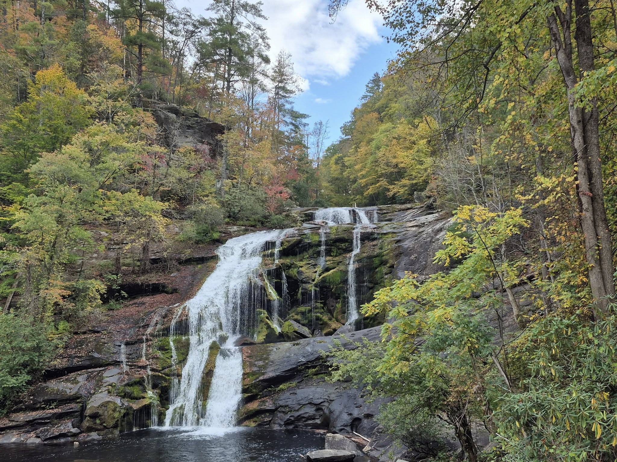
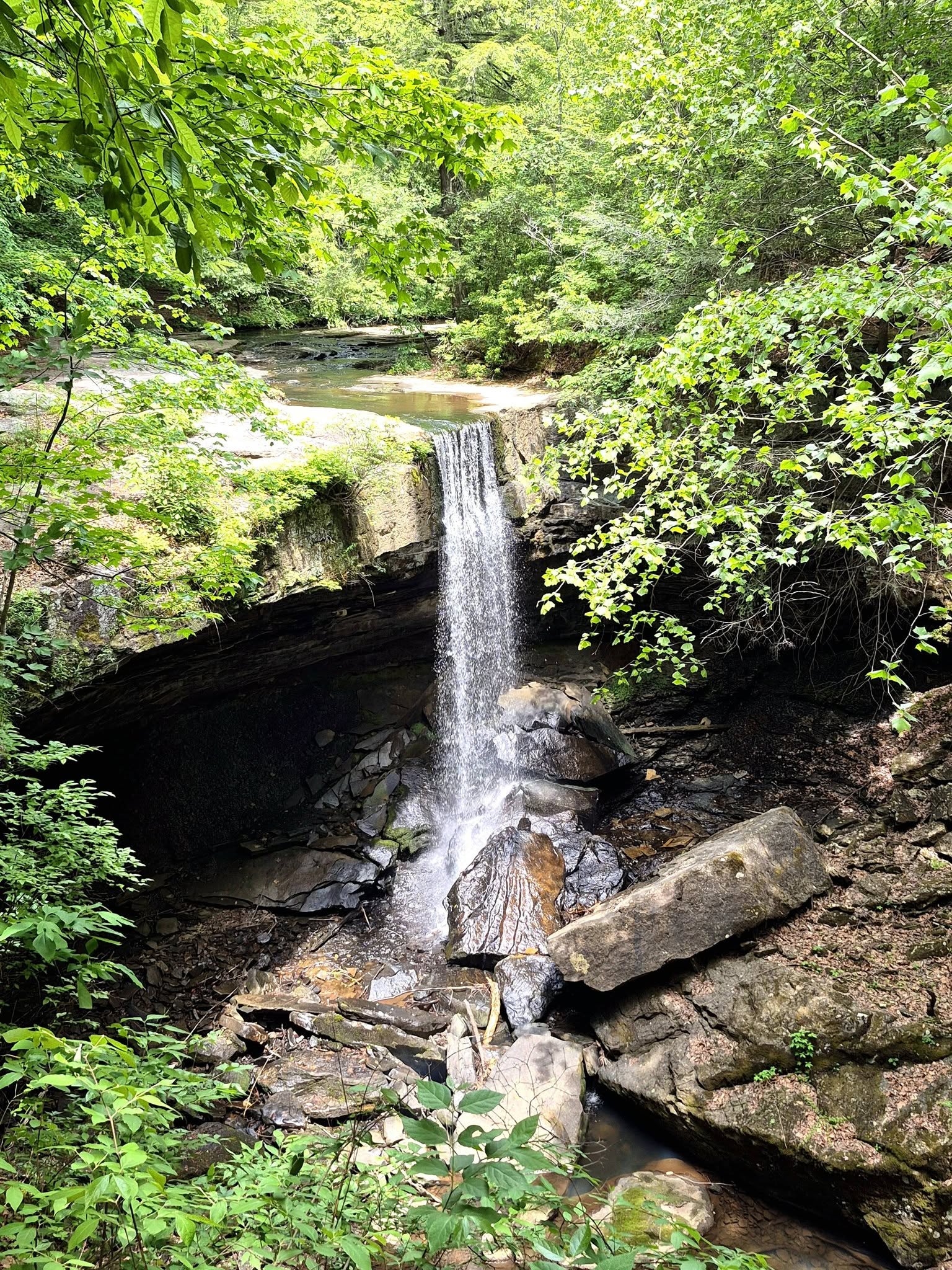
The 0.2-mile Blue Hole Trail is essentially just the path across the lawn to the Blue Hole, and the 0.15-mile Connector Trail is the short path that leads you to the 1.7-miles Council of Trees trail. The latter is considered moderate and leads to the Overlook Tower.

The Blue Hole spring is known to generate more than 400,000 gallons of water daily, and its sparkling blue water reflecting green foliage has the appearance of an enormous labradorite stone.

Visitors often picnic by the Blue Hole, along the creek, or any other pretty spot that catches their eye.

Red Clay State Park’s Visitors Center & Gift Shop is also a museum and art gallery.

You can view and purchase handmade items from local Cherokee artists and browse a collection of artifacts of the area.

I really loved this collection of stained glass panels that narrate the history of Cherokee people in the region and the Trail of Tears.


MUSEUM CENTER AT 5IVE POINTS
The Museum Center at 5ive Points is also located in Cleveland and its mission is to share the story of the Ocoee Region, which overlaps the Hiwassee/Cleveland/Cherokee Nation territory.

Children’s programs, educational courses, arts and crafts activities, musical performances, lectures, festivals, and other events have kept this place hopping since 1999.
The gift shop has a large selection of local art and area souvenirs.

Check out some of the virtual exhibits too.

BLYTHE FERRY
Birchwood is a small community in Meigs County, neighbour to Bradley County, and home to the Cherokee Removal Memorial Park at Blythe Ferry.

The park has a monument with the names of each Cherokee person expelled onto the Trail of Tears, divided by state of origin.

There is also a large map showing significant sites of the Cherokee Nation, Trail of Tears, and various routes that were taken.

Another feature is the memorial wall with plaques that tell more about important people and events on the Cherokee timeline.

Around 9,000 Cherokee people and 500 Creek people were forcibly moved form Charleston, TN to Blythe Ferry, waiting for their time to cross the river and continue on the Trail of Tears.

This was the last that so many of them would ever see of their homeland.

Follow the short trail up to the top of the bluff to a picnic shelter and ramp to the Hiwassee River overlook.

For those who are unable to walk up the trail, you can drive small vehicles up a narrow gravel path, but beware of hikers.

At the northernmost point of the Birchwood peninsula, the Blythe Ferry boat ramp provides access onto the Hiwassee River.

Across the water is the town of Graysville and city of Dayton. I have written about that area already, so check out this blog.

MORE OVERHILL CHEROKEE SITES
Countless Cherokee towns are buried under water in East/Southeast Tennessee. The history of this region and its native people is still full of mysteries even after decades of extensive archaeological projects.
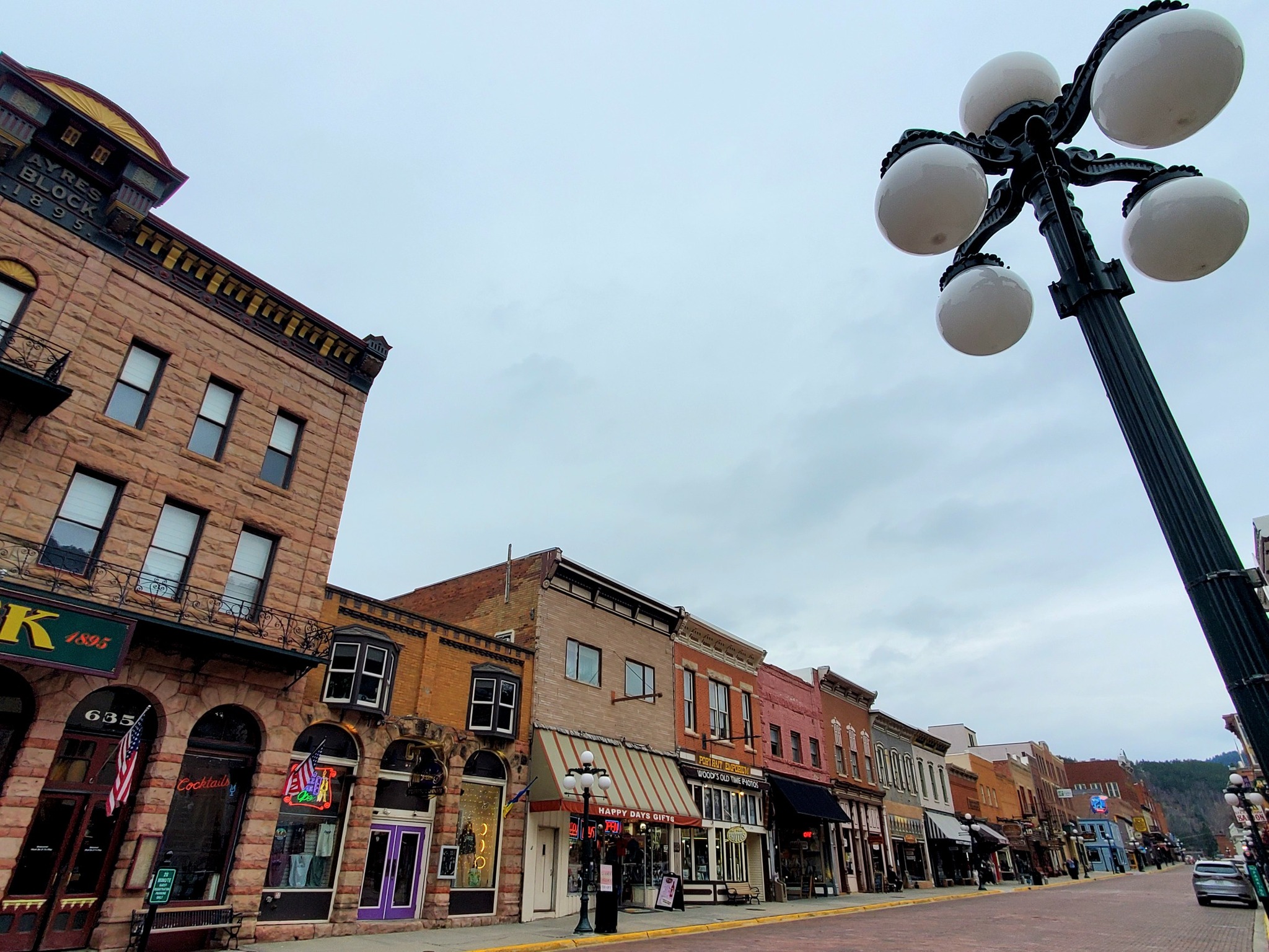
Visit the town of Sweetwater and explore its underground Lost Sea caverns on the way to Vonore, a historically and culturally-rich, prominent archaeological site just a few miles south of Historic Loudon, Morganton, and Greenback.
Much of Vonore‘s notoriety centers around the Seven Years War and the Cherokee Warriors’ efforts at Fort Loudoun.

Fascinating places like the Tellico Blockhouse, the Fort Loudon State Historic Site & Park, the Sequoyah Birthplace Museum, the Tanasi and Chota Memorials, and the community of Toqua form a crescent around this part of the Little Tennessee River.
Click here to read my blog about it.

The journey between Fort Loudon, Tellico Blockhouse, Sequoyah Birthplace Museum, and the Chota &Tanasi Memorials is also part of a historical route referred to as the Unicoi Turnpike Trail.
It combines an automobile trail with accompanying hiking trails through the Cherokee National Forest from Vonore, TN to Murphy, North Carolina.
Murphy is known for hosting the Cherokee County Historical Museum and the route is full of historically significant sites like the Belltown Cane Creek Massacre.
 \
\
NOLPIX MEDIA
I have had the honour of working with the film company NolPix Media as a production assistant for a few films now, which collectively have been aired on PBS and other networks, plus nominated for TWO MidSouth Regional Emmy Awards and other awards.
Check out this short NolPix film for more info about Tellico Archaeology:
And also this trailer for Secrets of the Nolichucky River, a film about a buried Cherokee village that was recently discovered to be the missing link in Cherokee history:
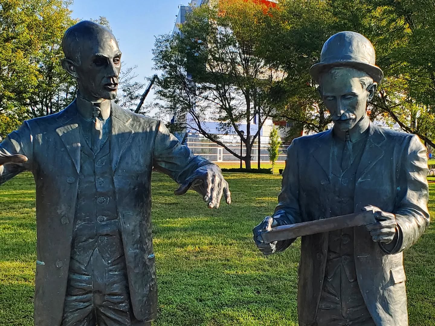
A full-length feature that may interest you is Wild River, the first major film produced entirely in Tennessee. It was released in 1960 and more than 100 Charleston residents made appearances or had speaking parts within.
Wild River tells the story of land battles between the Tennessee Valley Authority and locals (white folk) who lived in the areas that TVA sought to flood and build dams over for the greater good.
Some of those people are still alive, and some of the buildings seen in the film are still standing.
Catch the trailer here:
When you start to get hungry, do yourself a favour and check out my blog about all the great places to eat, drink, and be merry in Cleveland.

In the area for a while? Follow me to Cleveland, Vonore, Loudon, drive the scenic Cherohala Skyway to Robbinsville, or to Cherokee, North Carolina!
********************
© Copyright Fernwehtun, 2015- Current. Unauthorized use and/or duplication of this material without express and written permission from this site’s author and/or owner is strictly prohibited. Excerpts and links may be used, provided that full and clear credit is given to Fernwehtun and Fernwehtun.com with appropriate and specific direction to the original content.


Leave a Reply