
GETTING ITS FEET WET
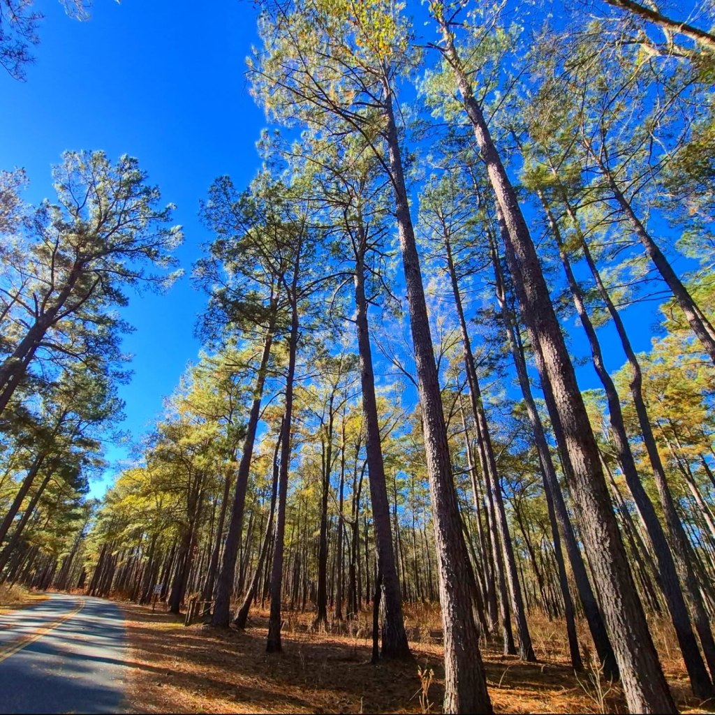
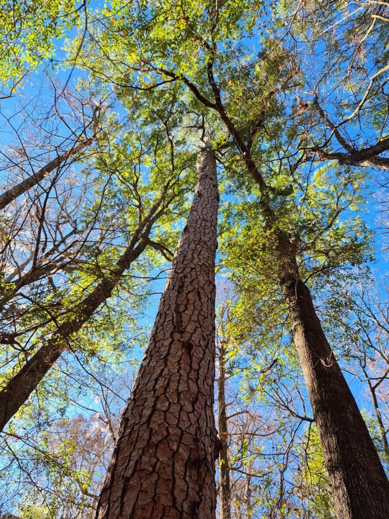
Congaree National Park is located southeast of Columbia, South Carolina, the state capital. It has been hailed as the “Redwoods of the East” and “America’s Congo” which reflects on its enormously tall trees and wild jungle-like riverscape. The park covers nearly 42 square miles and the Congaree River flows through it.
Congaree inspired Disney animators so much that they spent a significant amount of time there before producing the film Princess and the Frog. A few rangers there are listed in the film credits.
We absolutely LOVED it!
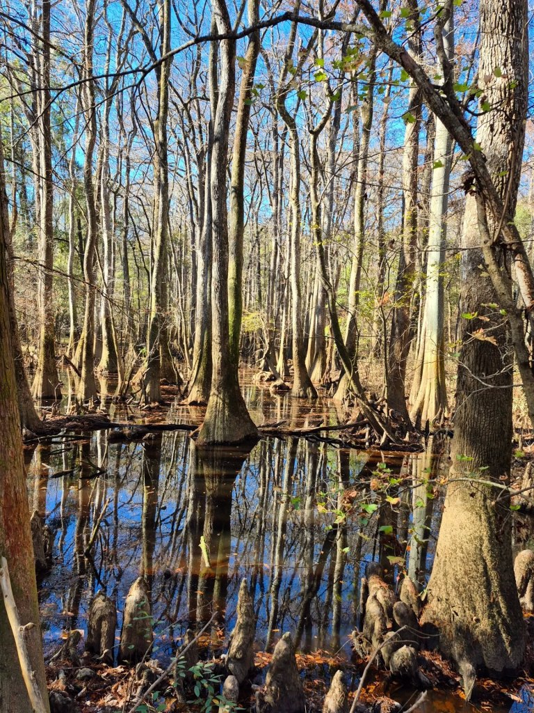
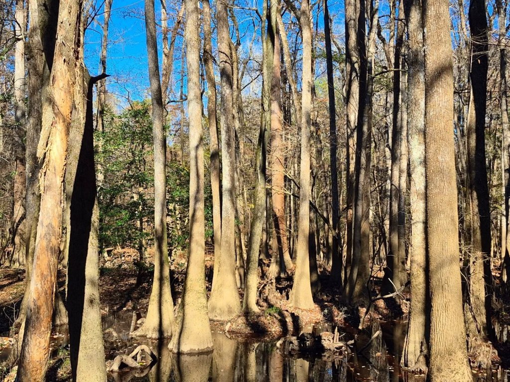
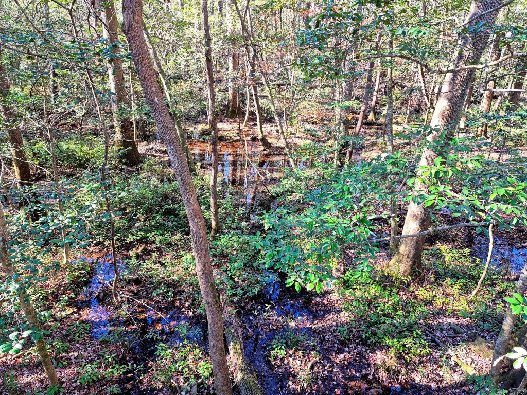
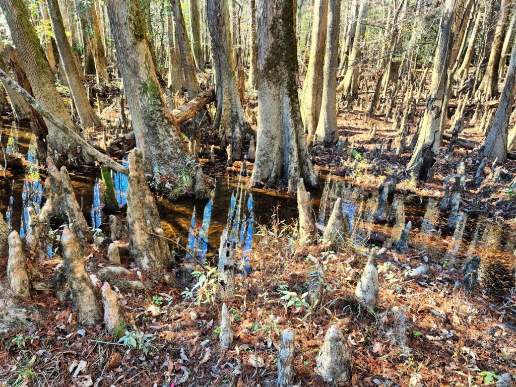
As you make your way through the park, especially around Weston Lake Overlook, you will be surrounded by unique knob structures sticking up out of the water.
These are known as Bald Cypress “knees” and they are part of the trees’ root systems, helping stabilize the giant trees in wet soil.
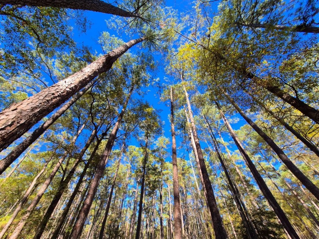
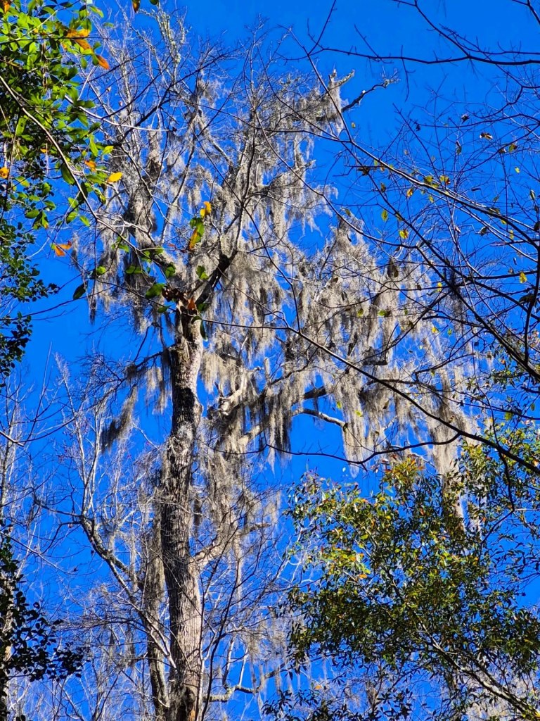
Congaree National Park protects some of the tallest trees in the country like the Loblolly pines and Sweetgum trees, and its super fertile “swamp” soil is full of nutrients that keeps them growing.
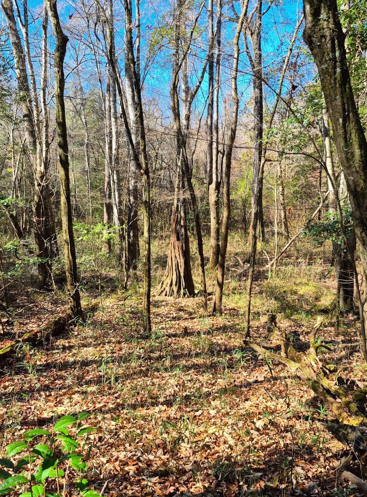
Congaree’s old-growth bottomland hardwood forest itself is a protected National Natural Landmark within the park.
Congaree also has one of the largest concentrations of “Champion Trees” around the globe, which means some of the tallest of fifteen different tree species are available to be gazed up at or hugged if you are so inclined.
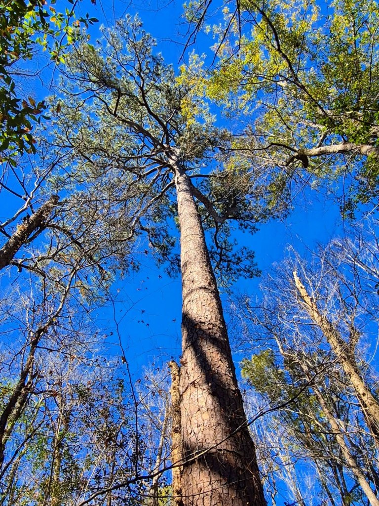
A few of these Champions include nearly 170-feet tall Loblolly Pines and 160-feet tall Sweetgum trees, plus Cherrybark Oaks, American Elms, Swamp Chestnut Oaks, Overcup Oaks, and Persimmon Trees that are all over 130 feet tall.
Congaree National Park has been a designated biosphere region, the Congaree Biosphere Region (and Reserve), since 1983 because of its unique natural resources and cultural heritage.
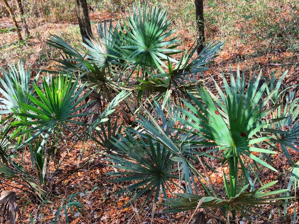
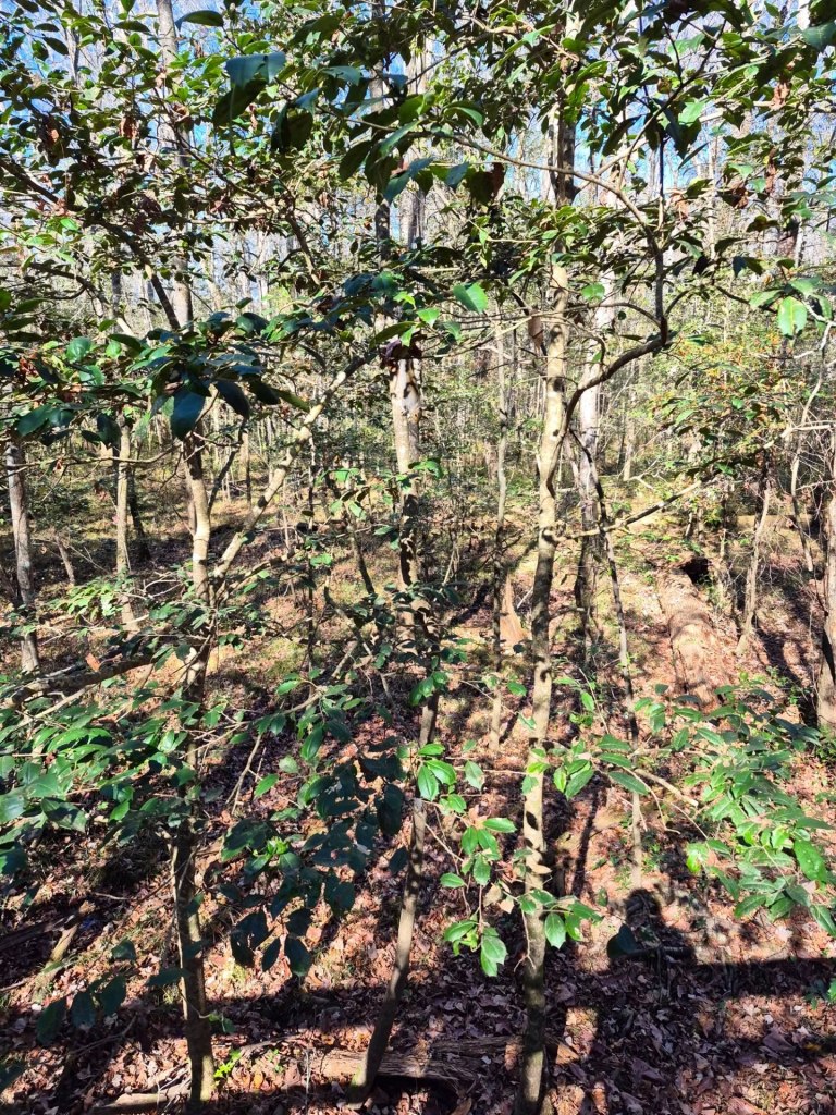
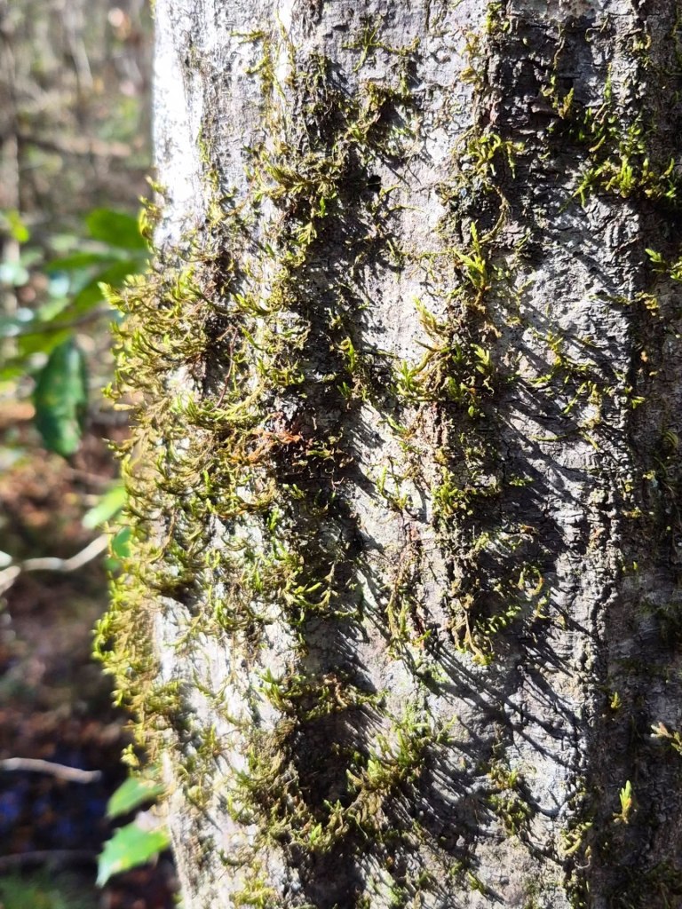
We saw everything from evergreens, holly types, moss and lichens, tall grasses, tropical plants, and Spanish moss.
There were quite a few pileated woodpeckers having a crack on various trees as we walked the trails, which gathered an awestruck crowd.
BEFORE YOU GO
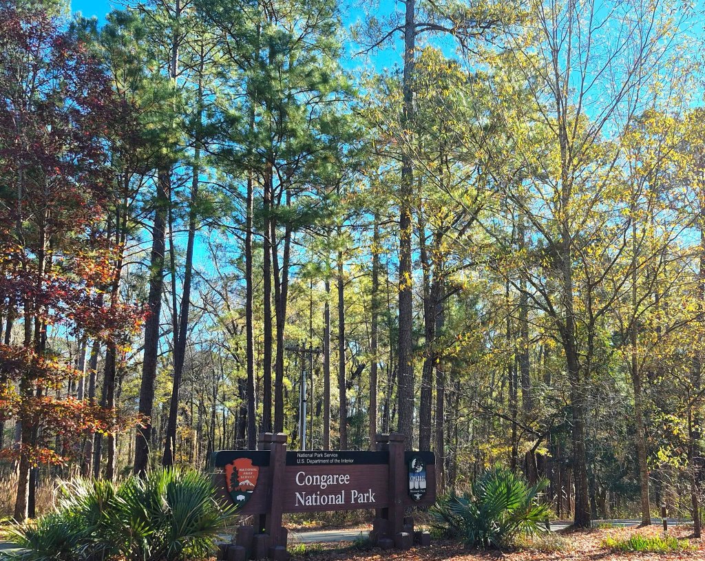
Most guests start their visit to Congaree at the Harry Hampton Visitor Center where you can use the restroom, check in with park staff if desired, get a map and trail guide, and immediately access the park’s famous Boardwalk Trail.
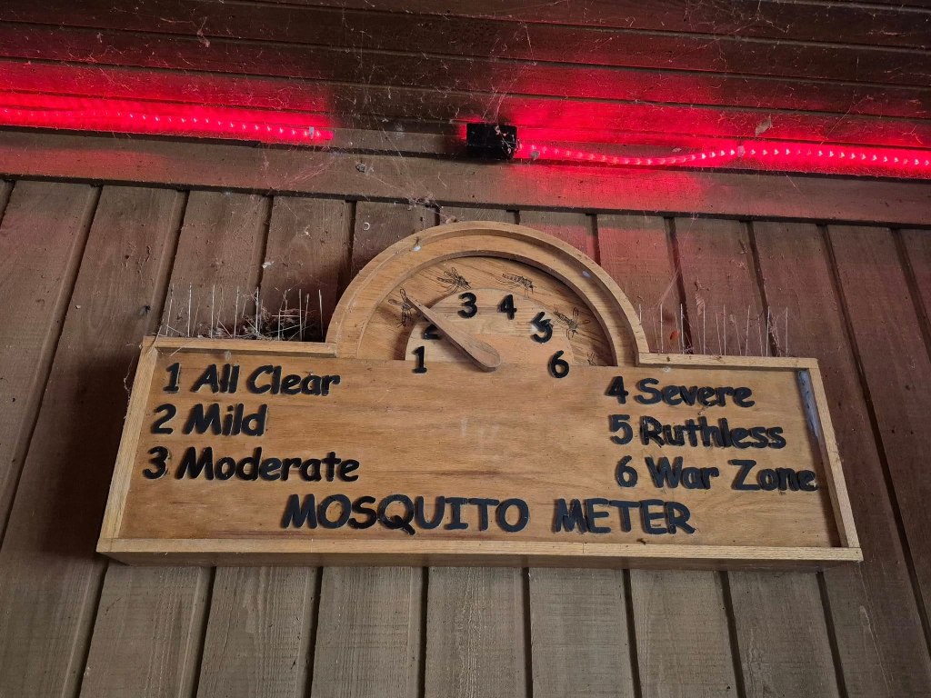
Sticky, smoldering swamp heat and swarming mosquitos define the park during warmer weather, and what gets the most complaints about Congaree National Park.
Locals refer to mosquitoes as South Carolina’s Second State Bird, and there are shirts and souvenirs circulating that read “I donated blood at Congaree.”
The weather was just right in late November and there were no mosquitos to greet us. In warmer weather, be sure to hydrate well and protect yourself with bug spray, sunscreen, and protective clothing.
Park staff have this funny Mosquito Meter posted outside the visitors center and it serves as a popular photo op.
As the colonizers began assigning land grants, creating cash crop plantations, and developing McCord’s-Bates Ferry, it is generally assumed that the survivors assimilated into white culture or other Indigenous tribes.
Harry Hampton, the Visitor Center’s namesake, was a local newspaper editor who fell in love with Congaree’s surreal wildness. He used his platform to advocate for preservation of the land and worked hard to fight against logging, backed by the Congaree Action Now activists.
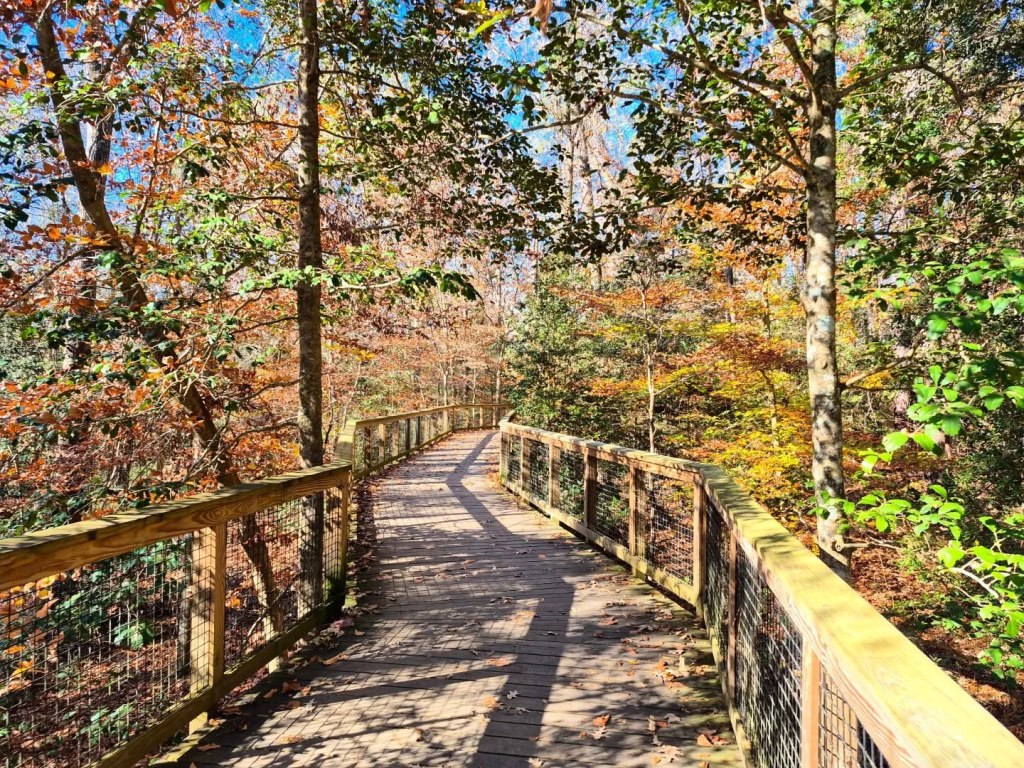
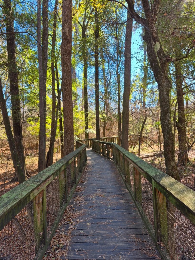
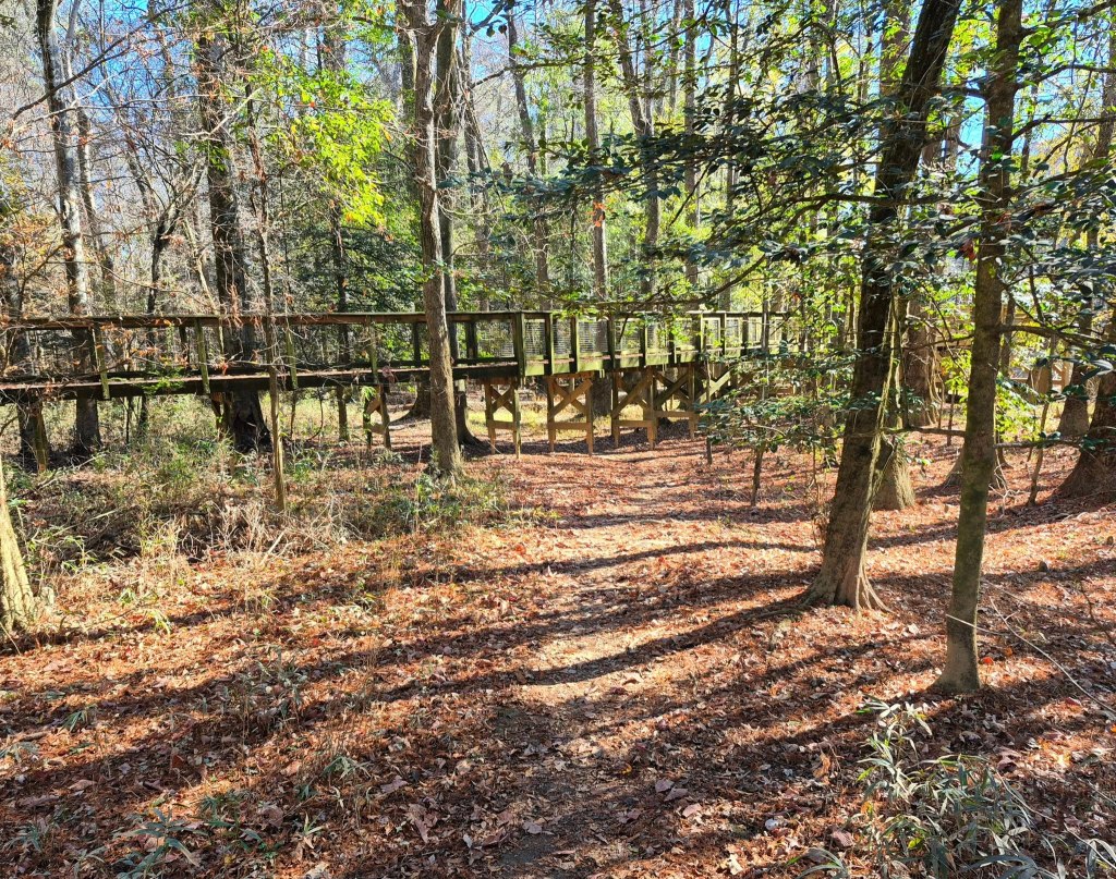
If it is completely open, you can hop onto the Boardwalk Trail right beside the Visitor Center and take the 2.5-miles loop right back to where you started.
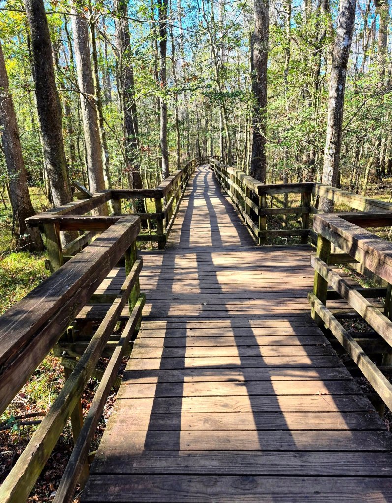
If it is closed, like it was during our visit, step off the Boardwalk after Weston Lake and follow the Sims Trail back up to the Visitors Center.
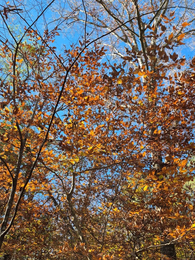
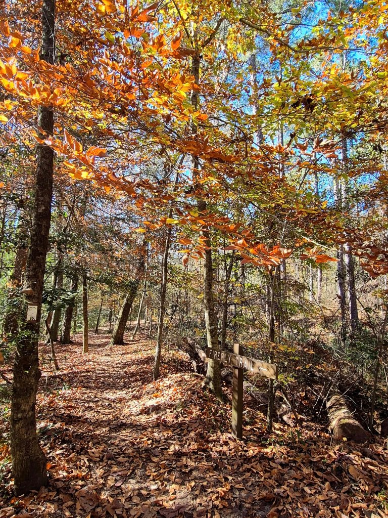
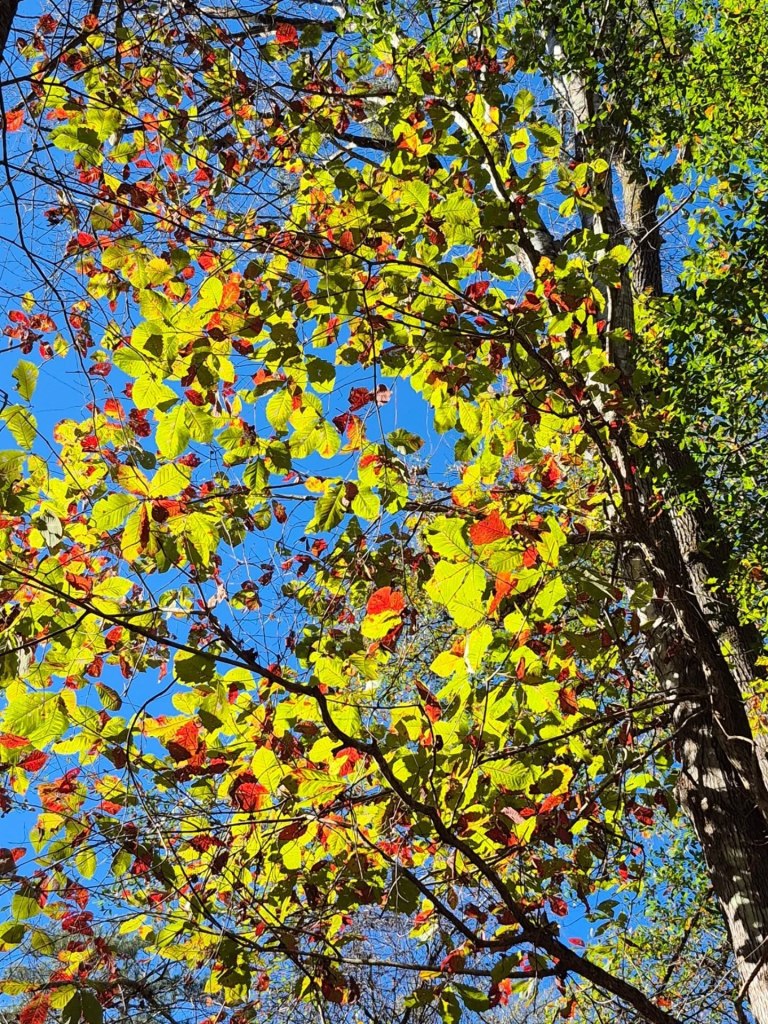
There are other trails available like the lovely Firefly Trail, which still had plenty of fall foliage even though the rest of the park had lost its colour.
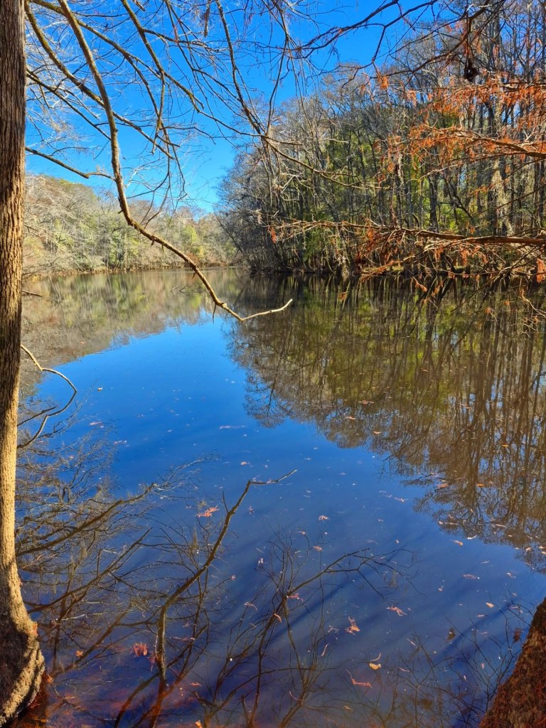
Weston Lake is serene, and the overlook has just been renovated so it is nice and sturdy.
Gators love rolling around in this area, below the overlook and in the water, so be wise about traipsing around off trail. I have been told over and over that they like to keep their distance from humans, but you know how humans are.
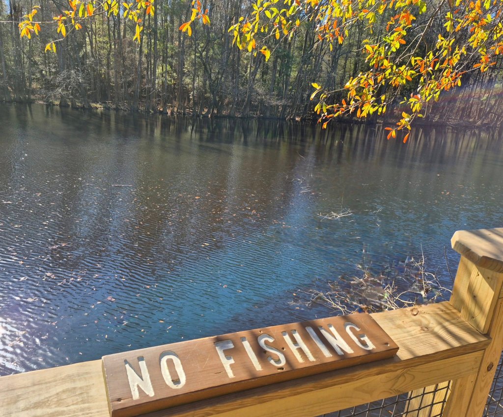
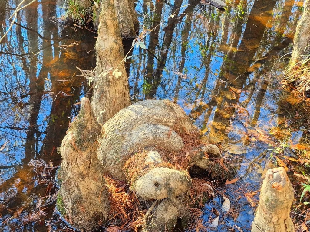
No gators today, but we found a cool rock that looks like a turtle. You don’t have to agree.
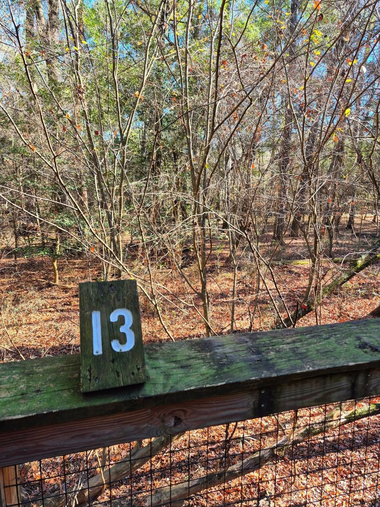
As you walk the Boardwalk Trail, you will see small numbered signs along the way. Each spot corresponds to a story or historical information on the
National Park Service’s self-guided tour and map. You can click that link or you pick up a pretty colour brochure at the Visitor Center.
Congaree leads into Manchester State Forest and Poinsett State Park at its most eastern edge, so take time to explore those while you are nearby.
One last thing I want to mention is the Instagram profile @landofthelostgiants that you should check out to follow a local’s daily adventures and insider takes on the Congaree National Park.
In the area for a while? Follow me to some of South Carolina’s other cool cities like Columbia, Charleston, Folly Beach, Pawley’s Island, or Georgetown!
*************
© Fernwehtun, 2015- Current. Unauthorized use and/or duplication of this material without express and written permission from this site’s author and/or owner is strictly prohibited. Excerpts and links may be used, provided that full and clear credit is given to Fernwehtun and Fernwehtun.com with appropriate and specific direction to the original content.


Leave a comment